Wind, Wave and Sail
Emplacement : London Borough of Bexley
Coordonnées GPS : 51.47982,0.18230
Dernière mise à jour : 4 novembre 2025 à 18:19
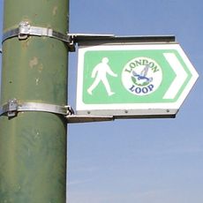
London Outer Orbital Path
476 m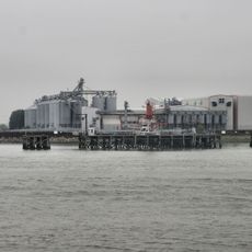
Tilda
2.4 km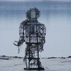
The Diver
2 km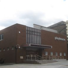
Erith Playhouse
158 m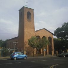
Our Lady of the Angels Church, Erith
1.4 km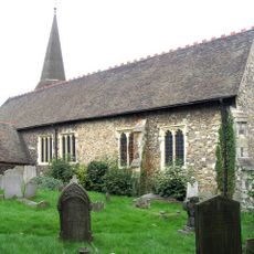
Parish Church of St John the Baptist
1.2 km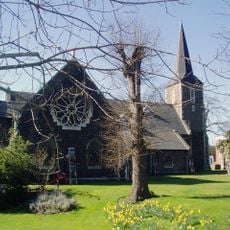
Parish Church of All Saints
2.4 km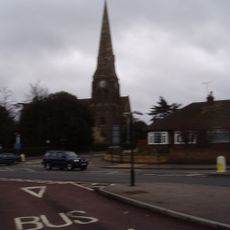
Christ Church
393 m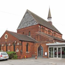
St Paul's
1.7 km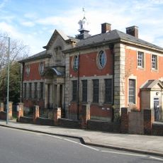
Erith Old Library
356 m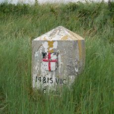
Coal Duty Boundary Marker (On Foreshore, At Mouth Of River Darenth, West Bank)
2.4 km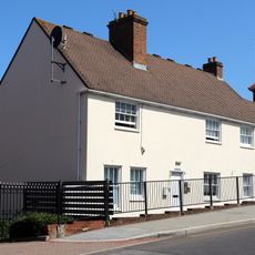
28 And 30, Erith High Street
199 m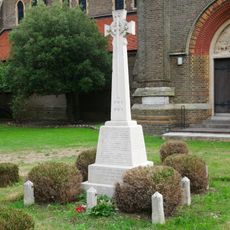
Erith (Christ Church) War Memorial
409 m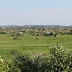
World War II Heavy Anti-Aircraft (Haa) Battery
1.7 km
Crayford Manor House
2.5 km
Large Barn At Howbury Farm
1.6 km
First World War Memorial at St John the Baptist Church, Erith
1.2 km
The X-Ray Department, Formerly The Underground Hospital, Erith And District Hospital
1.2 km
Bexley College (Former Erith Technical Institute) Including Attached Walls Railings And Gatepiers
1.9 km
Howbury moated site
1.7 km
Tivoli Cinema
916 m
Erith Museum
354 m
Vue Dagenham
582 m
Barnehurst Golf Course
2.3 km
Earth Core Columns
315 m
Œuvre d’art, sculpture
354 m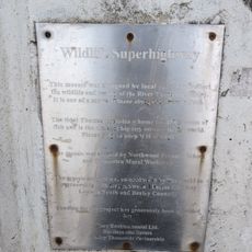
Œuvre d’art, carreau
491 m
Point de vue panoramique
1.6 kmAvis
Vous avez visité ce lieu ? Touchez les étoiles pour le noter et partager votre expérience ou vos photos avec la communauté ! Essayez maintenant ! Vous pouvez annuler à tout moment.
Trouvez des trésors cachés à chaque coin de rue !
Des petits cafés pittoresques aux points de vue planqués, fuyez la foule et dénichez les lieux qui vous ressemblent vraiment. Notre app vous facilite la vie : recherche vocale, filtres malins, itinéraires optimisés et bons plans partagés par des voyageurs du monde entier. Téléchargez vite pour vivre l'aventure en version mobile !

Une approche inédite de la découverte touristique❞
— Le Figaro
Tous les lieux qui valent la peine d'être explorés❞
— France Info
Une excursion sur mesure en quelques clics❞
— 20 Minutes