
WWII Historical Bldg. Gen. Douglas Mc Arthur
Emplacement : Dagupan
Coordonnées GPS : 16.04300,120.33304
Dernière mise à jour : 25 octobre 2025 à 22:50
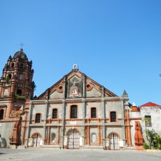
Parish Church of Saints Peter and Paul
12.9 km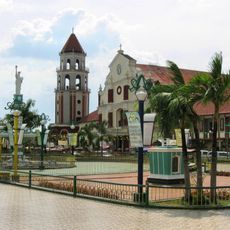
Saint Dominic de Guzman Parish Church
13.1 km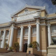
Pangasinan Provincial Capitol
10.9 km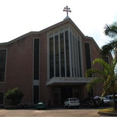
Metropolitan Cathedral of St. John the Evangelist
169 m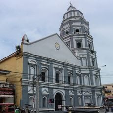
Epiphany of Our Lord Co-Cathedral Parish
11.1 km
Casa Real
11.3 km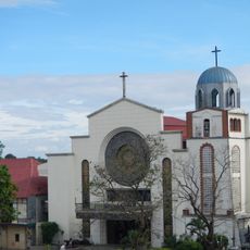
Saint Ildephonse of Seville Parish Church
16.2 km
Our Lady of Lourdes Parish Church
14.1 km
Dagupan Church
216 m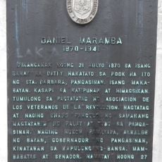
Daniel Maramba historical marker
8.7 km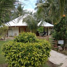
Sierra Vista Beach Resort
12.3 km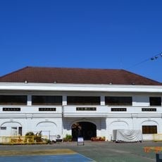
Dagupan City Museum
123 m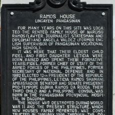
Ramos House historical marker
10.9 km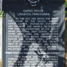
Ramos House historical marker
10.8 km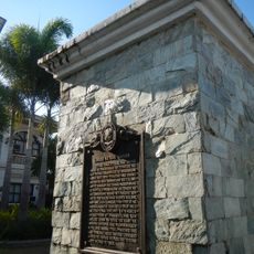
City of San Carlos historical marker
13.1 km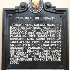
Casa Real of Lingayen historical marker
11.3 km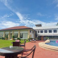
Shaira's place
12 km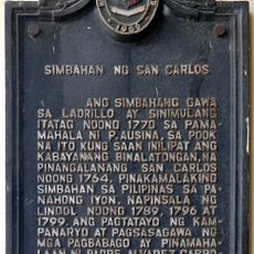
Church of San Carlos historical marker
13.1 km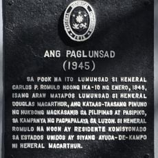
The Launch historical marker
10.9 km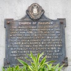
Church of Dagupan historical marker
236 m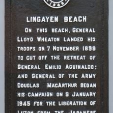
Lingayen Beach historical marker
10.9 km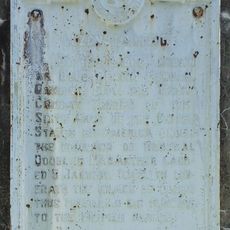
Luzon Landing historical marker
3.5 km
San fabian resort
10 km
Cayanga Bridge
10.2 km
M MOTIONS PHOTOGRAPHY
5.4 km
Lighting bridge
537 m
Statue, œuvre d’art
7.9 km
Johnson's Farm
11.3 kmAvis
Vous avez visité ce lieu ? Touchez les étoiles pour le noter et partager votre expérience ou vos photos avec la communauté ! Essayez maintenant ! Vous pouvez annuler à tout moment.
Trouvez des trésors cachés à chaque coin de rue !
Des petits cafés pittoresques aux points de vue planqués, fuyez la foule et dénichez les lieux qui vous ressemblent vraiment. Notre app vous facilite la vie : recherche vocale, filtres malins, itinéraires optimisés et bons plans partagés par des voyageurs du monde entier. Téléchargez vite pour vivre l'aventure en version mobile !

Une approche inédite de la découverte touristique❞
— Le Figaro
Tous les lieux qui valent la peine d'être explorés❞
— France Info
Une excursion sur mesure en quelques clics❞
— 20 Minutes