
Town Hall, Town hall in Bampton, West Oxfordshire, Oxfordshire, UK
Emplacement : Bampton
Coordonnées GPS : 51.72651,-1.54556
Dernière mise à jour : 3 mars 2025 à 14:57

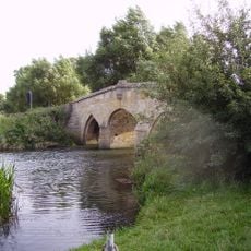
Radcot Bridge
4.8 km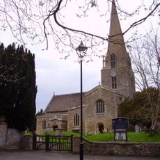
Church of St Mary, Bampton
265 m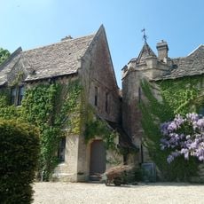
Bampton Castle
530 m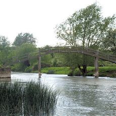
Old Man's Bridge
3.3 km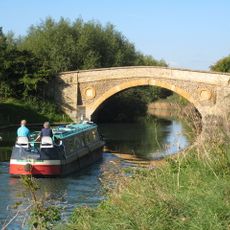
Tadpole Bridge
3.4 km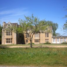
Carswell Manor
5.6 km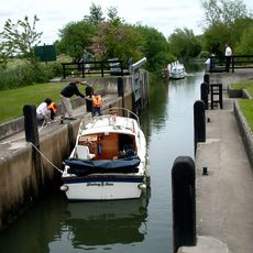
Rushey Lock
3.3 km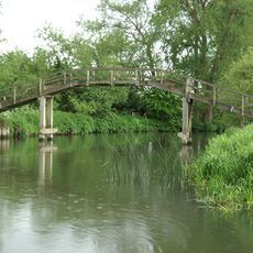
Tenfoot Bridge
5.3 km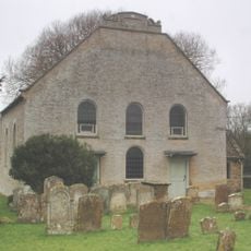
Cote Baptist Church
3.6 km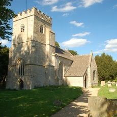
Church of St Peter
4.3 km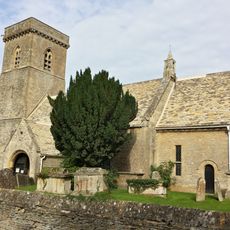
Church of St Britius
4.7 km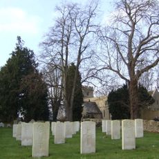
Church of St Mary the Virgin
3 km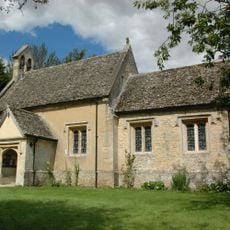
Church of St Nicholas And St Swithin
4.6 km
Church of St Stephen
3.3 km
Church of the Holy Trinity
3.4 km
Church of St James
2.7 km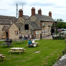
The Trout Inn
3.5 km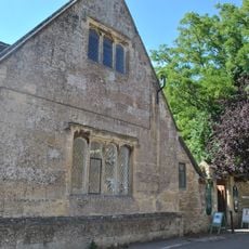
Bampton Library
197 m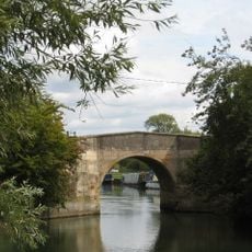
Canal Bridge, Radcot
4.7 km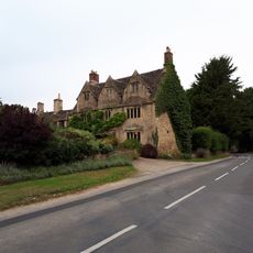
Plough Hotel
3.2 km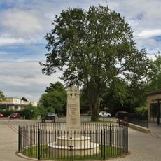
Carterton War Memorial
5 km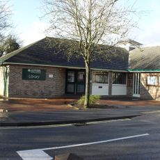
Carterton Library
5 km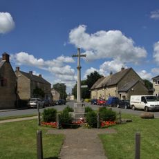
Aston War Memorial
2.6 km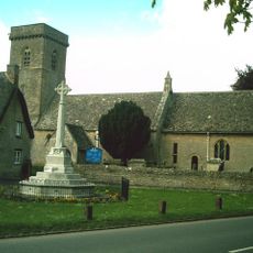
Brize Norton War Memorial
4.6 km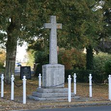
Clanfield War Memorial, Oxfordshire
3.3 km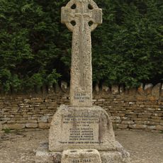
Black Bourton War Memorial
3 km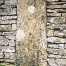
Milestone, Station Road; opp. Church, in boundary wall of Stoneleigh House
4.7 km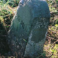
Milestone, Buckland Marsh; Gore Farm
4.6 kmVous avez visité ce lieu ? Touchez les étoiles pour le noter et partager votre expérience ou vos photos avec la communauté ! Essayez maintenant ! Vous pouvez annuler à tout moment.
Trouvez des trésors cachés à chaque coin de rue !
Des petits cafés pittoresques aux points de vue planqués, fuyez la foule et dénichez les lieux qui vous ressemblent vraiment. Notre app vous facilite la vie : recherche vocale, filtres malins, itinéraires optimisés et bons plans partagés par des voyageurs du monde entier. Téléchargez vite pour vivre l'aventure en version mobile !

Une approche inédite de la découverte touristique❞
— Le Figaro
Tous les lieux qui valent la peine d'être explorés❞
— France Info
Une excursion sur mesure en quelques clics❞
— 20 Minutes