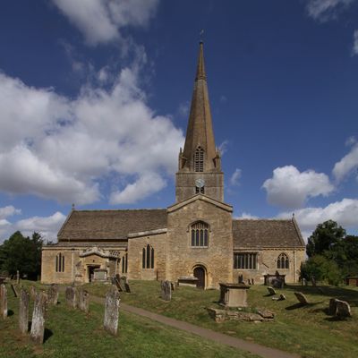
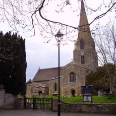
Bampton, village d'Angleterre
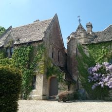
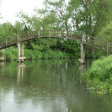
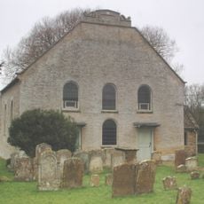
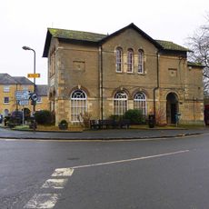
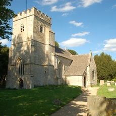
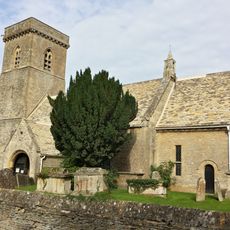
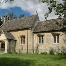
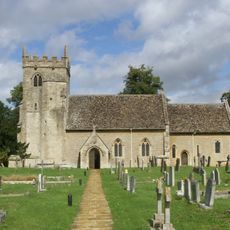
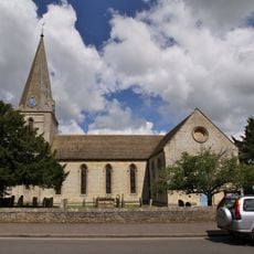
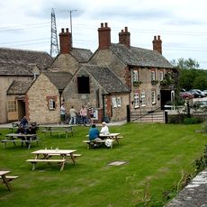
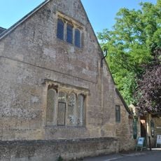
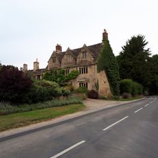
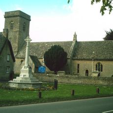
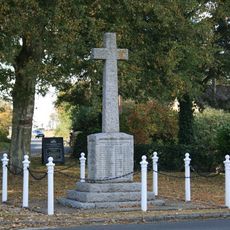
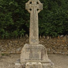
Bampton est un village du West Oxfordshire doté d'une longue histoire et d'une architecture anglaise traditionnelle. Il sert de centre administratif d'une paroisse civile et conserve son caractère de village avec des commerces locaux et des bâtiments résidentiels de différentes périodes.
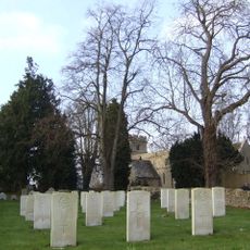
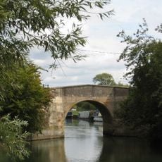
Bampton a été fondé au Moyen Âge et s'est développé en tant que centre commercial important de la région. Son importance a décliné au fil des siècles, mais il a conservé son noyau historique et son rôle de centre communautaire.
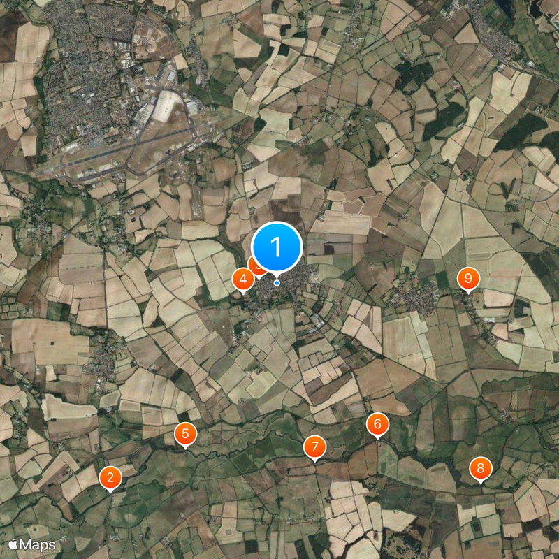
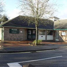
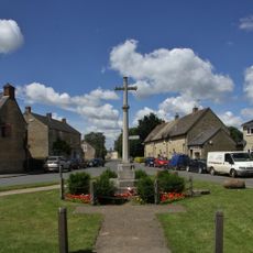
Le village est facile à parcourir à pied et dispose d'un centre clair avec des commerces et des installations autour de la rue principale. Les visiteurs doivent être préparés à un terrain inégal et à des chemins étroits, car c'est un endroit ancien au plan traditionnel.
La communauté des voyageurs curieux
AroundUs rassemble des milliers de lieux sélectionnés, conseils locaux et pépites cachées, enrichis chaque jour par plus de 60,000 contributeurs à travers le monde.