
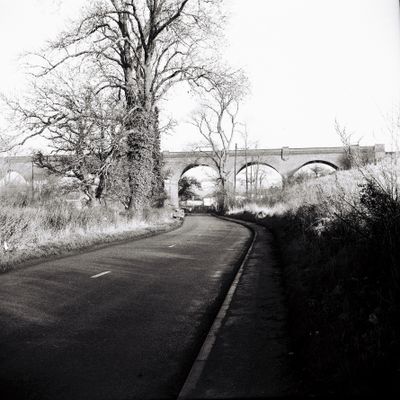
Hornsmill Viaduct, railway viaduct over the River Lea near Hertford, Hertfordshire, UK
Emplacement : Hertford
Coordonnées GPS : 51.78558,-0.08843
Dernière mise à jour : 3 mars 2025 à 02:53
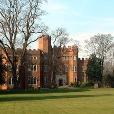
Château de Hertford
1.2 km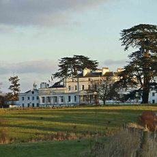
Bayfordbury
1.1 km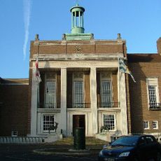
County Hall Including Terraces And Fountain
705 m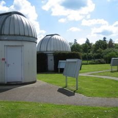
Bayfordbury Observatory
1.2 km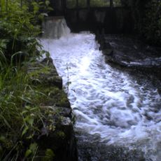
Hertford Castle Weir
203 m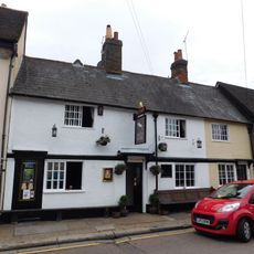
The White Horse Public House
1.1 km
Willowmead
913 m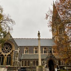
Church of St Andrew
1.2 km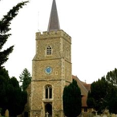
Church of St Mary and St John, Hertingfordbury
1.2 km
Castle Moat House
1.2 km
Cecil House
1.2 km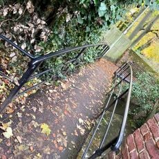
Footbridge Over River Mimram And Railings
1.2 km
Coachouse And Stables To Number 23
1.2 km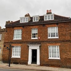
20, Castle Street
1.3 km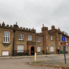
24, Castle Street
1.2 km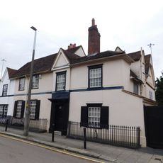
The Walnuts (number 23) Including Front Railings
1.2 km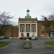
Forecourt To County Hall Including Bas Relief Drum, Lamp Posts, Boundary Marker
726 m
78-84, Horns Mill Road
158 m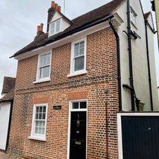
56, St Andrew Street
1.2 km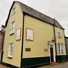
54, St Andrew Street
1.2 km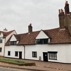
58 And 60, St Andrew Street
1.2 km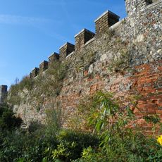
Bailey Walls, South East Range To Hertford Castle (hertford Castle Demolished)
1.2 km
29, Castle Street
1.1 km
Gatehouse To Hertford Castle (hertford Castle Demolished)
1.2 km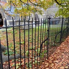
Boundary Railings To St Andrews Churchyard
1.2 km
Cawthorne
1.2 km
Icehouse Approximately 35 Metres South Of Postern, Hertford Castle (Hertford Castle Demolished)
1.2 km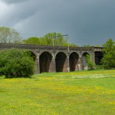
Hertford Viaduct
688 mVous avez visité ce lieu ? Touchez les étoiles pour le noter et partager votre expérience ou vos photos avec la communauté ! Essayez maintenant ! Vous pouvez annuler à tout moment.
Trouvez des trésors cachés à chaque coin de rue !
Des petits cafés pittoresques aux points de vue planqués, fuyez la foule et dénichez les lieux qui vous ressemblent vraiment. Notre app vous facilite la vie : recherche vocale, filtres malins, itinéraires optimisés et bons plans partagés par des voyageurs du monde entier. Téléchargez vite pour vivre l'aventure en version mobile !

Une approche inédite de la découverte touristique❞
— Le Figaro
Tous les lieux qui valent la peine d'être explorés❞
— France Info
Une excursion sur mesure en quelques clics❞
— 20 Minutes