
Friends Bridge, Pedestrian bridge (footbridge) in Hackney, London, England, United Kingdom; Hackney, London, England, United Kingdom
Emplacement : London Borough of Hackney
Coordonnées GPS : 51.56144,-0.03730
Dernière mise à jour : 5 mars 2025 à 15:42

New Spitalfields Market
1.3 km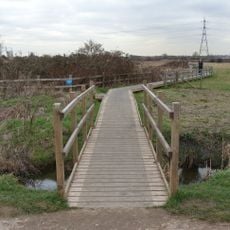
Walthamstow Marshes
1.3 km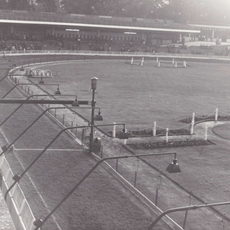
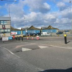
Clapton Stadium
560 m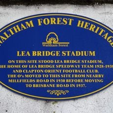
Lea Bridge Stadium
577 m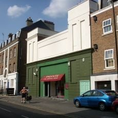
Castle Cinema
1.3 km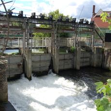
Middlesex Filter Beds Weir
499 m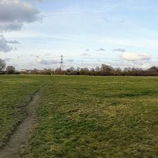
Leyton Marshes
843 m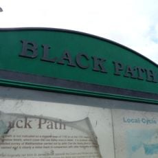
Black Path
1.3 km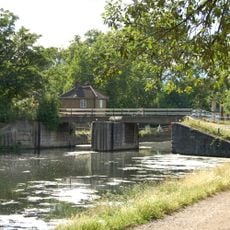
Pond Lane Flood Gates
443 m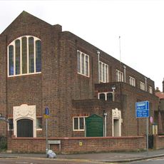
Emmanuel Church (Parish Church Of Emmanuel)
1 km
Energy Sculpture London
1.4 km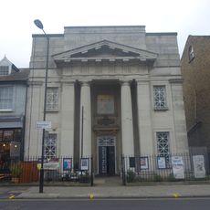
Chats Palace
1.3 km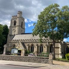
Church of St Barnabas
1.4 km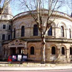
United Reformed Church
1.4 km
Church of St Saviour
1.5 km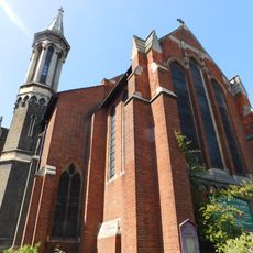
Church of St James the Great
1.4 km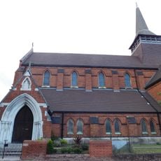
Former Church of St Paul
1.1 km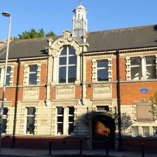
Lea Bridge Library
1.4 km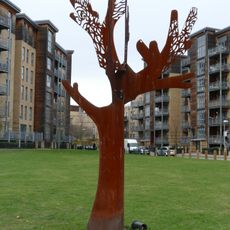
Friendship Tree
747 m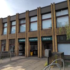
Homerton Library
1.4 km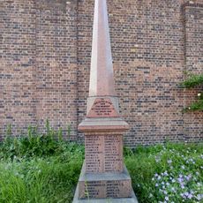
War memorial in the churchyard of the Church of Emmanuel, Leyton
1 km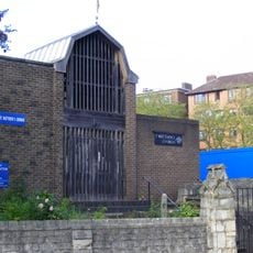
St Matthew
1.3 km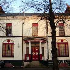
Pond House
1.3 km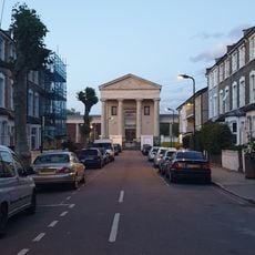
Salvation Army Congress Hall
1.3 km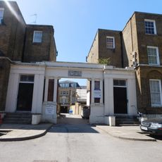
The Salvation Army Mothers' Hospital, Front Buildings
1.4 km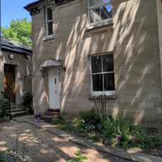
Verger's House To United Reformed Church
1.4 km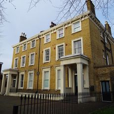
126 And 128, Lower Clapton Road E5
1.4 km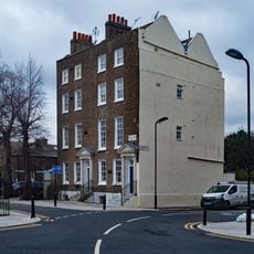
158 And 160, Lower Clapton Road E5
1.3 kmVous avez visité ce lieu ? Touchez les étoiles pour le noter et partager votre expérience ou vos photos avec la communauté ! Essayez maintenant ! Vous pouvez annuler à tout moment.
Trouvez des trésors cachés à chaque coin de rue !
Des petits cafés pittoresques aux points de vue planqués, fuyez la foule et dénichez les lieux qui vous ressemblent vraiment. Notre app vous facilite la vie : recherche vocale, filtres malins, itinéraires optimisés et bons plans partagés par des voyageurs du monde entier. Téléchargez vite pour vivre l'aventure en version mobile !

Une approche inédite de la découverte touristique❞
— Le Figaro
Tous les lieux qui valent la peine d'être explorés❞
— France Info
Une excursion sur mesure en quelques clics❞
— 20 Minutes