
Llethr Llwyd, hill (465m) in Ceredigion
Emplacement : Ceredigion
Altitude : 465 m
Coordonnées GPS : 52.16235,-3.84843
Dernière mise à jour : 11 mars 2025 à 12:31

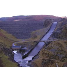
Llyn Brianne
7.5 km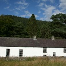
Soar Y Mynydd Chapel
4.8 km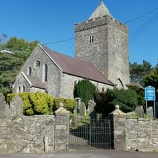
St David's Church
7.6 km
Castell Rhyfel
6.7 km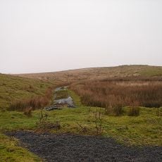
Esgair Ffrwd
4.8 km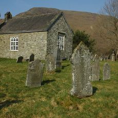
Church of St Paulinus
8 km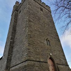
Church of Saint Caron
8.6 km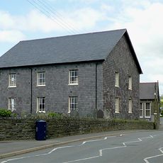
Bwlchgwynt Chapel
8.7 km
Esgair Gelli
6.1 km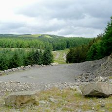
Bronbyrfel quarry
1.6 km
Oriel Jays Gallery
8.6 km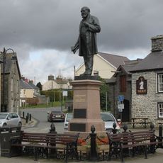
Henry Richard Memorial
8.6 km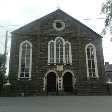
Bethesda Chapel
7.7 km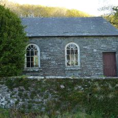
Ysgoldy Rhiwdywyll Schoolroom
6.9 km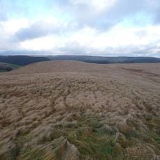
Pen y Gurnos
4.5 km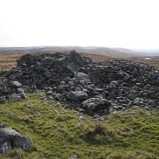
Garn Gron, Ystrad Fflur
7.9 km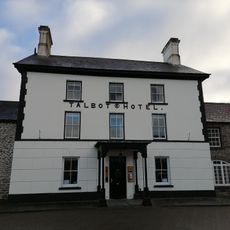
The Talbot Hotel
8.6 km
National Westminster Bank
8.7 km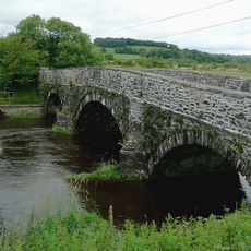
Pont Einon
10.5 km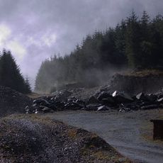
Bwlch Rhyd y Meirch quarry
9.7 km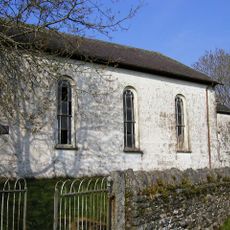
Blaencaron Chapel
8.5 km
Oriel Rhiannon
8.6 km
Gogoian Calvinistic Methodist Sunday School
9.6 km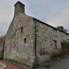
Trefelin
8.8 km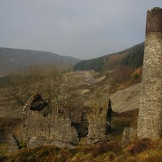
Engine house and chimney at Rhandirmwyn lead-mine
10.1 km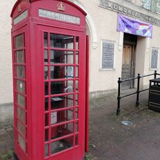
Telephone Call Box by the Memorial Hall (01974 298233)
8.6 km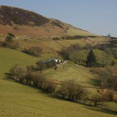
Bwlch-y-Ffin Independent Chapel
7.7 km
Llanio Welsh Calvinistic Methodist Sunday School
10.2 kmAvis
Vous avez visité ce lieu ? Touchez les étoiles pour le noter et partager votre expérience ou vos photos avec la communauté ! Essayez maintenant ! Vous pouvez annuler à tout moment.
Trouvez des trésors cachés à chaque coin de rue !
Des petits cafés pittoresques aux points de vue planqués, fuyez la foule et dénichez les lieux qui vous ressemblent vraiment. Notre app vous facilite la vie : recherche vocale, filtres malins, itinéraires optimisés et bons plans partagés par des voyageurs du monde entier. Téléchargez vite pour vivre l'aventure en version mobile !

Une approche inédite de la découverte touristique❞
— Le Figaro
Tous les lieux qui valent la peine d'être explorés❞
— France Info
Une excursion sur mesure en quelques clics❞
— 20 Minutes