
Groombridge Place Moat, Walls and Bridge including the West Gateway and Cottage on the North Bridge
Groombridge Place Moat, Walls and Bridge including the West Gateway and Cottage on the North Bridge, structures in Speldhurst, Kent, UK
Emplacement : Speldhurst
Coordonnées GPS : 51.11744,0.18788
Dernière mise à jour : 7 mars 2025 à 10:03
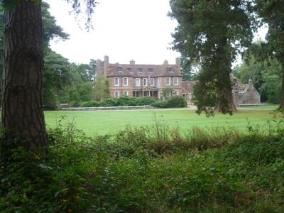
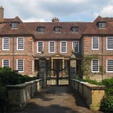
Groombridge Place
113 m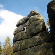
Harrison's Rocks
2.1 km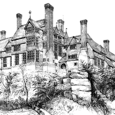
Leyswood
2.6 km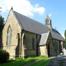
Church of St Peter
2.8 km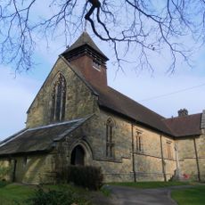
Church of St Thomas the Apostle
758 m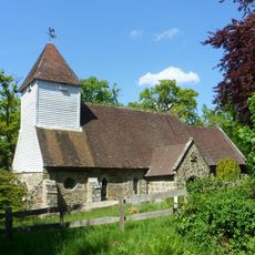
Church of St Martin of Tours
2.5 km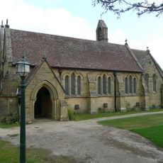
Church of All Saints
1.8 km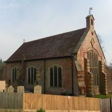
Chapel Of St John The Evangelist
173 m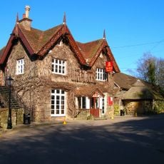
High Rocks Inn
2.7 km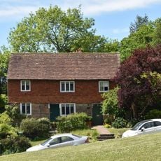
The Old Town Post Office Including Front Area Railings
224 m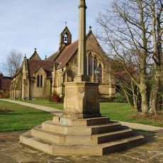
Langton Green War Memorial
1.8 km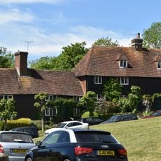
3 And 4, Bird-in-hand Street
259 m
The Crown Including Service Buildings Adjoining To North
203 m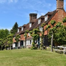
3, 4, 5 And 6, The Walks
234 m
Tender Meads
2.6 km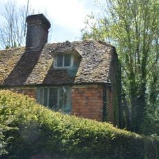
Mill House
173 m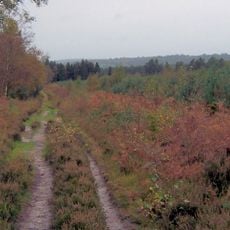
Broadwater Warren RSPB Reserve
2.2 km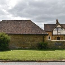
Stables Approximately 10 Metres North East Of Hollonds Farmhouse
1.8 km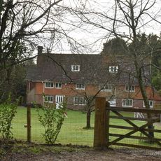
Stone Cross Farmhouse
1.7 km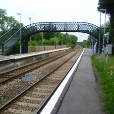
Footbridge At Ashurst Station
2.8 km
7, 8 And 9, The Walks
222 m
Langton Park Lodge
1.9 km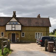
Hollonds Farmhouse
1.8 km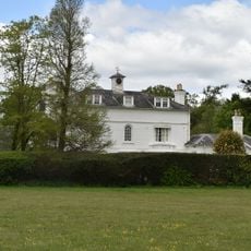
Langton House
1.9 km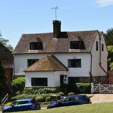
The Old Butchers
213 m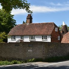
Corseley Farmhouse
879 m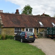
Forge Approximately 5 Metres North Of Forge House
2 km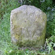
Milestone, Withyham Road; Groombridge
258 mAvis
Vous avez visité ce lieu ? Touchez les étoiles pour le noter et partager votre expérience ou vos photos avec la communauté ! Essayez maintenant ! Vous pouvez annuler à tout moment.
Trouvez des trésors cachés à chaque coin de rue !
Des petits cafés pittoresques aux points de vue planqués, fuyez la foule et dénichez les lieux qui vous ressemblent vraiment. Notre app vous facilite la vie : recherche vocale, filtres malins, itinéraires optimisés et bons plans partagés par des voyageurs du monde entier. Téléchargez vite pour vivre l'aventure en version mobile !

Une approche inédite de la découverte touristique❞
— Le Figaro
Tous les lieux qui valent la peine d'être explorés❞
— France Info
Une excursion sur mesure en quelques clics❞
— 20 Minutes