
Churchyard wall at Church of St Michael, Grade II listed churchyard wall in Marbury, Cheshire East, UK
Emplacement : Marbury cum Quoisley
Coordonnées GPS : 53.00606,-2.65630
Dernière mise à jour : 10 mars 2025 à 01:59

Abbaye de Combermere
3.2 km
St Chad's Chapel, Tushingham
3.4 km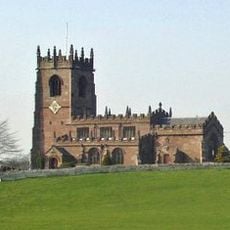
St Michael's Church
17 m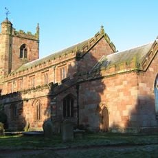
St Margaret's Church
3.9 km
St Chad's Church, Tushingham
3.9 km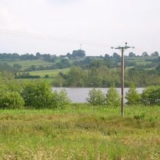
Quoisley Meres
1.2 km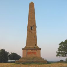
Monumental Obelisk at Combermere Abbey
1.7 km
Combermere Abbey (house)
3.1 km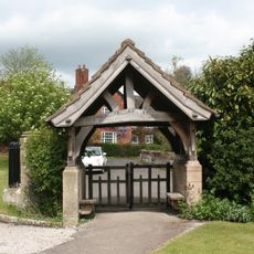
Lychgate in Churchyard of St Michael
54 m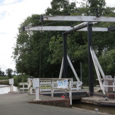
Wrenbury wooden lifting bridge
3.8 km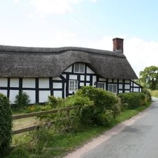
Stokes Cottage
2.6 km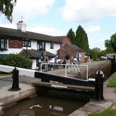
Willeymoor Lock
2.6 km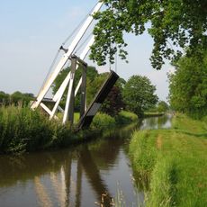
Wrenbury Frith Bridge
3.1 km
Southern range of service buildings
3.1 km
Outhouse to Swan Inn
119 m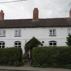
Hawk House
4 km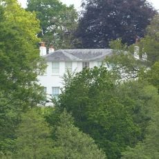
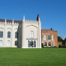
Marbury Hall
532 m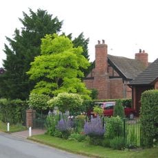
Brook Farmhouse
1.9 km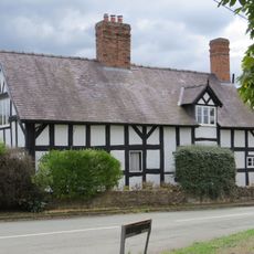
Elm House
3.9 km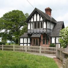
Gate Lodge To Marbury Hall
622 m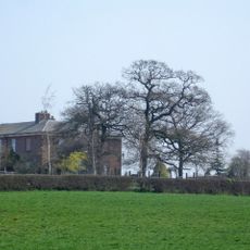
Lower Lodge
2.8 km
Pearl Farmhouse
3.2 km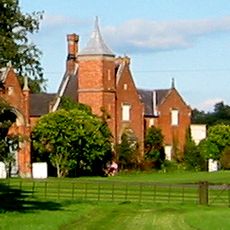
Stable block
3.2 km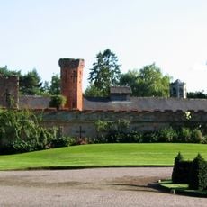
Northern range of service buildings
3.1 km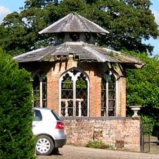
Game larder to the centre of the service court at Combermere Abbey
3.1 km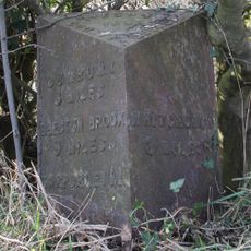
Milepost, S of Quoisley Lock on canal
2.2 km
Milepost, Sandhole Farm; 100m S of power lines
3.8 km
Milepost, N of Bell o' th' Hill, opp. Church of St Chad, Tushingham
3.9 kmAvis
Vous avez visité ce lieu ? Touchez les étoiles pour le noter et partager votre expérience ou vos photos avec la communauté ! Essayez maintenant ! Vous pouvez annuler à tout moment.
Trouvez des trésors cachés à chaque coin de rue !
Des petits cafés pittoresques aux points de vue planqués, fuyez la foule et dénichez les lieux qui vous ressemblent vraiment. Notre app vous facilite la vie : recherche vocale, filtres malins, itinéraires optimisés et bons plans partagés par des voyageurs du monde entier. Téléchargez vite pour vivre l'aventure en version mobile !

Une approche inédite de la découverte touristique❞
— Le Figaro
Tous les lieux qui valent la peine d'être explorés❞
— France Info
Une excursion sur mesure en quelques clics❞
— 20 Minutes