
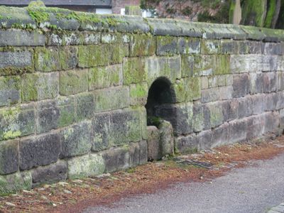
Churchyard wall to High Street, School Lane and Southbank
Churchyard wall to High Street, School Lane and Southbank, Grade II listed wall in Great Budworth, Cheshire, UK
Emplacement : Great Budworth
Coordonnées GPS : 53.29338,-2.50390
Dernière mise à jour : 4 mars 2025 à 20:59
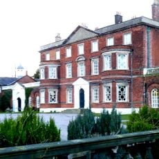
Belmont Hall
1.4 km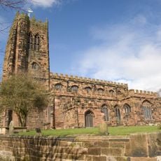
St Mary and All Saints' Church, Great Budworth
36 m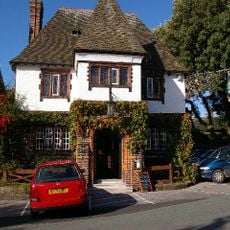
George and Dragon, Great Budworth
87 m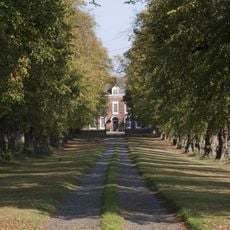
Aston Park, Cheshire
1.4 km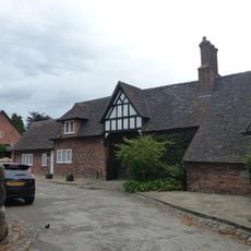
Goldmine House
46 m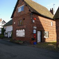
16, High Street
169 m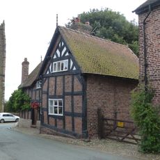
50, Church Street
86 m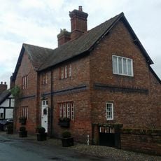
42, Church Street
125 m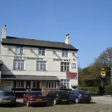
Cock O'Budworth
897 m
24, High Street
104 m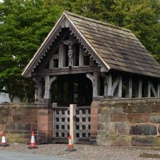
Lychgate to Churchyard of St Mary and All Angels
65 m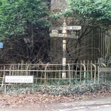
Guidepost at northern corner of junction with Budworth Lane
365 m
Old Hall
170 m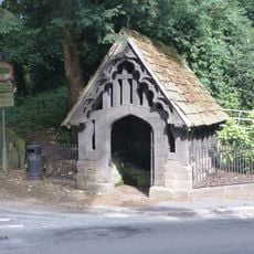
Dene Well House
344 m
Upper Wellhouse
79 m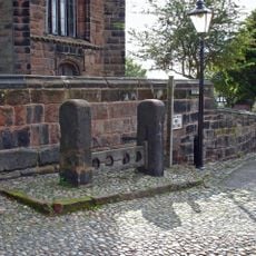
Stocks
67 m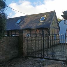
Box Hedge Hall Barn
1.2 km
Hough Farmhouse
100 m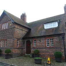
14, High Street
193 m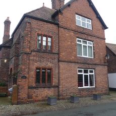
Providence House
105 m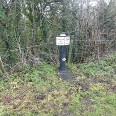
Canal milestone at NGR 6626 7616
1.4 km
20, High Street
144 m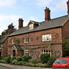
The Manor House
95 m
K6 Telephone Kiosk
140 m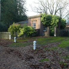
Main Lodge to Belmont Hall
979 m
35 and 36, School Lane
70 m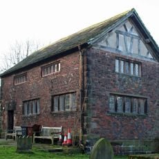
The Old Schoolhouse
59 m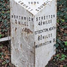
Milepost, S of Great Budworth cross roads
367 mVous avez visité ce lieu ? Touchez les étoiles pour le noter et partager votre expérience ou vos photos avec la communauté ! Essayez maintenant ! Vous pouvez annuler à tout moment.
Trouvez des trésors cachés à chaque coin de rue !
Des petits cafés pittoresques aux points de vue planqués, fuyez la foule et dénichez les lieux qui vous ressemblent vraiment. Notre app vous facilite la vie : recherche vocale, filtres malins, itinéraires optimisés et bons plans partagés par des voyageurs du monde entier. Téléchargez vite pour vivre l'aventure en version mobile !

Une approche inédite de la découverte touristique❞
— Le Figaro
Tous les lieux qui valent la peine d'être explorés❞
— France Info
Une excursion sur mesure en quelques clics❞
— 20 Minutes