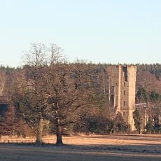
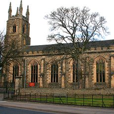
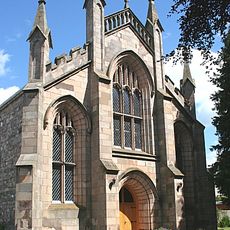
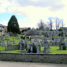
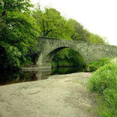
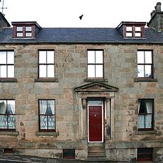
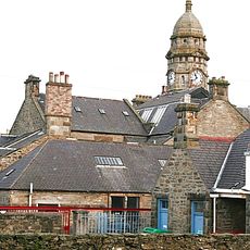
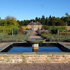
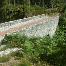
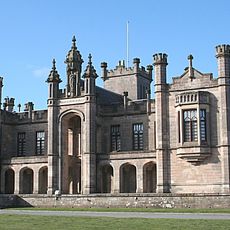
Keith, Scottish parish in Moray, Scotland, UK
Emplacement : Moray
Partage une frontière avec : Grange, Cairnie, Botriphnie, Boharm, Bellie, Rathven
Coordonnées GPS : 57.54708,-2.95999
Dernière mise à jour : 15 mars 2025 à 05:09
Château de Gordon
11.5 km
Craigmin Bridge
11 km
St Rufus Church, Keith
519 m
Kynoch Park
1.1 km
St Ninian's Church, Tynet
11.1 km
Keith, Chapel Street, St Thomas' Catholic Church
997 m
Fochabers, Gordon Episcopal Chapel And Parsonage
11.1 km
Old Bridge Of Keith, River Islay, Regent Street, Keith
402 m
St Gregory's Church, Preshome
10.4 km
Fochabers, The Square, Bellie Parish Church
11.1 km
Pitlurg Castle
5.7 km
Milton Tower
225 m
St. Mary's Fochabers
10.9 km
Union Street drill hall, Keith
834 m
Mill Of Towie
4.4 km
Road bridge over the River Spey, Boat o' Brig
10.9 km
Keith Cemetery
443 m
Bridge of Grange
5 km
Keith, 11 Chapel Street, Cuthill House
1.1 km
Boat O' Brig, Railway Bridge
10.8 km
Old Fochabers
11.2 km
Keith, Land Street, War Memorial
663 m
Gordon Castle, Gardens
11.3 km
Crooks Mill
1.7 km
Keith, 138-140 Mid Street, The Institute
886 m
Gordon Castle, Walled Gardens
11.1 km
Meikle Dramlach Bridge
7.9 km
Milne's High School
10.9 kmAvis
Vous avez visité ce lieu ? Touchez les étoiles pour le noter et partager votre expérience ou vos photos avec la communauté ! Essayez maintenant ! Vous pouvez annuler à tout moment.
Trouvez des trésors cachés à chaque coin de rue !
Des petits cafés pittoresques aux points de vue planqués, fuyez la foule et dénichez les lieux qui vous ressemblent vraiment. Notre app vous facilite la vie : recherche vocale, filtres malins, itinéraires optimisés et bons plans partagés par des voyageurs du monde entier. Téléchargez vite pour vivre l'aventure en version mobile !
Une approche inédite de la découverte touristique❞
— Le Figaro
Tous les lieux qui valent la peine d'être explorés❞
— France Info
Une excursion sur mesure en quelques clics❞
— 20 Minutes