
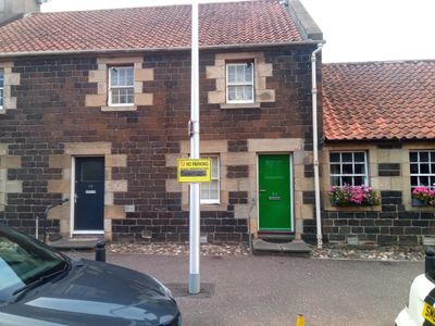
54 Main Street, Ratho, architectural structure in City of Edinburgh, Scotland, UK
Emplacement : City of Edinburgh
Emplacement : Edinburgh
Coordonnées GPS : 55.92195,-3.37997
Dernière mise à jour : 6 mars 2025 à 07:14

Dalmahoy
2.1 km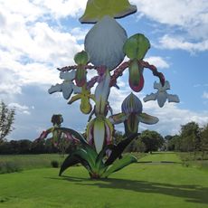
Jupiter Artland
3.2 km
Bonnington House
3.2 km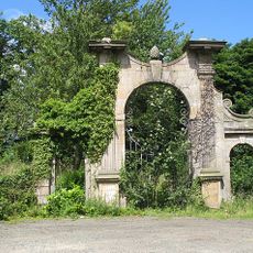
Hatton House
2.3 km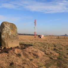
Cat Stane
3.8 km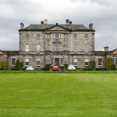
Newliston
3.9 km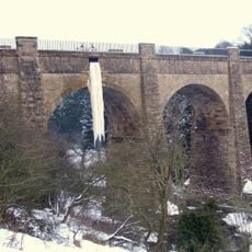
Almond Aqueduct
3.4 km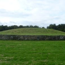
Newbridge chariot
2.3 km
Illieston Castle
3.8 km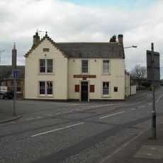
Newbridge Inn
2.6 km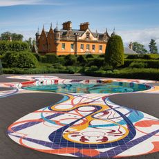
Jupiter Artland
3.5 km
Conifox
3.5 km
Huly Hill, cairn & stone circle SW of Newbridge roundabout
2.4 km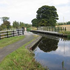
Bonnington Aqueduct
2.2 km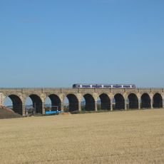
Almond Valley Viaduct
3 km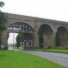
Broxburn Viaduct
3.7 km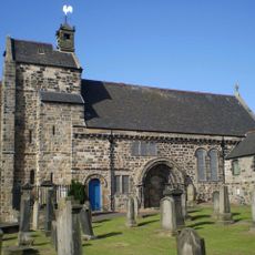
Kirkliston, The Square, Kirkliston Parish Church
3.9 km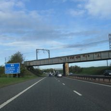
Birdsmill railway bridge
3.2 km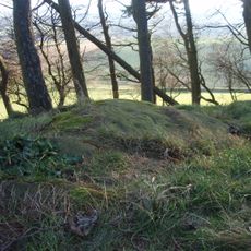
Tormain Hill,cup & ring marked rocks 700m NE of Bonnington Mains
1.4 km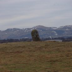
Catstane, inscribed stone and long cist cemetery 690m E of Carlowrie
3.8 km
Lochend Farm, standing stone 100m WNW of
2.2 km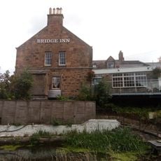
Bridge Inn, 27 Baird Road, Ratho, Union Canal
156 m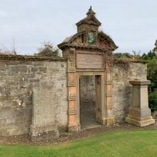
Kirknewton Burial Ground, Dr. Cullen Burial Enclosure
4.5 km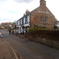
Union Canal, Ratho, Baird Road, Bridge No. 15
174 m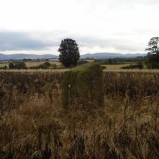
Easter Norton,standing stone 280m WSW of
2 km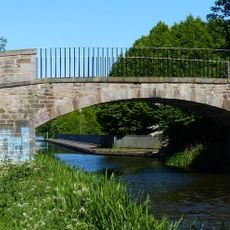
East Hermiston Bridge, Union Canal
4.5 km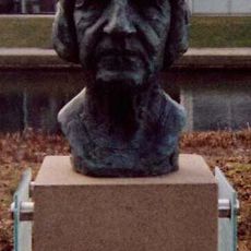
Bust of Naomi Mitchison
4.3 km
Ratho, Baird Road, Ratho Parish Church And Lady's Well
262 mAvis
Vous avez visité ce lieu ? Touchez les étoiles pour le noter et partager votre expérience ou vos photos avec la communauté ! Essayez maintenant ! Vous pouvez annuler à tout moment.
Trouvez des trésors cachés à chaque coin de rue !
Des petits cafés pittoresques aux points de vue planqués, fuyez la foule et dénichez les lieux qui vous ressemblent vraiment. Notre app vous facilite la vie : recherche vocale, filtres malins, itinéraires optimisés et bons plans partagés par des voyageurs du monde entier. Téléchargez vite pour vivre l'aventure en version mobile !

Une approche inédite de la découverte touristique❞
— Le Figaro
Tous les lieux qui valent la peine d'être explorés❞
— France Info
Une excursion sur mesure en quelques clics❞
— 20 Minutes