
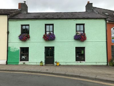
13, St Peter's Street, Carmarthen, Grade II listed building in Carmarthenshire
Emplacement : Carmarthen
Altitude : 23,5 m
Coordonnées GPS : 51.85842,-4.30241
Dernière mise à jour : 5 mars 2025 à 08:36
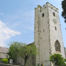
St Peter's Church
50 m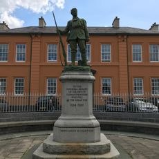
Carmarthenshire War Memorial
116 m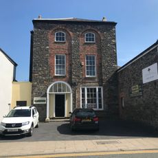
Napier House
184 m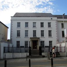
Carmarthen Library
83 m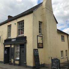
Parrot
112 m
No.24 King Street, Carmarthen
128 m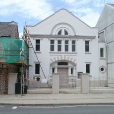
Bethania Chapel
122 m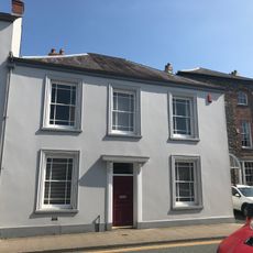
No.14 Spilman Street, Carmarthen
171 m
Nos 9 & 10 The Parade, Carmarthen
173 m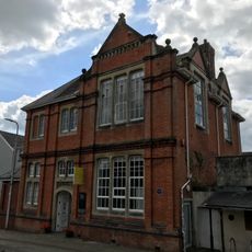
Oriel Myrddin (The Old Art School)
98 m
No.144 Priory Street, Carmarthen
30 m
Nos 28 & 29 King Street, Carmarthen
91 m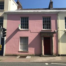
Nos 17 & 18 Spilman Street, Carmarthen
137 m
12, Spilman Street, Carmarthen
193 m
No 6 including railings and gate
157 m
No.15 Spilman Street, Carmarthen
161 m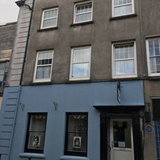
37 & 38 King Street
151 m
1, Priory Street, Carmarthen
50 m
Nos 17 & 18 Spilman Street, Camarthen
144 m
Tŷ Carwyn, including forecourt railings
65 m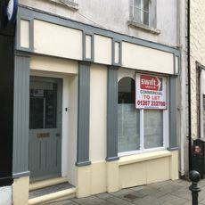
Nos 28 & 29 King Street, Camarthen
96 m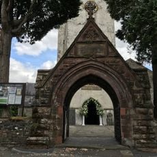
Lychgate to St Peter's Churchyard
77 m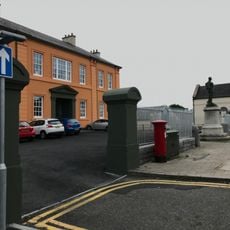
Gatepiers at entrance to former Infirmary
118 m
No.16 Spilman Street, Carmarthen
152 m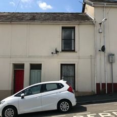
No 7 including railings and gate
161 m
Former Carmarthenshire Infirmary
130 m
Walls, gates, piers and railings to The Vicarage
71 m
No 25, including No 3 Conduit Lane
113 mVous avez visité ce lieu ? Touchez les étoiles pour le noter et partager votre expérience ou vos photos avec la communauté ! Essayez maintenant ! Vous pouvez annuler à tout moment.
Trouvez des trésors cachés à chaque coin de rue !
Des petits cafés pittoresques aux points de vue planqués, fuyez la foule et dénichez les lieux qui vous ressemblent vraiment. Notre app vous facilite la vie : recherche vocale, filtres malins, itinéraires optimisés et bons plans partagés par des voyageurs du monde entier. Téléchargez vite pour vivre l'aventure en version mobile !

Une approche inédite de la découverte touristique❞
— Le Figaro
Tous les lieux qui valent la peine d'être explorés❞
— France Info
Une excursion sur mesure en quelques clics❞
— 20 Minutes