
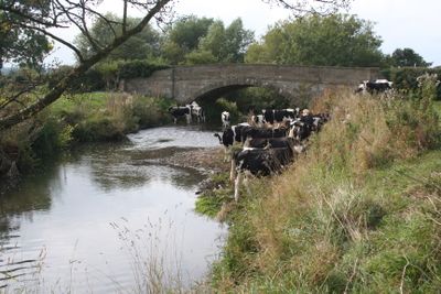
Cook's Bridge, pont situé au Royaume-Uni
Emplacement : Rossett
Altitude : 10 m
Coordonnées GPS : 53.10046,-2.92415
Dernière mise à jour : 4 mars 2025 à 14:58
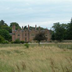
Trevalyn Hall
1.8 km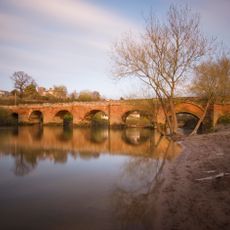
Farndon Bridge
3.5 km
Pulford Castle
2.5 km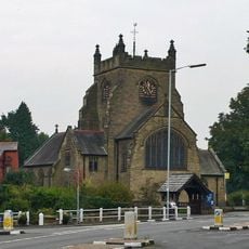
Christ Church, Rossett
1.9 km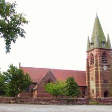
St Mary's Church, Pulford
2.5 km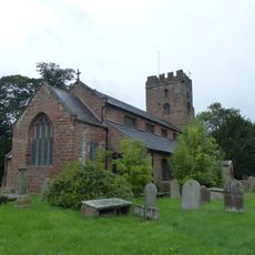
St Chad's Church, Farndon
3.6 km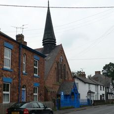
Presbyterian Chapel, Rossett
2 km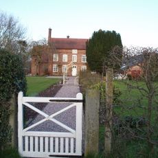
Green Farmhouse, Poulton
3 km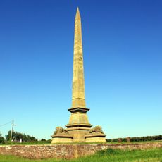
Obelisk Commemorating Roger Barnston
3.3 km
Chapel House
3.6 km
Academy House
3.6 km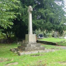
Farndon War Memorial
3.6 km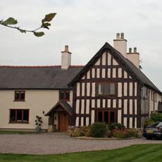
Trevalyn Farmhouse
1 km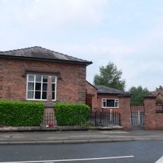
Pulford War Memorial
2.6 km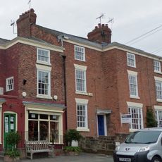
Church View
3.6 km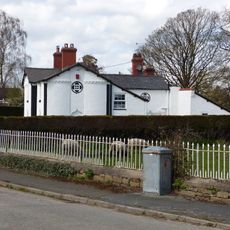
Meifod
2.6 km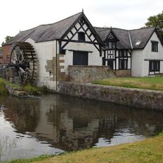
Rossett Mill
1.9 km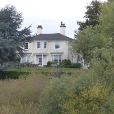
Deebanks
3.4 km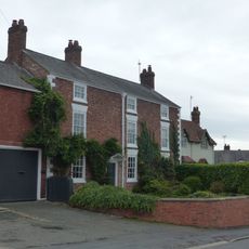
Laurel Bank and workshop
3.5 km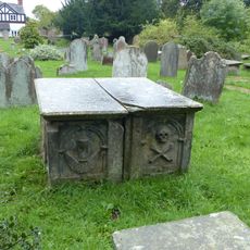
Pair of adjacent table tombs in churchyard (south of St Chad's Church, east of path to church porch)
3.6 km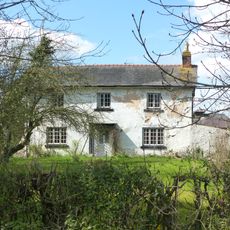
Allington Farmhouse
1.6 km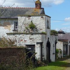
Allington Farm Gatehouse
1.5 km
Sunnyside
3.6 km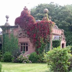
Lodge and forecourt wall north of former Pulford Approach to Eaton Park
2.6 km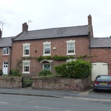
Poplar House, with former cartshed and stable
3.6 km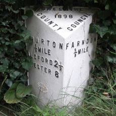
Milepost, N of Farndon, next to South View, between Monument and Briarfield
3.3 km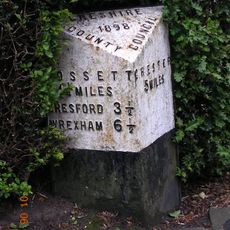
Milepost, Main Street, 20m N of jct with Old Lane
2.7 km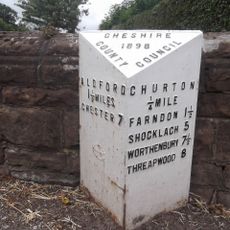
Milepost, N of Churton, opp. Walnut Cottage
3.6 kmAvis
Vous avez visité ce lieu ? Touchez les étoiles pour le noter et partager votre expérience ou vos photos avec la communauté ! Essayez maintenant ! Vous pouvez annuler à tout moment.
Trouvez des trésors cachés à chaque coin de rue !
Des petits cafés pittoresques aux points de vue planqués, fuyez la foule et dénichez les lieux qui vous ressemblent vraiment. Notre app vous facilite la vie : recherche vocale, filtres malins, itinéraires optimisés et bons plans partagés par des voyageurs du monde entier. Téléchargez vite pour vivre l'aventure en version mobile !

Une approche inédite de la découverte touristique❞
— Le Figaro
Tous les lieux qui valent la peine d'être explorés❞
— France Info
Une excursion sur mesure en quelques clics❞
— 20 Minutes