
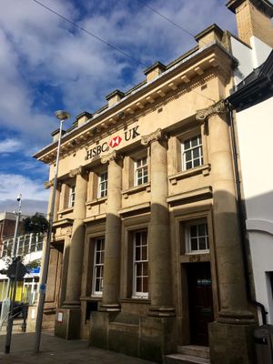
Midland Bank, Grade II listed building in Torfaen County Borough. In the Pontypool town centre at the junction of Commercial Street and Crane Street
Emplacement : Pontymoile
Altitude : 131,5 m
Coordonnées GPS : 51.70314,-3.04118
Dernière mise à jour : 25 septembre 2025 à 08:43
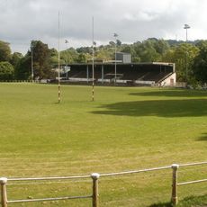
Pontypool Park
504 m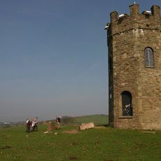
The Folly Tower
2 km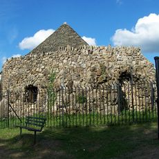
Shell Grotto
1.3 km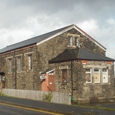
Griffithstown Railway Museum
1.3 km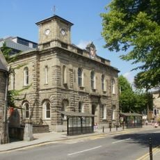
Town Hall
213 m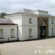
Torfaen Museum
122 m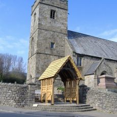
Church of St. Cadoc
1 km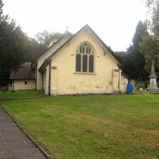
Church Of St Michael And All Angels
2 km
St. Alban's R.C. Church
386 m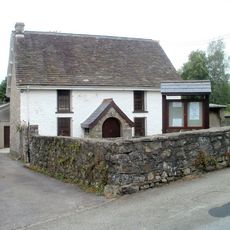
Penygarn Baptist Chapel
662 m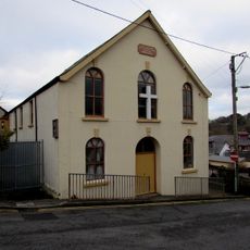
Upper Trosnant Baptist Church
379 m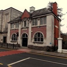
Pontypool Library
196 m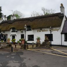
The Horse and Jockey P H
2 km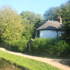
Junction House at Pontymoile Canal Basin, Monmouthshire and Brecon Canal
1.4 km
The Greyhound PH
56 m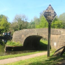
Bridge 53 at Pontymoile Basin, Monmouthshire and Brecon Canal
1.3 km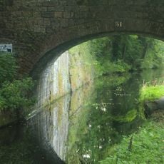
Canal Bridge at Coed-y-Gric
1.5 km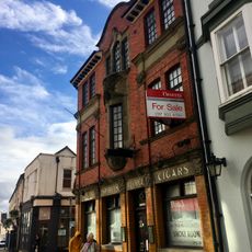
The George
66 m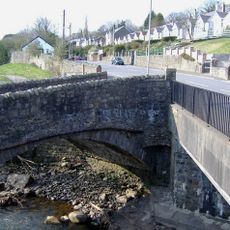
Pont Newynydd
1 km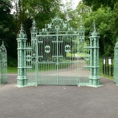
Entrance Gates To Pontypool Park.
1 km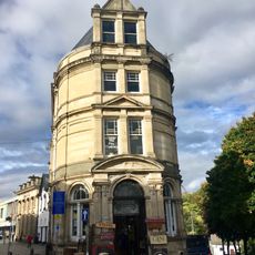
Barclay's Bank
34 m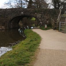
Bridge 56, Monmouthshire and Brecon Canal
1.7 km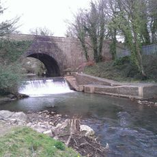
Aqueduct over Afon Lwyd, Monmouthshire and Brecon Canal
1.4 km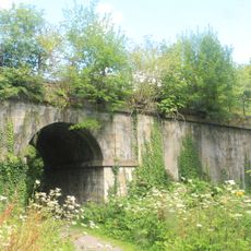
Old railway bridge at Coed-y-Gric
1.5 km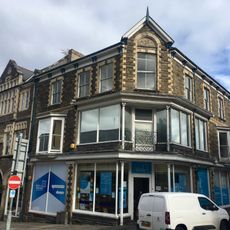
Manchester House, including Mayberry Pharmacy and the Good Job Club
107 m
Old Market House (Second Thoughts)
12 m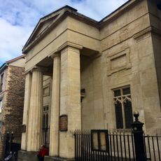
Crane Street Baptist Chapel
82 m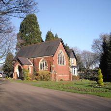
Panteg Cemetery Chapel
1.6 kmAvis
Vous avez visité ce lieu ? Touchez les étoiles pour le noter et partager votre expérience ou vos photos avec la communauté ! Essayez maintenant ! Vous pouvez annuler à tout moment.
Trouvez des trésors cachés à chaque coin de rue !
Des petits cafés pittoresques aux points de vue planqués, fuyez la foule et dénichez les lieux qui vous ressemblent vraiment. Notre app vous facilite la vie : recherche vocale, filtres malins, itinéraires optimisés et bons plans partagés par des voyageurs du monde entier. Téléchargez vite pour vivre l'aventure en version mobile !

Une approche inédite de la découverte touristique❞
— Le Figaro
Tous les lieux qui valent la peine d'être explorés❞
— France Info
Une excursion sur mesure en quelques clics❞
— 20 Minutes