
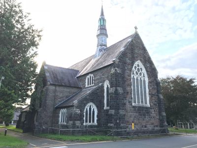
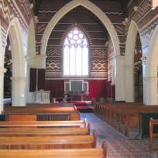
Chapel at Hospital, chapel in Carmarthen
Emplacement : Carmarthen
Altitude : 57,1 m
Coordonnées GPS : 51.85755,-4.33358
Dernière mise à jour : 1 avril 2025 à 02:47
St David's Hospital
124 m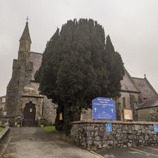
Roman Catholic Church of St Mary
953 m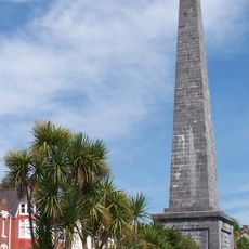
The Picton Monument
921 m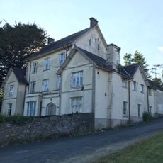
Job's Well House
328 m
Ger-y-Parc, including railings and gate
1.1 km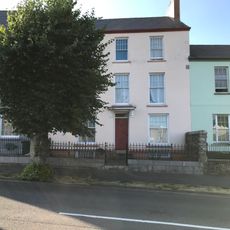
No 28 including railings
982 m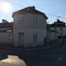
Toll House
703 m
Swn-y-Gwynt, including railings and gates
1.1 km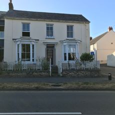
No 22 including wall, railings and gate
1 km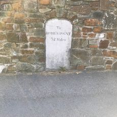
Milestone
831 m
Llwyn Celyn, including railings and gates
1 km
Coed Fryn, including railings and gates
1 km
Porth Angel, including rear garden wall to Picton Place
1 km
Gwynfryn
841 m
No 18 including railings and gate
1.1 km
No.24 Union Street, Carmarthen
1 km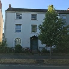
No 19 including railings and gate
1.1 km
No 1 with railings and gate
978 m
No 29 Picton Terrace, including garden wall, railings and gates
975 m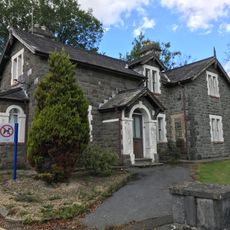
The Lodge at St David's Hospital
199 m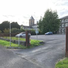
Gatepiers, gates and railings to S of St David's Hospital
154 m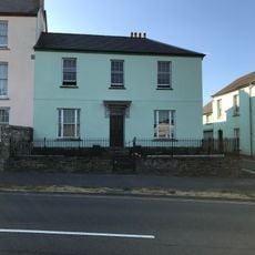
No 27 including railings and gates and rear garden wall
991 m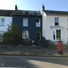
No 23 including railings and gate
1 km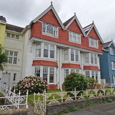
Penrhyn and railings
868 m
Radnor House and front railings
874 m
No 8 and front railings
901 m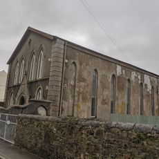
Union Street Welsh Independent Chapel
961 m
Yr Egin
471 mVous avez visité ce lieu ? Touchez les étoiles pour le noter et partager votre expérience ou vos photos avec la communauté ! Essayez maintenant ! Vous pouvez annuler à tout moment.
Trouvez des trésors cachés à chaque coin de rue !
Des petits cafés pittoresques aux points de vue planqués, fuyez la foule et dénichez les lieux qui vous ressemblent vraiment. Notre app vous facilite la vie : recherche vocale, filtres malins, itinéraires optimisés et bons plans partagés par des voyageurs du monde entier. Téléchargez vite pour vivre l'aventure en version mobile !

Une approche inédite de la découverte touristique❞
— Le Figaro
Tous les lieux qui valent la peine d'être explorés❞
— France Info
Une excursion sur mesure en quelques clics❞
— 20 Minutes