
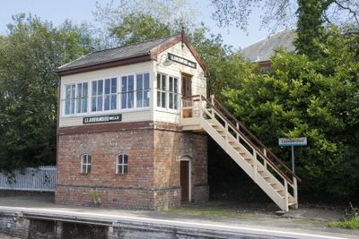
Llandrindod Wells Signal-Box, Grade II listed building in Powys. On the E (down) platform. To S of the main station building and overbridge, near the far end of the platform. This example was relocated in September 1989 from original site at the level crossing to N of the town
Emplacement : Llandrindod Wells
Altitude : 207,3 m
Coordonnées GPS : 52.24189,-3.37964
Dernière mise à jour : 4 mars 2025 à 08:58
County Hall, Llandrindod Wells
641 m
National Cycle Collection
419 m
The Albert Hall
331 m
Our Lady of Ransom and the Holy Souls Church
351 m
Llandrindod Wells Library
392 m
Brynarlais
200 m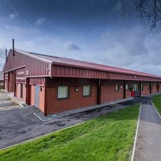
Powys Archives
658 m
Castell Collen
1.6 km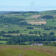
Little Hill
1.8 km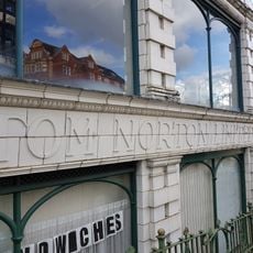
National Cycle Museum
408 m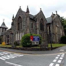
Holy Trinity Parish Church, Spa Road
285 m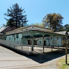
Pavilion at Spa Treatment Centre,Rock Park
481 m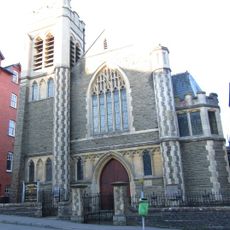
Ithon Road Church
322 m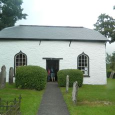
Caebach United Reformed Church
931 m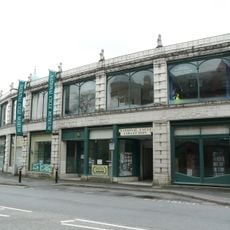
The Automobile Palace
419 m
Llandrindod Wells
1 km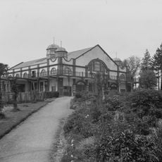
Grand Pavilion
336 m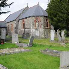
Church of St Llyr
1.8 km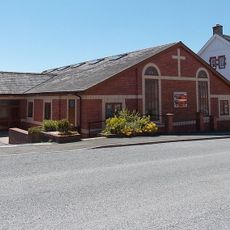
Tabernacle
95 m
Plaza Playhouse
141 m
Midland Bank, Middleton Street , Llandrindod Wells
187 m
Radnorshire Museum
226 m
Hotel Commodore,Spa Road
241 m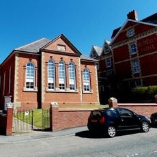
Llandrindod Friends' Meeting House
148 m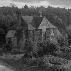
Mangalore,Spa Road East
465 m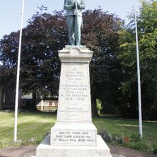
Llandrindod Wells War Memorial
220 m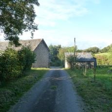
Barn at Cwm Farm
1.5 km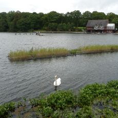
Llandrindod Lake
994 mAvis
Vous avez visité ce lieu ? Touchez les étoiles pour le noter et partager votre expérience ou vos photos avec la communauté ! Essayez maintenant ! Vous pouvez annuler à tout moment.
Trouvez des trésors cachés à chaque coin de rue !
Des petits cafés pittoresques aux points de vue planqués, fuyez la foule et dénichez les lieux qui vous ressemblent vraiment. Notre app vous facilite la vie : recherche vocale, filtres malins, itinéraires optimisés et bons plans partagés par des voyageurs du monde entier. Téléchargez vite pour vivre l'aventure en version mobile !

Une approche inédite de la découverte touristique❞
— Le Figaro
Tous les lieux qui valent la peine d'être explorés❞
— France Info
Une excursion sur mesure en quelques clics❞
— 20 Minutes