
Streatham United Reformed Church, church building in Lambeth, Greater London, UK
Emplacement : London Borough of Lambeth
Coordonnées GPS : 51.42424,-0.13098
Dernière mise à jour : 3 mars 2025 à 13:49
Tooting Commons
1.5 km
The Priory
1.7 km
Norwood Grove
1.3 km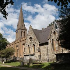
St Leonard's Church
592 m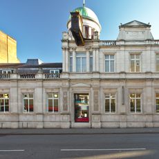
Streatham Library
838 m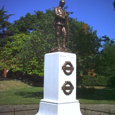
Streatham War Memorial
149 m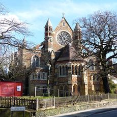
St Peter's Church
1.4 km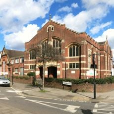
Streatham Methodist Church
512 m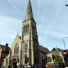
Roman Catholic Church of the English Martyrs
523 m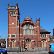
Mitcham Lane Baptist Church
1.1 km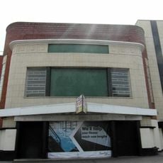
ABC Streatham
1.4 km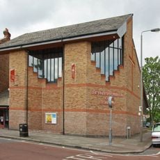
Parish Church of St Alban
820 m
Trinity Reformed Church
941 m
Mill Building On South Side Of Factory Square, Ten Yards To West Of Number 496 Streatham High Road
580 m
Waterworks Pumping Station
502 m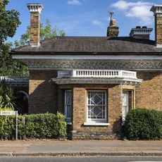
Furzedown Lodge
1.3 km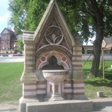
Dyce Drinking Fountain
453 m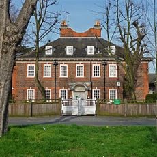
Yew Tree Lodge
1.1 km
496, Streatham High Road Sw6
553 m
No. 269 Leigham Court Road And Associated Patios, Paved Surfaces And Walls
1.4 km
Norwood Grove, Including Terrace Steps To Garden
1.3 km
Main Building Of Sunnyhill Junior Mixed And Infants School
929 m
Gates, Gates Piers And Flanking Walls At Main Entrance To St Michael's Convent
1.1 km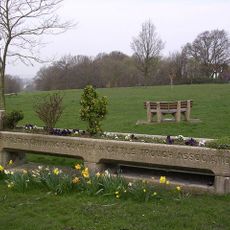
Trough With Drinking Fountain
809 m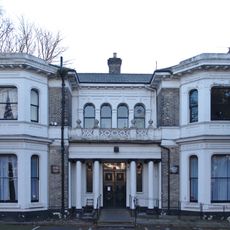
Leigham Lodge
1.3 km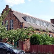
St Andrew's Church Hall
929 m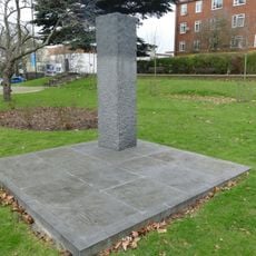
Streatham Civilians War Memorial
133 m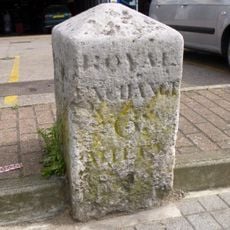
Milestone, Streatham High Road, in front of Kwik-fit garage
1 kmAvis
Vous avez visité ce lieu ? Touchez les étoiles pour le noter et partager votre expérience ou vos photos avec la communauté ! Essayez maintenant ! Vous pouvez annuler à tout moment.
Trouvez des trésors cachés à chaque coin de rue !
Des petits cafés pittoresques aux points de vue planqués, fuyez la foule et dénichez les lieux qui vous ressemblent vraiment. Notre app vous facilite la vie : recherche vocale, filtres malins, itinéraires optimisés et bons plans partagés par des voyageurs du monde entier. Téléchargez vite pour vivre l'aventure en version mobile !

Une approche inédite de la découverte touristique❞
— Le Figaro
Tous les lieux qui valent la peine d'être explorés❞
— France Info
Une excursion sur mesure en quelques clics❞
— 20 Minutes