
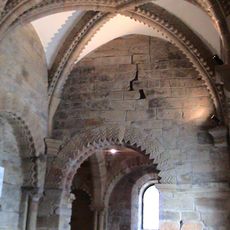
Former Prebyterian Chapel, chapel in Newcastle upon Tyne, Tyne and Wear, UK
Emplacement : Newcastle upon Tyne
Coordonnées GPS : 54.96822,-1.61272
Dernière mise à jour : 7 avril 2025 à 15:07
Château de Newcastle upon Tyne
158 m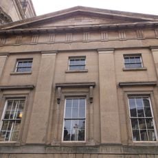
Literary and Philosophical Society of Newcastle upon Tyne
146 m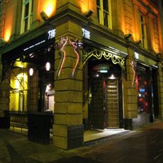
Tup Tup Palace
190 m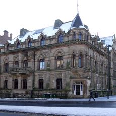
North of England Institute of Mining and Mechanical Engineers
161 m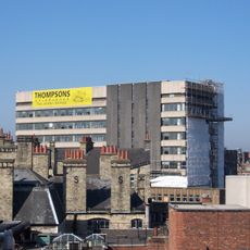
Westgate House, Newcastle upon Tyne
169 m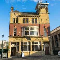
Bridge Hotel
164 m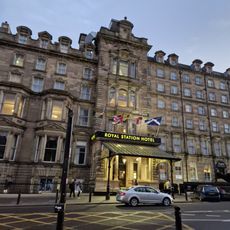
Royal Station Hotel
196 m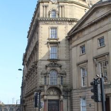
Bolbec Hall
140 m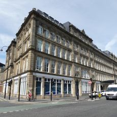
St Nicholas' Buildings
137 m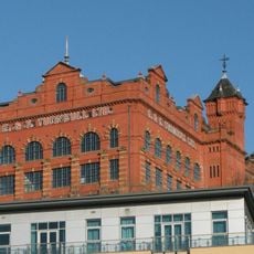
Turnbull's Warehouse
69 m
Irving House
125 m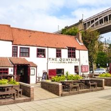
35, Close
193 m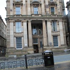
General Post Office And Area Balustrade
171 m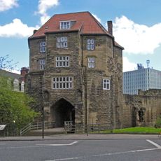
The Black Gate
172 m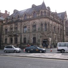
Neville Hall And Wood Memorial Hall
164 m
Town Wall North Of The Close And Breakneck Stairs
171 m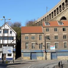
28 And 30, Close
164 m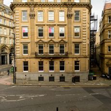
Sun Insurance Buildings
169 m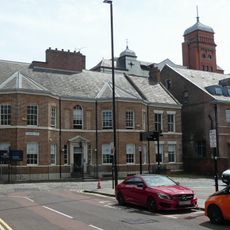
Clavering House
41 m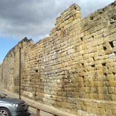
Newcastle upon Tyne town defences: section of curtain wall and town ditch between Forth Street and Hanover Street
98 m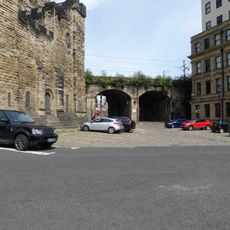
Castle Keep Viaduct
180 m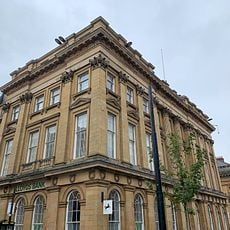
Lloyds Bank
180 m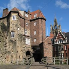
The Barbican Walls Between North Gate Of Castle And Black Gate
180 m
Former Hertz Rent A Car Building
115 m
Railway Arch South West Of Black Gate
137 m
32, Close
150 m
Heron Pit Prison, Drawbridge Pit And Other Under-buildings In Barbican
186 m
7, Collingwood Street
192 mAvis
Vous avez visité ce lieu ? Touchez les étoiles pour le noter et partager votre expérience ou vos photos avec la communauté ! Essayez maintenant ! Vous pouvez annuler à tout moment.
Trouvez des trésors cachés à chaque coin de rue !
Des petits cafés pittoresques aux points de vue planqués, fuyez la foule et dénichez les lieux qui vous ressemblent vraiment. Notre app vous facilite la vie : recherche vocale, filtres malins, itinéraires optimisés et bons plans partagés par des voyageurs du monde entier. Téléchargez vite pour vivre l'aventure en version mobile !

Une approche inédite de la découverte touristique❞
— Le Figaro
Tous les lieux qui valent la peine d'être explorés❞
— France Info
Une excursion sur mesure en quelques clics❞
— 20 Minutes