1, 3 And 5, 7, Lower Green Road, building in Tunbridge Wells, Kent, UK
Emplacement : Rusthall
Coordonnées GPS : 51.13516,0.23178
Dernière mise à jour : 20 novembre 2025 à 14:16
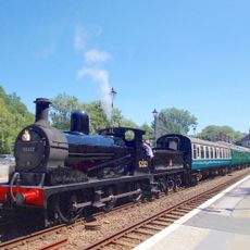
Spa Valley Railway
1.3 km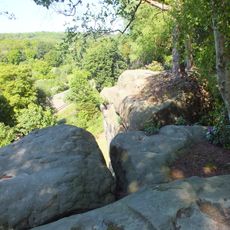
High Rocks
1.4 km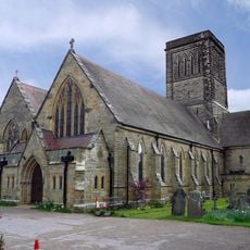
St Paul's Church
633 m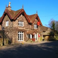
High Rocks Inn
1.5 km
Prehistoric rock shelters and a multivallate hillfort at High Rocks, 309m ESE of High Rocks Inn
1.5 km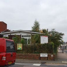
Rusthall Library
244 m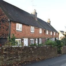
55-63, Lower Green Road
423 m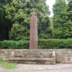
Wall And War Memorial In Front Of St Paul's Church
591 m
Coldbath Farmhouse
1 km
Entrance Building To High Rocks Inn
1.5 km
The Manor House
1.3 km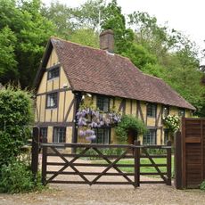
Hole Farmhouse
970 m
Rusthall
518 m
Little Oaklands Oaklands House Oaklands House And Little Oaklands Including Front Boundary Railings
1.4 km
Dornden Innerdown Middle House
529 m
Little Farnham
1.2 km
Farnham House
1 km
The Red Lion Public House
451 m
The Old Cottage
503 m
North Lodge
672 m
1 and 3, Langton Road
1.2 km
5-11, Langton Road
1.2 km
Rusthall Cottage
135 m
Home Farm
517 m
Drinking Fountain
97 m
High Rocks
1.4 km
1 and 2, Nevill Park
1.2 km
Tunbridge Wells Golf Club
851 mAvis
Vous avez visité ce lieu ? Touchez les étoiles pour le noter et partager votre expérience ou vos photos avec la communauté ! Essayez maintenant ! Vous pouvez annuler à tout moment.
Trouvez des trésors cachés à chaque coin de rue !
Des petits cafés pittoresques aux points de vue planqués, fuyez la foule et dénichez les lieux qui vous ressemblent vraiment. Notre app vous facilite la vie : recherche vocale, filtres malins, itinéraires optimisés et bons plans partagés par des voyageurs du monde entier. Téléchargez vite pour vivre l'aventure en version mobile !

Une approche inédite de la découverte touristique❞
— Le Figaro
Tous les lieux qui valent la peine d'être explorés❞
— France Info
Une excursion sur mesure en quelques clics❞
— 20 Minutes