
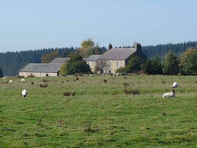
East Stonefields Farmhouse And Attached Farmbuildings And Walls
East Stonefields Farmhouse And Attached Farmbuildings And Walls, farmhouse in Simonburn, Northumberland, UK
Emplacement : Simonburn
Coordonnées GPS : 55.02904,-2.34967
Dernière mise à jour : 3 mars 2025 à 09:56
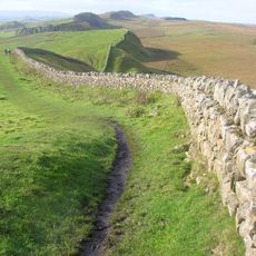
Mur d'Hadrien
3.7 km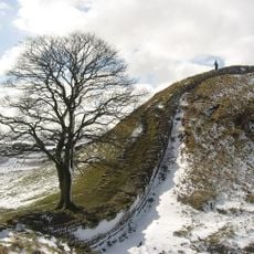
Sycamore Gap Tree
3.2 km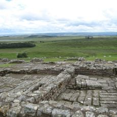
Fort romain de Housesteads
2.1 km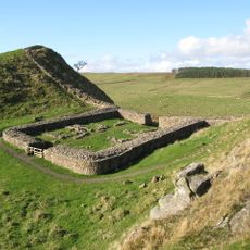
Milecastle 39
3.3 km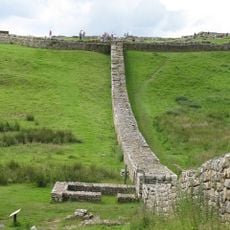
Knag Burn Gateway
2.1 km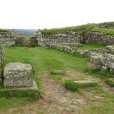
Milecastle 37
2 km
Milecastle 38
2.5 km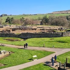
Vindolanda Museum
4.2 km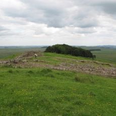
Milecastle 35
2.8 km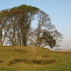
Milecastle 34
4 km
Housesteads Mithraeum
2.5 km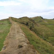
Housesteads fort, section of Wall and vallum between the field boundary west of milecastle 36 and the field boundary west of turret 37a in wall miles 36 and 37
2.3 km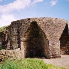
Crindledykes Lime Kiln
3.6 km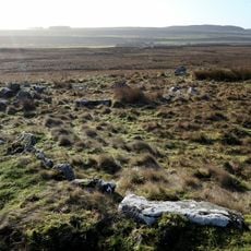
Ring cairn and shieling immediately west of Chatley Crags
2.7 km
Stone circle, defended settlement, Romano-British farmstead and field system, Roman camp and group of shielings immediately sout
1 km
Roman quarry inscription on Queen's Crags, 680m south east of East Hotbank
1.7 km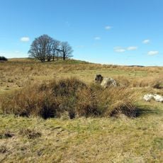
Stone circle, 380m east of King's Crags
2.5 km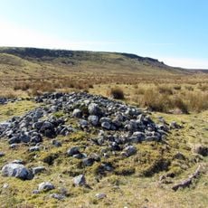
Round cairn, 120m south of King's Crags
2.2 km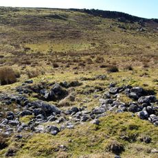
Round cairn, 150m east of Kingscrag Gate
1.9 km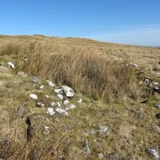
Round cairn, 120m ENE of Kingscrag Gate
1.8 km
Borne itinéraire anépigraphe romaine à Codley Gate (Vindolanda)
4.1 km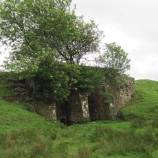
Lime Kiln 800 Metres West Of Town Shields Farmhouse
3.3 km
Bardon Mill
771 m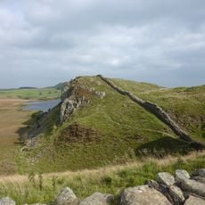
Hadrian's Wall and associated features between the field boundary west of turret 37a and the road to Steel Rigg car park in wall
3 km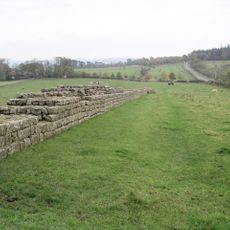
Hadrians Wall, Milecastles and Turrets
4.1 km
Milestone, E of Housesteads Roman Fort; at entrance to "Beggarbog"
2.8 km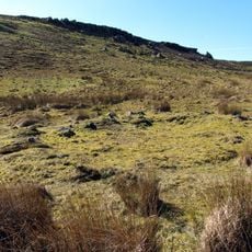
Round cairn, 150m ESE of Kingscrag Gate
1.9 km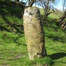
Roman milestone, E of Chesterholm Fort
4.1 kmAvis
Vous avez visité ce lieu ? Touchez les étoiles pour le noter et partager votre expérience ou vos photos avec la communauté ! Essayez maintenant ! Vous pouvez annuler à tout moment.
Trouvez des trésors cachés à chaque coin de rue !
Des petits cafés pittoresques aux points de vue planqués, fuyez la foule et dénichez les lieux qui vous ressemblent vraiment. Notre app vous facilite la vie : recherche vocale, filtres malins, itinéraires optimisés et bons plans partagés par des voyageurs du monde entier. Téléchargez vite pour vivre l'aventure en version mobile !

Une approche inédite de la découverte touristique❞
— Le Figaro
Tous les lieux qui valent la peine d'être explorés❞
— France Info
Une excursion sur mesure en quelques clics❞
— 20 Minutes