
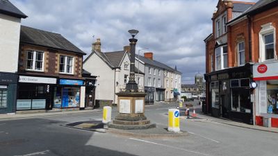
Boer War Memorial, Grade II listed building in Gwynedd. On the S side of Cambrian Square in the centre of its junction with Neptune Road
Emplacement : Tywyn
Altitude : 7,7 m
Coordonnées GPS : 52.58678,-4.08750
Dernière mise à jour : 12 mars 2025 à 16:53
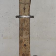
Cadfan Stone
201 m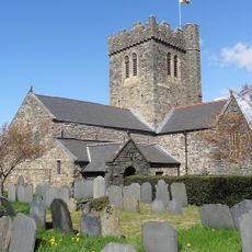
St Cadfan's Church
201 m
Corbett Arms Hotel
328 m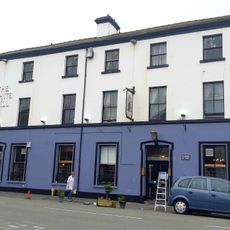
White Hall Hotel
224 m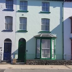
House, including forecourt railings and gate
96 m
Tywyn Baptist Church
207 m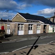
Tywyn Library
95 m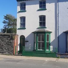
Carlton, including forecourt railings and gate
85 m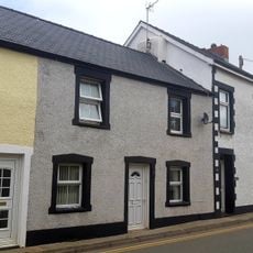
18,Maengwyn Street, Tywyn
296 m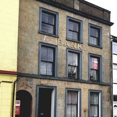
5,Corbet Square, Tywyn
186 m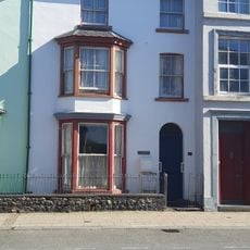
Ceinfan, including forecourt railings and gate
102 m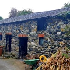
Outbuilding at rear of The Vicarage
188 m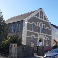
Ebenezer Chapel
309 m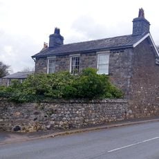
Brynhyfryd, including Brynhyfryd Cottage and attached stable and coach house
330 m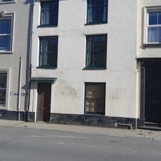
24,High Street, Tywyn
41 m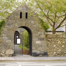
Lych gate at church of St Cadfan
171 m
Stanley House
237 m
Somerset House and house adjoining to its Left.
227 m
No.6 Red Lion Street, Tywyn
236 m
Cefn-y-wern, including forecourt railings and gate
90 m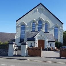
Bethel Chapel
142 m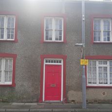
No.5 Maengwyn Street, Tywyn
284 m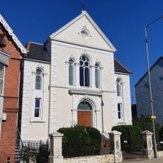
Capel Bethesda
134 m
Ebenezer chapel
270 m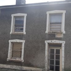
No.6 Maengwyn Street, Tywyn
289 m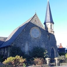
Bethany Chapel
77 m
34,High Street, Tywyn
108 m
No.7 Maengwyn Street, Tywyn
295 mVous avez visité ce lieu ? Touchez les étoiles pour le noter et partager votre expérience ou vos photos avec la communauté ! Essayez maintenant ! Vous pouvez annuler à tout moment.
Trouvez des trésors cachés à chaque coin de rue !
Des petits cafés pittoresques aux points de vue planqués, fuyez la foule et dénichez les lieux qui vous ressemblent vraiment. Notre app vous facilite la vie : recherche vocale, filtres malins, itinéraires optimisés et bons plans partagés par des voyageurs du monde entier. Téléchargez vite pour vivre l'aventure en version mobile !

Une approche inédite de la découverte touristique❞
— Le Figaro
Tous les lieux qui valent la peine d'être explorés❞
— France Info
Une excursion sur mesure en quelques clics❞
— 20 Minutes