
Drinking Fountain in Llansilin village, Grade II listed building in Llansilin. At a fork in the road at the west side of High Street in Llansilin village, opposite the church
Emplacement : Llansilin
Création : 1882
Altitude : 174,2 m
Coordonnées GPS : 52.84538,-3.17572
Dernière mise à jour : 23 septembre 2025 à 10:39

Sycharth Castle
2.3 km
Glas Hirfryn
5.4 km
St Silin's Church
54 m
St Cedwyn's Church
4.6 km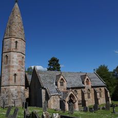
St Michael the Archangel, Llanyblodwel
6.1 km
Gyrn Moelfre
2.7 km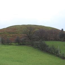
Llwyn Bryn Dinas
5.1 km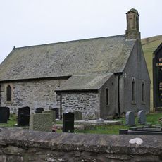
Church of St. Cadwaladr, Llangadwaladr
3.5 km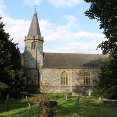
St Garmon's Church
6.9 km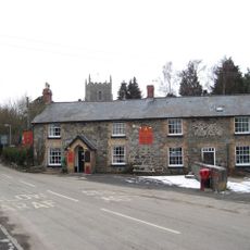
Wynnstay Inn
73 m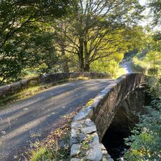
Pont Ricket
6.4 km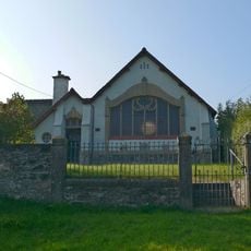
Capel Hermon
5.7 km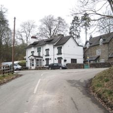
The Green Inn
4.3 km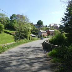
Bridge at NGR SJ24852445
5.4 km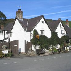
The West Arms Hotel
7 km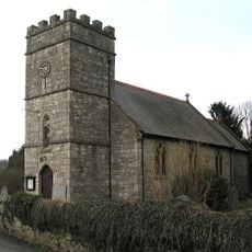
Christ Church
4.1 km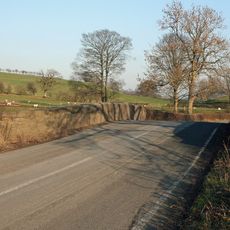
Pont Maesmochnant
7.3 km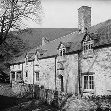
Pen y bryn
7.1 km
Offa's Dyke: section one mile 1000yds (2520m) long, N of Llanforda Mill
4.7 km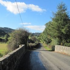
Pont Llangedwyn
4.8 km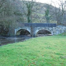
Pont y Glascoed
771 m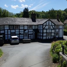
Horse Shoe Inn And Attached Barn
6.3 km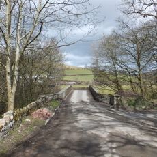
Pont y Felin
6.2 km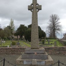
Trefonen War Memorial
5.3 km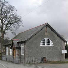
Tabernacle Methodist Chapel
7 km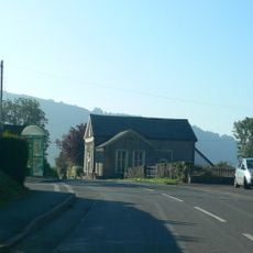
Bethesda Welsh Independent Chapel
264 m
Offa's Dyke: section 300yds (270m) long, N of Pentre-Shannel
4.7 km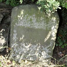
Milestone, The Chalet, Llawnt
4.7 kmAvis
Vous avez visité ce lieu ? Touchez les étoiles pour le noter et partager votre expérience ou vos photos avec la communauté ! Essayez maintenant ! Vous pouvez annuler à tout moment.
Trouvez des trésors cachés à chaque coin de rue !
Des petits cafés pittoresques aux points de vue planqués, fuyez la foule et dénichez les lieux qui vous ressemblent vraiment. Notre app vous facilite la vie : recherche vocale, filtres malins, itinéraires optimisés et bons plans partagés par des voyageurs du monde entier. Téléchargez vite pour vivre l'aventure en version mobile !

Une approche inédite de la découverte touristique❞
— Le Figaro
Tous les lieux qui valent la peine d'être explorés❞
— France Info
Une excursion sur mesure en quelques clics❞
— 20 Minutes