
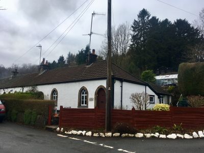
1 The Row, Grade II listed building in Caerphilly County Borough. On the N side of the main road through Draethen. No 1 is at the R (E) end of the row
Emplacement : Rudry
Altitude : 51,2 m
Coordonnées GPS : 51.57999,-3.12530
Dernière mise à jour : 9 mars 2025 à 16:56
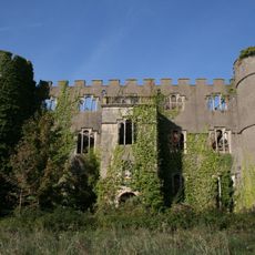
Château de Ruperra
1.1 km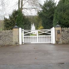
Machen House
913 m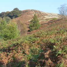
Mynydd Machen
2.6 km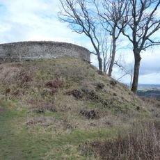
Craig Ruperra Motte
723 m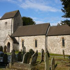
Church of St James, Rudry
2.9 km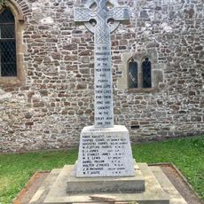
War Memorial in churchyard of St James, Rudry
2.9 km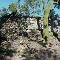
Ruperra hill fort
732 m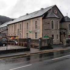
Bethany English Baptist Church and attached Sunday School
3.4 km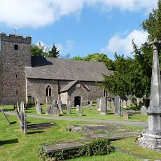
St Michael's Church
967 m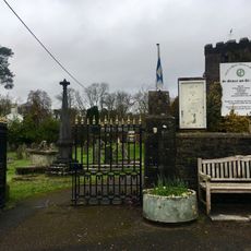
Churchyard gates and piers to the Church of St Michael
935 m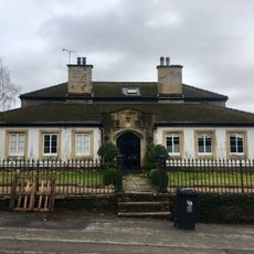
Parkfield House
946 m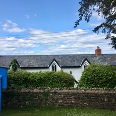
Old Church School House
2.9 km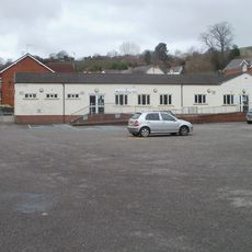
Machen Library
2.1 km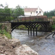
Iron Bridge over River Rhymney
885 m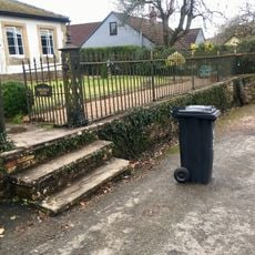
Railings and gate to Parkfield House
939 m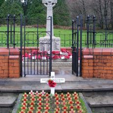
War Memorial within Railed Enclosure
2 km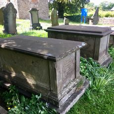
Group of three Moses family chest tombs in churchyard of St James, Rudry
2.9 km
Gatepiers, gate and garden walls to Machen House
812 m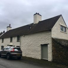
The Old Post
826 m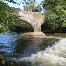
Cefn Mably Bridge
3.1 km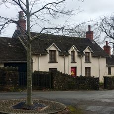
Corner House
874 m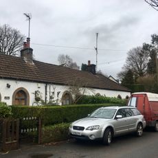
2 The Row
9 m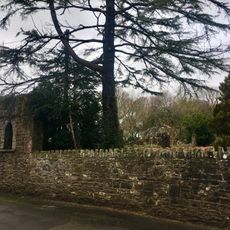
Garden walls to S, W and N of Nantygarth
791 m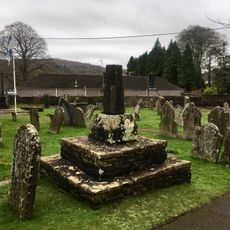
Churchyard cross at the Church of St Michael
951 m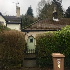
4 The Row
28 m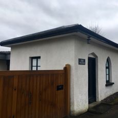
The Toll House
744 m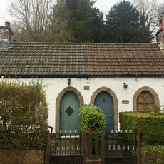
3 The Row
18 m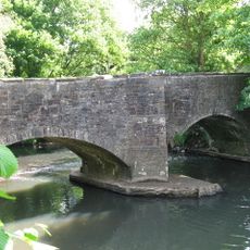
Michaelstone Bridge
2.9 kmAvis
Vous avez visité ce lieu ? Touchez les étoiles pour le noter et partager votre expérience ou vos photos avec la communauté ! Essayez maintenant ! Vous pouvez annuler à tout moment.
Trouvez des trésors cachés à chaque coin de rue !
Des petits cafés pittoresques aux points de vue planqués, fuyez la foule et dénichez les lieux qui vous ressemblent vraiment. Notre app vous facilite la vie : recherche vocale, filtres malins, itinéraires optimisés et bons plans partagés par des voyageurs du monde entier. Téléchargez vite pour vivre l'aventure en version mobile !

Une approche inédite de la découverte touristique❞
— Le Figaro
Tous les lieux qui valent la peine d'être explorés❞
— France Info
Une excursion sur mesure en quelques clics❞
— 20 Minutes