
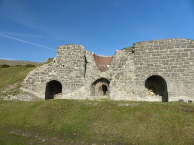
Lime Kilns at Bryn Mawr, Grade II listed building in Brynford. Located off a track running N from the lane which links Pentre Halkyn and Babell. On the E side of the track and in a raised position, opposite Waen-Brodlas Farm
Emplacement : Brynford
Altitude : 262,9 m
Coordonnées GPS : 53.24931,-3.22151
Dernière mise à jour : 3 novembre 2025 à 19:01
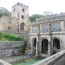
Source Sainte-Winefride
3.1 km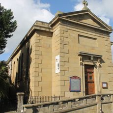
St Winefride's Church, Holywell
2.9 km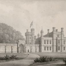
Halkyn Castle
3.3 km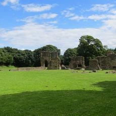
Greenfield Valley Heritage Park
3.8 km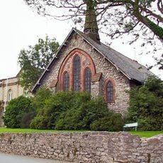
Holywell Workhouse Chapel
1.9 km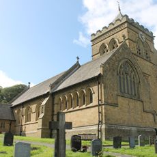
Church of St Mary the Virgin, Halkyn
3.1 km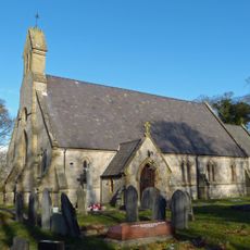
St Michael's Church, Brynford
1.5 km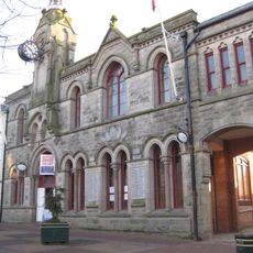
Former Town Hall
2.7 km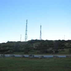
Mynydd Helygain
1.5 km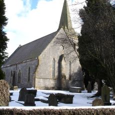
Church Of St Michael And All Angels
4 km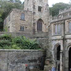
Parish Church of St James
3.1 km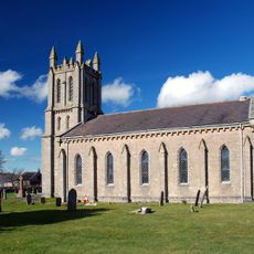
Church of St Mary
3.7 km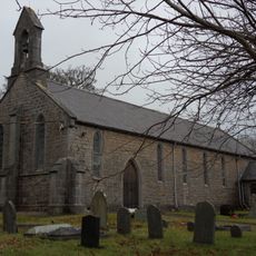
Christ Church
2.3 km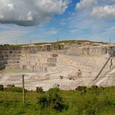
Pant-y-pwll-dwr quarry
1.3 km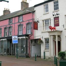
Red Lion
2.7 km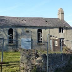
Ebenezer Chapel
1.1 km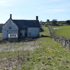
Henblas
726 m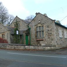
Old Church School
3 km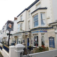
Queen Victoria PH
2.6 km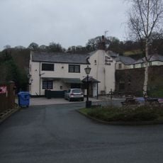
Royal Oak P.H.Greenfield Road,Greenfield
3.4 km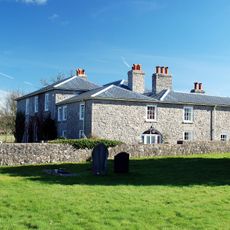
The Old Rectory
3.7 km
Bethel Welsh Baptist Church
2.7 km
Archway to the Way of the Cross at Pantasaph Friary
3.9 km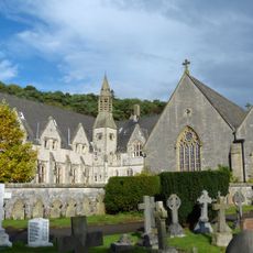
Franciscan Friary
3.8 km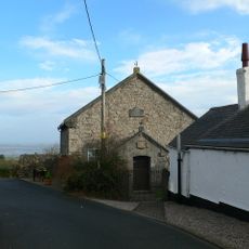
Salem Welsh Methodist Chapel
1.8 km
The Roman Catholic Church Of St David
3.8 km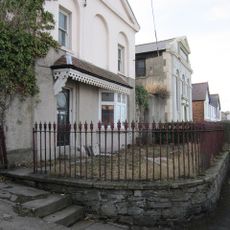
No.12 (Old Bank House) Coleshill Street
2.6 km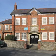
No.9 Halkyn Street
2.5 kmAvis
Vous avez visité ce lieu ? Touchez les étoiles pour le noter et partager votre expérience ou vos photos avec la communauté ! Essayez maintenant ! Vous pouvez annuler à tout moment.
Trouvez des trésors cachés à chaque coin de rue !
Des petits cafés pittoresques aux points de vue planqués, fuyez la foule et dénichez les lieux qui vous ressemblent vraiment. Notre app vous facilite la vie : recherche vocale, filtres malins, itinéraires optimisés et bons plans partagés par des voyageurs du monde entier. Téléchargez vite pour vivre l'aventure en version mobile !

Une approche inédite de la découverte touristique❞
— Le Figaro
Tous les lieux qui valent la peine d'être explorés❞
— France Info
Une excursion sur mesure en quelques clics❞
— 20 Minutes