
Railway viaduct SW of Aberdulas Farm, Grade II listed building in Powys. Spanning the River Irfon 0.8km SW of Garth village
Emplacement : Llangammarch
Altitude : 160,3 m
Coordonnées GPS : 52.12764,-3.54064
Dernière mise à jour : 9 mars 2025 à 04:23

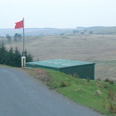
Sennybridge Training Area
8.5 km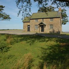
Mynydd Epynt
7 km
Llanllywenfel Parish Church
1.3 km
Church of St Afan
7.3 km
Eglwys Oen Duw
4.7 km
Llethr Melyn
9.3 km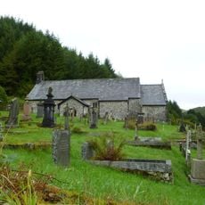
St David's Church
8.3 km
Red Lion Inn
7.3 km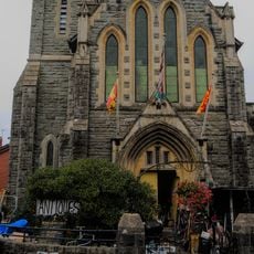
West Street Memorial English Baptist Church
9.5 km
Pantycelyn Baptist Chapel
7.2 km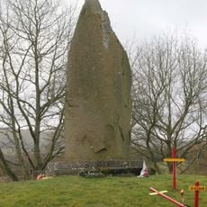
Memorial to Llywelyn ap Gruffudd, Prince of Wales
6 km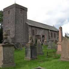
St Cadmarch's Church
1.9 km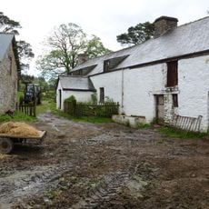
Cefn Brith
4.6 km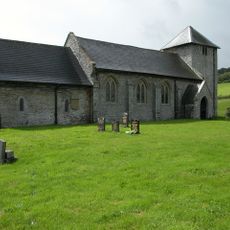
St David's Church
8.8 km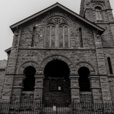
Horeb Congregational Chapel
9.5 km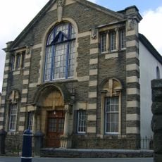
Bethesda Chapel
7.1 km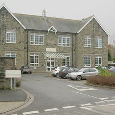
Builth Wells Library
9.5 km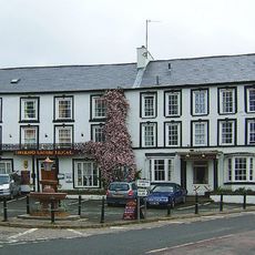
Neuadd Arms Hotel
7 km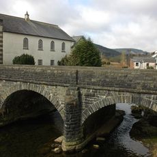
Pont Rhyd y Fferau
7.1 km
Llanwrtyd Library
7.3 km
Garth House
1 km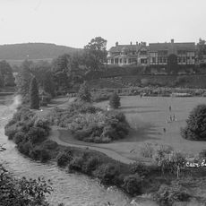
Caer Beris
8.5 km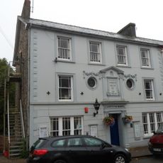
Llanwrtyd War Memorial Institute
7 km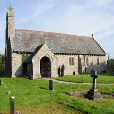
St Afan's Church, Llanafan Fechan
3.1 km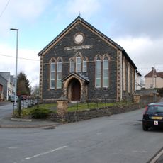
Llanwrtyd Wells and District Heritage Centre
6.9 km
Llanwrtyd Independent Chapel
6.9 km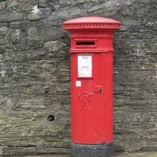
Pillar Box,West Street
9.6 km
Cribarth
3.6 kmAvis
Vous avez visité ce lieu ? Touchez les étoiles pour le noter et partager votre expérience ou vos photos avec la communauté ! Essayez maintenant ! Vous pouvez annuler à tout moment.
Trouvez des trésors cachés à chaque coin de rue !
Des petits cafés pittoresques aux points de vue planqués, fuyez la foule et dénichez les lieux qui vous ressemblent vraiment. Notre app vous facilite la vie : recherche vocale, filtres malins, itinéraires optimisés et bons plans partagés par des voyageurs du monde entier. Téléchargez vite pour vivre l'aventure en version mobile !

Une approche inédite de la découverte touristique❞
— Le Figaro
Tous les lieux qui valent la peine d'être explorés❞
— France Info
Une excursion sur mesure en quelques clics❞
— 20 Minutes