
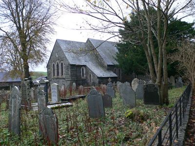
Parish Church, grade II listed building in Pentrefoelas, Conwy County Borough, the church stands on the E side of the road at the top of the rise from its junction with the A5 Holyhead Road
Emplacement : Pentrefoelas
Altitude : 209,3 m
Coordonnées GPS : 53.04957,-3.68257
Dernière mise à jour : 14 mars 2025 à 23:40
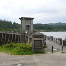
Alwen Reservoir
8 km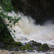
Conwy Falls
6.7 km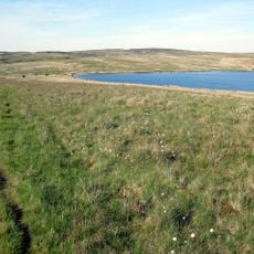
Llyn Aled
7.1 km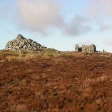
Mwdwl-eithin
5 km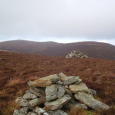
Carnedd y Filiast
7 km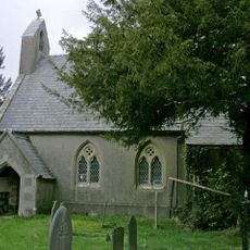
St Garmon's Church
6.9 km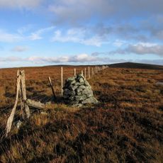
Waun Garnedd-y-filiast
6.3 km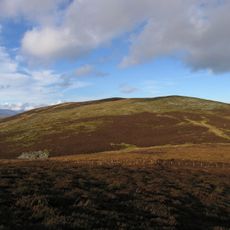
Carnedd Llechwedd-llyfn
7.3 km
Conwy Falls
6.5 km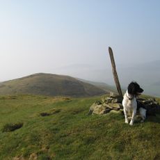
Moel y Gydros
7.4 km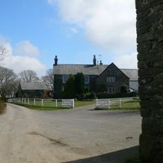
Plas Iolyn
1.6 km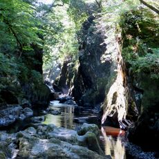
Fairy Glen
7 km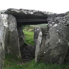
Capel Garmon Burial Chamber
6.1 km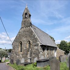
St Tudclud's Church
8.4 km
Moel Rhiwlug
3.9 km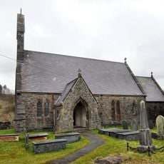
Church of St. John
4 km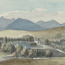
Voelas
2.3 km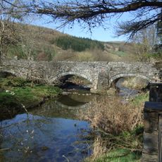
Pont Llan
8.3 km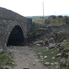
Pont Tai'n-rhos
8.3 km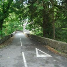
Pont Rhyd-y-Dyfrgi
2.7 km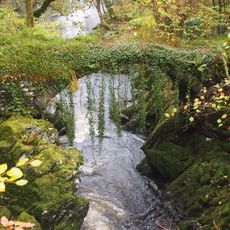
Roman Bridge, Penmachno
6.8 km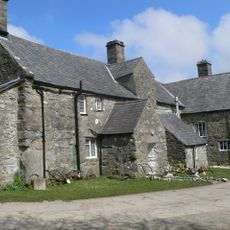
Gilar
2 km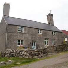
Llwynau Farmhouse
6.2 km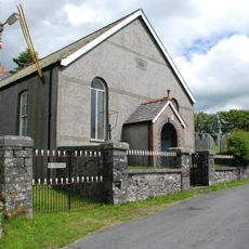
Siloam Welsh Independent Chapel
4.2 km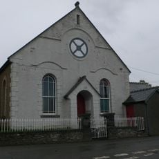
Capel Seion
6.8 km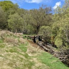
Pont Hafnant Packhorse Bridge
7.9 km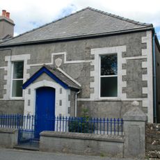
Nebo Welsh Independent Chapel
5.8 km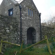
Gatehouse At Gilar, With Attached Courtyard Walls
2 kmVous avez visité ce lieu ? Touchez les étoiles pour le noter et partager votre expérience ou vos photos avec la communauté ! Essayez maintenant ! Vous pouvez annuler à tout moment.
Trouvez des trésors cachés à chaque coin de rue !
Des petits cafés pittoresques aux points de vue planqués, fuyez la foule et dénichez les lieux qui vous ressemblent vraiment. Notre app vous facilite la vie : recherche vocale, filtres malins, itinéraires optimisés et bons plans partagés par des voyageurs du monde entier. Téléchargez vite pour vivre l'aventure en version mobile !

Une approche inédite de la découverte touristique❞
— Le Figaro
Tous les lieux qui valent la peine d'être explorés❞
— France Info
Une excursion sur mesure en quelques clics❞
— 20 Minutes