
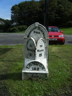
Mile marker on A48, Pyle to Margam Road, Grade II listed building in Bridgend County Borough. Set at the back of the pavement, 160m S of the railway overbridge
Emplacement : Pyle
Altitude : 36 m
Coordonnées GPS : 51.53219,-3.69389
Dernière mise à jour : 12 mars 2025 à 12:25
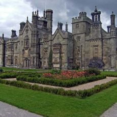
Château de Margam
4 km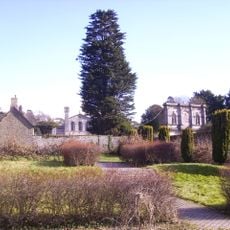
Margam Country Park
4.1 km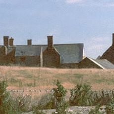
Sker House
4.2 km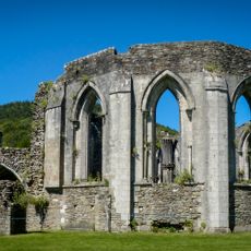
Abbaye de Margam
4.2 km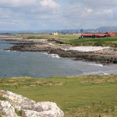
Royal Porthcawl Golf Club
5 km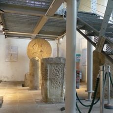
Margam Stones Museum
4.3 km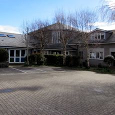
St David's Church
4.7 km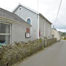
Nottage General Baptist & Unitarian Church
4.7 km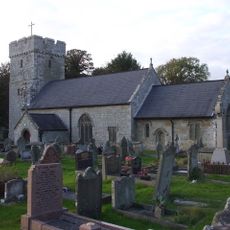
St James's Church
192 m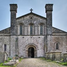
St Mary's Abbey Church
4.2 km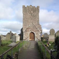
St Mary Magdalene's Church
2.1 km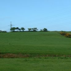
Pen y Castell, Kenfig Hill
1.6 km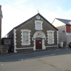
The Talbot Institute
1.1 km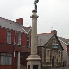
Kenfig Hill War Memorial
1.1 km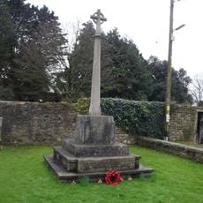
War Memorial
4.3 km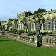
Margam Orangery
4.2 km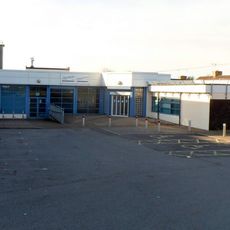
Pyle Life Centre
440 m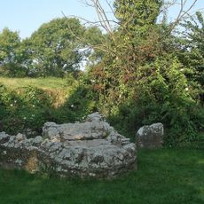
St David's Well aka Ffynnon Dewi
4.3 km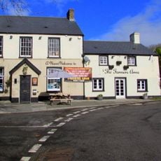
The Farmers' Arms
4.7 km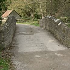
Bridge near Llanmihangel Mill
788 m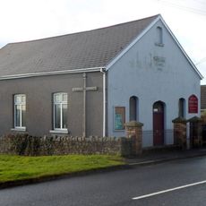
Wesleyan Methodist Chapel
2.2 km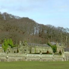
Service Buildings Including Courtyard Walls At Margam Castle
4 km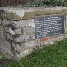
Ffynnon Fawr
4.8 km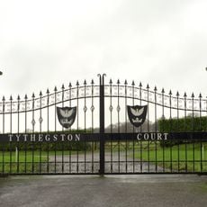
Tythegston Court
5 km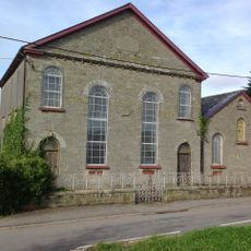
Pyle Calvinistic Methodist Chapel, Capel Y Pîl, And Schoolroom, With Forecourt Railings.
1.3 km
The Rest
4.9 km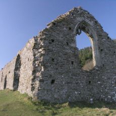
Hen Eglwys
4.4 km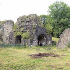
Cefn Cribwr Ironworks, The Furnace And Charging House
2.6 kmAvis
Vous avez visité ce lieu ? Touchez les étoiles pour le noter et partager votre expérience ou vos photos avec la communauté ! Essayez maintenant ! Vous pouvez annuler à tout moment.
Trouvez des trésors cachés à chaque coin de rue !
Des petits cafés pittoresques aux points de vue planqués, fuyez la foule et dénichez les lieux qui vous ressemblent vraiment. Notre app vous facilite la vie : recherche vocale, filtres malins, itinéraires optimisés et bons plans partagés par des voyageurs du monde entier. Téléchargez vite pour vivre l'aventure en version mobile !

Une approche inédite de la découverte touristique❞
— Le Figaro
Tous les lieux qui valent la peine d'être explorés❞
— France Info
Une excursion sur mesure en quelques clics❞
— 20 Minutes