
Gateway to Churchyard, A484, Grade II listed building in Cenarth
Emplacement : Cenarth
Altitude : 26,1 m
Coordonnées GPS : 52.04477,-4.52395
Dernière mise à jour : 2 mars 2025 à 22:08

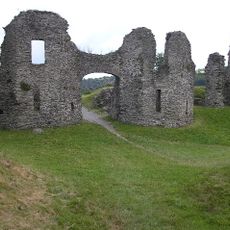
Château de Newcastle Emlyn
4.2 km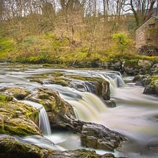
Cenarth Falls
97 m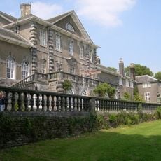
Ffynone
4 km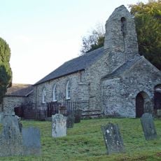
Manordeifi Old Church
4.5 km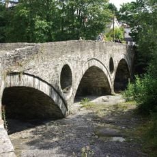
Cenarth Bridge
125 m
Town Hall & Market Buildings, Market Square
4 km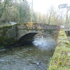
Pont Cych
5.4 km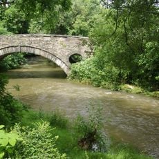
Pont Treseli
2.4 km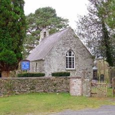
Church of St Mary
2.8 km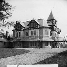
Cilgwyn Hall
4.6 km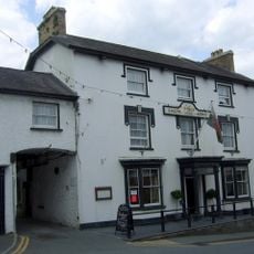
The Emlyn Arms Hotel, Including attached Ranges Each Side & Rear Outbuildings, Bridge Street/Heol Y B
3.9 km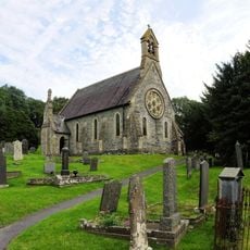
St Llawddog's Church
27 m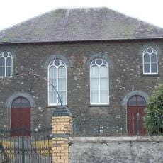
Capel Iwan Independent Chapel
5.6 km
Ebeneser Independent Chapel
4.1 km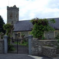
Church of The Holy Trinity, Including Churchyard Monuments & Boundary Walls, Church Street
3.8 km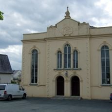
Bethel Chapel
3.9 km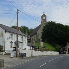
The Three Horseshoes Inn, A484 (Ne Side)
27 m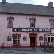
The Bunch Of Grapes Inn, bridge Street/heol Y Bont
3.9 km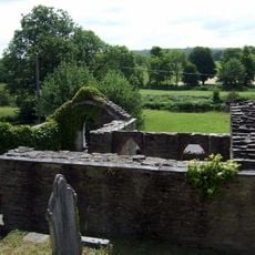
Church of Holy Cross (site)
5.6 km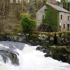
Cenarth Mill
81 m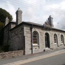
Newcastle Emlyn Library
3.9 km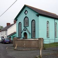
Tabernacl Welsh Independent Chapel
5.7 km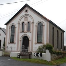
Bryngwyn Welsh Independent Chapel
4.6 km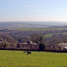
Pentre Mansion
3.9 km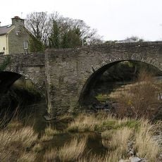
The Bridge, bridge Street/heol Y Bont
3.9 km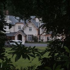
Lancych
3.3 km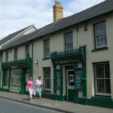
Angel House (J.David Lewis Premises) Sycamore Street
3.9 km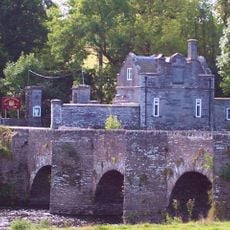
Llechryd Bridge , Llechryd
5.6 kmAvis
Vous avez visité ce lieu ? Touchez les étoiles pour le noter et partager votre expérience ou vos photos avec la communauté ! Essayez maintenant ! Vous pouvez annuler à tout moment.
Trouvez des trésors cachés à chaque coin de rue !
Des petits cafés pittoresques aux points de vue planqués, fuyez la foule et dénichez les lieux qui vous ressemblent vraiment. Notre app vous facilite la vie : recherche vocale, filtres malins, itinéraires optimisés et bons plans partagés par des voyageurs du monde entier. Téléchargez vite pour vivre l'aventure en version mobile !

Une approche inédite de la découverte touristique❞
— Le Figaro
Tous les lieux qui valent la peine d'être explorés❞
— France Info
Une excursion sur mesure en quelques clics❞
— 20 Minutes