
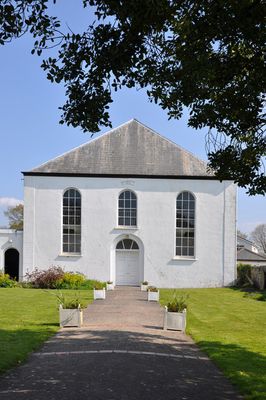
United Free Church, grade II listed building in Vale of Glamorgan. To rear of No 21 Westgate, in own precinct
Emplacement : Cowbridge with Llanblethian
Altitude : 29 m
Coordonnées GPS : 51.46361,-3.45310
Dernière mise à jour : 4 mars 2025 à 13:09
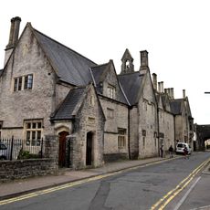
Lycée Cowbridge
280 m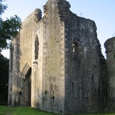
St Quintins Castle
717 m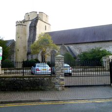
Church of the Holy Cross
357 m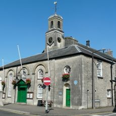
Cowbridge Town Hall
460 m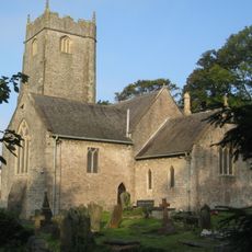
Church Of St John The Baptist
1 km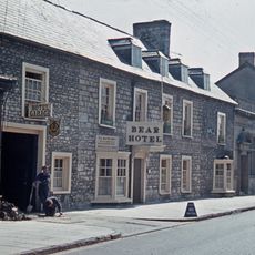
Bear Inn
266 m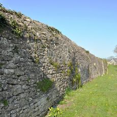
Cowbridge town wall
263 m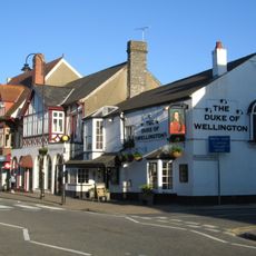
The Duke Of Wellington
326 m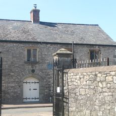
6 &7, Church Street, Cowbridge
307 m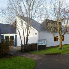
Cowbridge Library
224 m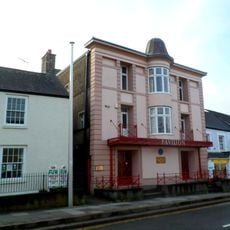
Pavilion Cinema
640 m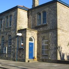
Police Station
86 m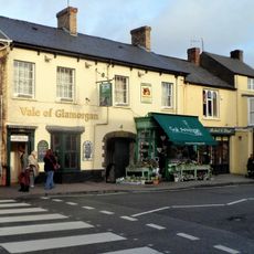
Vale of Glamorgan Public House
323 m
Lloyds Bank
387 m
Farthings Old Wine House
282 m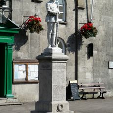
Cowbridge War Memorial
460 m
National Westminster Bank
129 m
43, High Street, Cowbridge
351 m
Nos.35, 35a & 35b High Street
377 m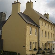
Woodstock House
170 m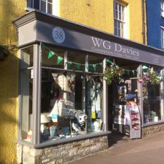
Woodcocks and W G Davies
373 m
Great House With Forecourt Walls & Gatepiers
956 m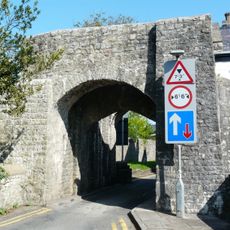
South Gate
323 m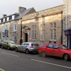
HSBC (Midland Bank)
280 m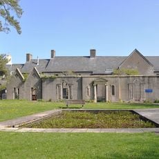
The Old Hall
203 m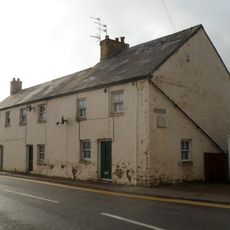
1-3, The Butts, Cowbridge
148 m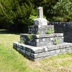
Roadside Cross
1.1 km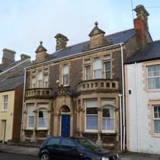
49, Eastgate, Cowbridge
766 mVous avez visité ce lieu ? Touchez les étoiles pour le noter et partager votre expérience ou vos photos avec la communauté ! Essayez maintenant ! Vous pouvez annuler à tout moment.
Trouvez des trésors cachés à chaque coin de rue !
Des petits cafés pittoresques aux points de vue planqués, fuyez la foule et dénichez les lieux qui vous ressemblent vraiment. Notre app vous facilite la vie : recherche vocale, filtres malins, itinéraires optimisés et bons plans partagés par des voyageurs du monde entier. Téléchargez vite pour vivre l'aventure en version mobile !

Une approche inédite de la découverte touristique❞
— Le Figaro
Tous les lieux qui valent la peine d'être explorés❞
— France Info
Une excursion sur mesure en quelques clics❞
— 20 Minutes