
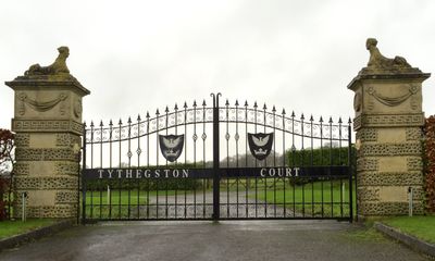
Gate piers to Tythegston Court, Grade II listed building in Merthyr Mawr. On the SW side of the house, set back from the road behind a high wall
Emplacement : Merthyr Mawr
Altitude : 63 m
Coordonnées GPS : 51.49727,-3.64829
Dernière mise à jour : 3 mars 2025 à 00:22
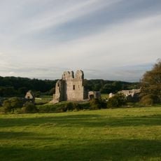
Château d'Ogmore
3.2 km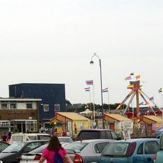
Coney Beach Pleasure Park
3.9 km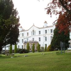
Court Colman Manor
4 km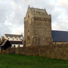
St John the Baptist Church
2.5 km
St David's Church
4 km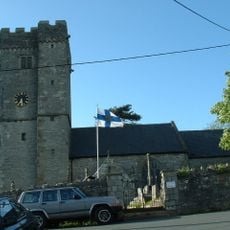
St David's Church
2.1 km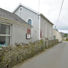
Nottage General Baptist & Unitarian Church
3.9 km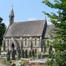
Church Of St Teilo
2.9 km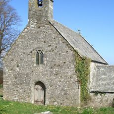
Church of St Tudwg
114 m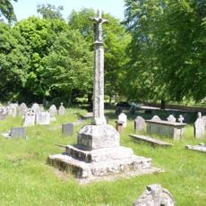
Preaching Cross in churchyard of St Teilo
3 km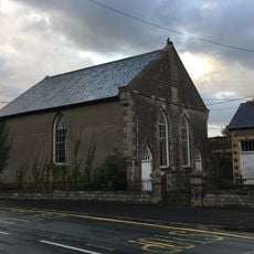
Horeb Welsh Calvinistic Methodist Chapel
2.3 km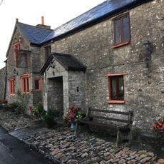
The Laleston Inn
2.1 km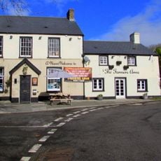
The Farmers' Arms
3.8 km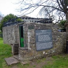
St John's Well aka Sandford's or de Sanford's Well
2.5 km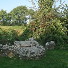
St David's Well aka Ffynnon Dewi
3.6 km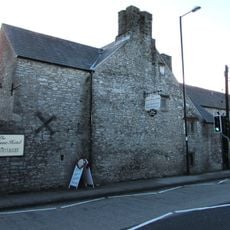
Tŷ Mawr Aka The Great House
2 km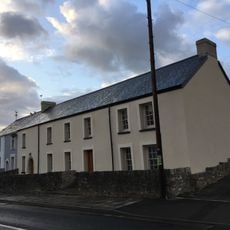
The Oystercatcher Public House
2.2 km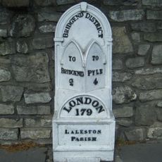
Milepost
2 km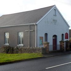
Wesleyan Methodist Chapel
3.9 km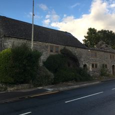
Village Farm House
2.2 km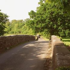
New Bridge
3.6 km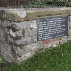
Ffynnon Fawr
3.5 km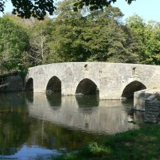
New Inn Bridge
3.5 km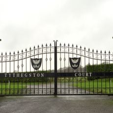
Tythegston Court
48 m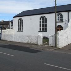
Hope Free Congregational Chapel
2.7 km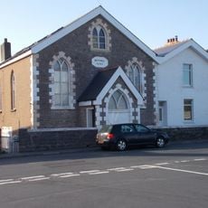
Bethel English Calvinistic Methodist Chapel
3.9 km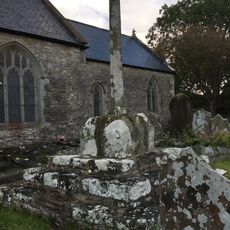
Churchyard Cross in St David's churchyard
2.1 km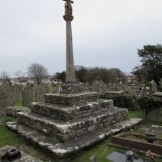
Churchyard Cross
2.5 kmVous avez visité ce lieu ? Touchez les étoiles pour le noter et partager votre expérience ou vos photos avec la communauté ! Essayez maintenant ! Vous pouvez annuler à tout moment.
Trouvez des trésors cachés à chaque coin de rue !
Des petits cafés pittoresques aux points de vue planqués, fuyez la foule et dénichez les lieux qui vous ressemblent vraiment. Notre app vous facilite la vie : recherche vocale, filtres malins, itinéraires optimisés et bons plans partagés par des voyageurs du monde entier. Téléchargez vite pour vivre l'aventure en version mobile !

Une approche inédite de la découverte touristique❞
— Le Figaro
Tous les lieux qui valent la peine d'être explorés❞
— France Info
Une excursion sur mesure en quelques clics❞
— 20 Minutes