
Merthyr Mawr, village britannique
Emplacement : Bridgend County Borough
Coordonnées GPS : 51.48556,-3.61028
Dernière mise à jour : 9 avril 2025 à 00:51
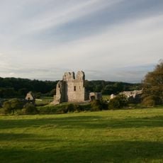
Château d'Ogmore
558 m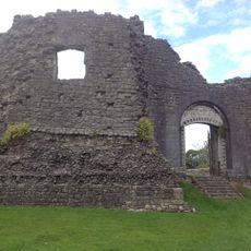
Château de Newcastle
3.2 km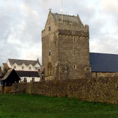
St John the Baptist Church
4.6 km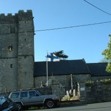
St David's Church
2.5 km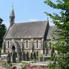
Church Of St Teilo
6 m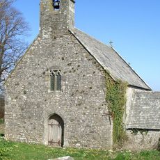
Church of St Tudwg
2.8 km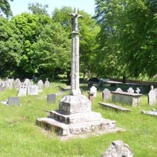
Preaching Cross in churchyard of St Teilo
24 m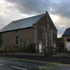
Horeb Welsh Calvinistic Methodist Chapel
2.4 km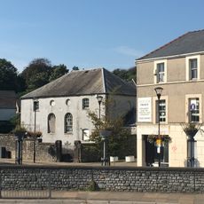
Elim Pentecostal Church
3.1 km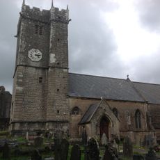
St Illtyd's Church
3.2 km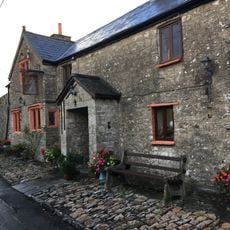
The Laleston Inn
2.5 km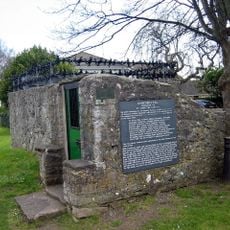
St John's Well aka Sandford's or de Sanford's Well
4.6 km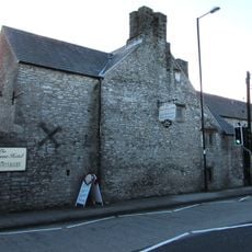
Tŷ Mawr Aka The Great House
2.4 km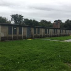
Hut 9 at former Prisoner of War Camp (198) and Special Camp XI, Island Farm
2 km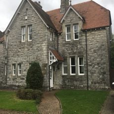
No.13 Merthyr Mawr Road, Former Preswylfa Children's Home
2.2 km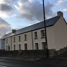
The Oystercatcher Public House
2.4 km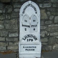
Milepost
2.4 km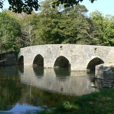
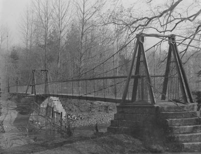
New Inn Bridge
1.2 km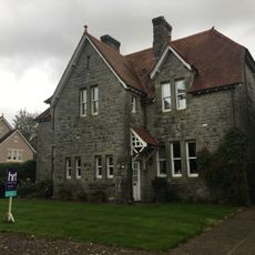
No.2 Merthyr Mawr Road, Former Preswylfa Children's Home
2.3 km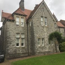
No.12 Merthyr Mawr Road, Former Preswylfa Children's Home
2.2 km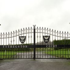
Tythegston Court
3 km
Newcastle House
3.1 km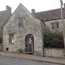
St John's Hospice
3.1 km
Village Farm House
2.4 km
Gate piers to Tythegston Court
2.9 km
New Bridge
974 m
Coach House at Glanogwr, Glanogwr Road (Nw End)
2.4 km
Administrative Block at Former Preswylfa Children's Home, Merthyr Mawr Road
2.3 kmAvis
Vous avez visité ce lieu ? Touchez les étoiles pour le noter et partager votre expérience ou vos photos avec la communauté ! Essayez maintenant ! Vous pouvez annuler à tout moment.
Trouvez des trésors cachés à chaque coin de rue !
Des petits cafés pittoresques aux points de vue planqués, fuyez la foule et dénichez les lieux qui vous ressemblent vraiment. Notre app vous facilite la vie : recherche vocale, filtres malins, itinéraires optimisés et bons plans partagés par des voyageurs du monde entier. Téléchargez vite pour vivre l'aventure en version mobile !

Une approche inédite de la découverte touristique❞
— Le Figaro
Tous les lieux qui valent la peine d'être explorés❞
— France Info
Une excursion sur mesure en quelques clics❞
— 20 Minutes