
Former outbuilding of Plas Ynys Tywyn, Grade II listed building in Gwynedd. Set back from the street and attached to the Co-op supermarket
Emplacement : Porthmadog
Altitude : 4,8 m
Coordonnées GPS : 52.92568,-4.12819
Dernière mise à jour : 9 mars 2025 à 06:40

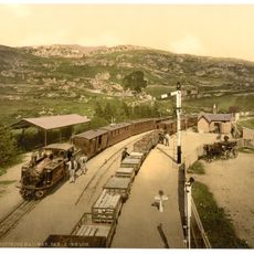
Ffestiniog Railway
209 m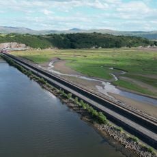
The Cob
527 m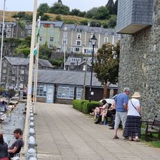
Maritime Museum
159 m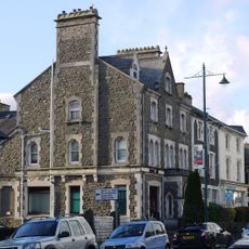
HSBC Bank
172 m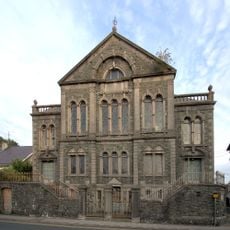
Capel y Garth
245 m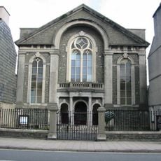
Salem Welsh Independent Chapel
219 m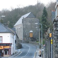
Church of the Most Holy Redeemer
335 m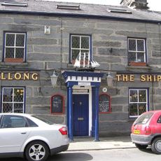
The Ship
222 m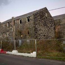
Snowdon Mill and Ty'r Felin
357 m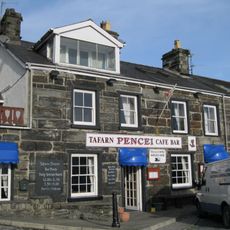
Tafarn Pencei
257 m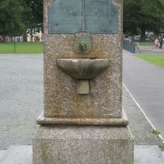
Madocks memorial fountain in The Park
132 m
Plas Ynys Tywyn
35 m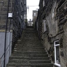
Grisiau Mawr (steps between Pencei (Cornhill) and Ffordd Garth)
316 m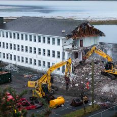
Tŷ Moelwyn
255 m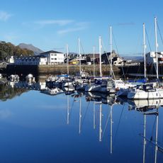
Snowdon Wharf
279 m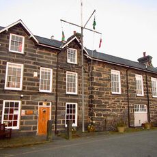
Madoc Yacht Club
330 m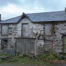
The Sail Loft
179 m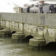
Britannia Bridge
118 m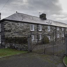
Cwrt yr Harbwr
169 m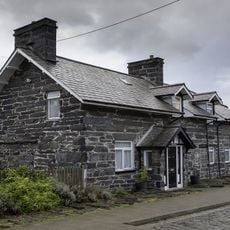
Wharf House
219 m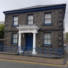
Masonic Hall
244 m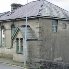
Baptist Chapel
263 m
Ty Toronto
310 m
Gatws
406 m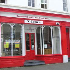
Y Cymro and house
205 m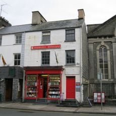
Browsers Bookshop and house
232 m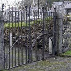
Harbour yard walls and gates to Greaves Wharf and Oakleys Wharf
168 m
The Oakleys
137 mAvis
Vous avez visité ce lieu ? Touchez les étoiles pour le noter et partager votre expérience ou vos photos avec la communauté ! Essayez maintenant ! Vous pouvez annuler à tout moment.
Trouvez des trésors cachés à chaque coin de rue !
Des petits cafés pittoresques aux points de vue planqués, fuyez la foule et dénichez les lieux qui vous ressemblent vraiment. Notre app vous facilite la vie : recherche vocale, filtres malins, itinéraires optimisés et bons plans partagés par des voyageurs du monde entier. Téléchargez vite pour vivre l'aventure en version mobile !

Une approche inédite de la découverte touristique❞
— Le Figaro
Tous les lieux qui valent la peine d'être explorés❞
— France Info
Une excursion sur mesure en quelques clics❞
— 20 Minutes