
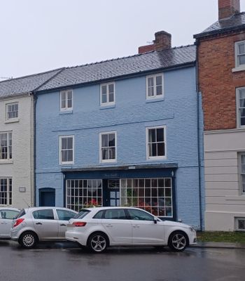
Tan-y-castell, Grade II listed building in Montgomery. Situated in terraced row between Broad Street Farmhouse and Bank House
Emplacement : Montgomery
Altitude : 169,3 m
Coordonnées GPS : 52.56010,-3.14851
Dernière mise à jour : 17 mars 2025 à 18:02
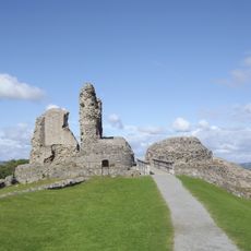
Montgomery Castle
374 m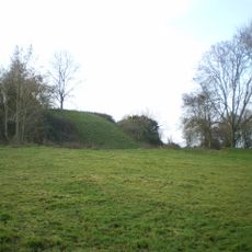
Hen Domen
1.8 km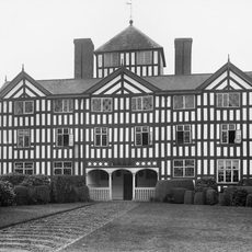
Lymore, Montgomery
969 m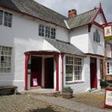
The Old Bell
69 m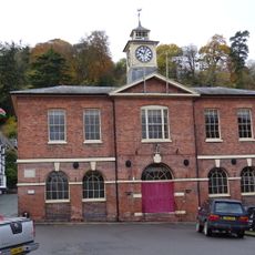
Montgomery Town Hall
33 m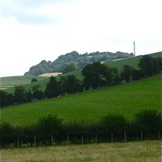
Ffridd Faldwyn, Montgomery
754 m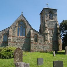
Church of St Michael and All Angels, Forden
4.6 km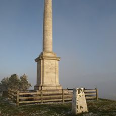
Montgomeryshire County War Memorial
955 m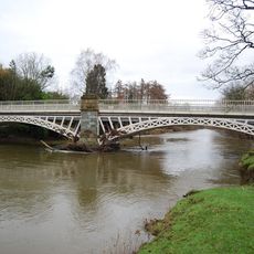
Caerhowel Bridge
3.1 km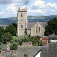
St Nicholas's Church
158 m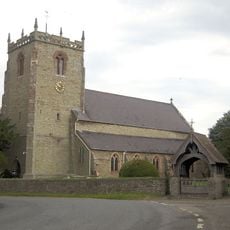
Church of St Michael
4.4 km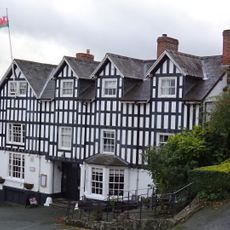
The Dragon Hotel
57 m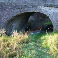
Bridge 131 Over The Montgomeryshire Canal, Garthmyl
3.9 km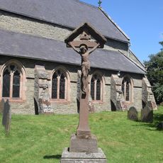
Chirbury War Memorial
4.4 km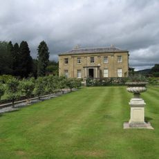
Glansevern Hall
4.4 km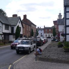
Montgomery Library
60 m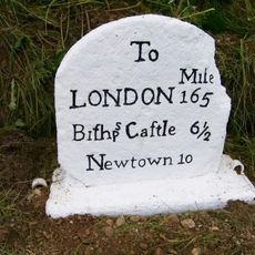
Milestone at NGR SO 2463 9319
4.1 km
Colomendy
38 m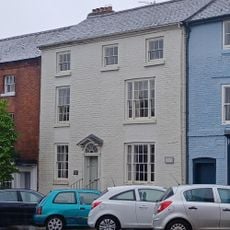
Broad Street Farmhouse
10 m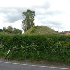
Motte and bailey castle and line of Offa's Dyke adjacent to Brompton Mill
4.3 km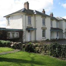
The Old Rectory
2.9 km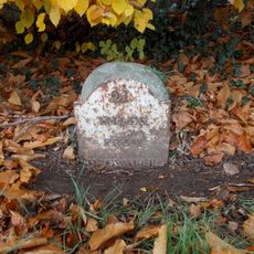
Milestone near junction with New Road
745 m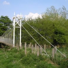
Fron Footbridge
4.1 km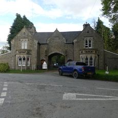
Mellington Gatehouse
4.5 km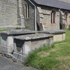
Group Of 10 Chest Tombs Approximately 3.5 To 10 Metres South Of Chancel Of Church Of St Michael
4.4 km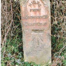
Milestone At Ngr So 2448 9376
3.6 km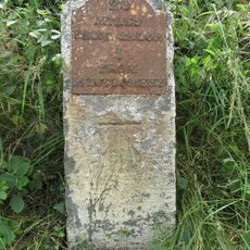
Milestone At Ngr So 2410 9777
2.3 km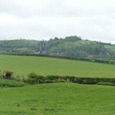
Offa's Dyke: section 2/3 mile (1170m) long, N from southern boundary of Rownal Covert
2.2 kmVous avez visité ce lieu ? Touchez les étoiles pour le noter et partager votre expérience ou vos photos avec la communauté ! Essayez maintenant ! Vous pouvez annuler à tout moment.
Trouvez des trésors cachés à chaque coin de rue !
Des petits cafés pittoresques aux points de vue planqués, fuyez la foule et dénichez les lieux qui vous ressemblent vraiment. Notre app vous facilite la vie : recherche vocale, filtres malins, itinéraires optimisés et bons plans partagés par des voyageurs du monde entier. Téléchargez vite pour vivre l'aventure en version mobile !

Une approche inédite de la découverte touristique❞
— Le Figaro
Tous les lieux qui valent la peine d'être explorés❞
— France Info
Une excursion sur mesure en quelques clics❞
— 20 Minutes