
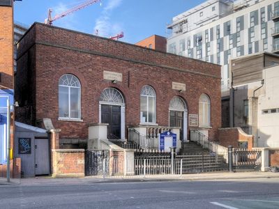
Chapel Street And Hope United Reformed Church, chapel in Salford, Greater Manchester, UK
Emplacement : Salford
Coordonnées GPS : 53.48376,-2.25486
Dernière mise à jour : 5 mars 2025 à 00:26
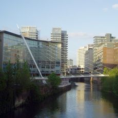
Trinity Bridge
301 m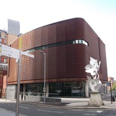
People's History Museum
293 m
Albert Bridge
249 m
Threlfalls Brewery
113 m
Salford Town Hall
290 m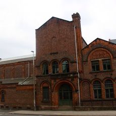
Manchester Tennis And Racquet Club
288 m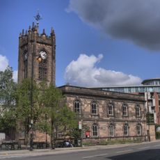
Church of the Sacred Trinity
322 m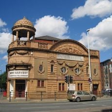
Salford Cinema
190 m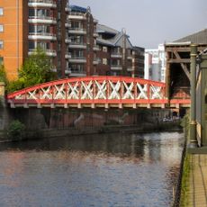
Irwell Street Bridge (That Part In Salford Civil Parish)
351 m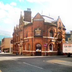
The Kings Arms
86 m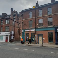
The Punch Bowl Public House
327 m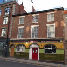
The Crown Tavern
409 m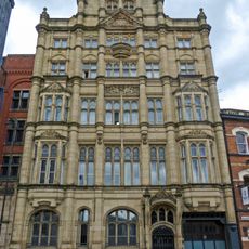
10 and 12, Blackfriars Street
379 m
The Edge, Salford
393 m
14 And 16, Blackfriars Street
391 m
Southern Railway Viaduct And Colonnade
99 m
Arlington House
93 m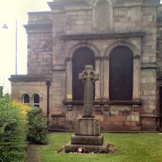
Sacred Trinity, Salford War Memorial
338 m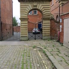
Wall, Archways And Gates To Courtyard Of Town Hall
295 m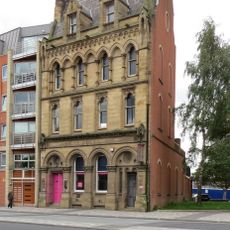
Former Williams Deacon Bank
232 m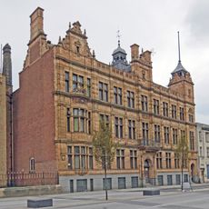
Salford Education Offices
354 m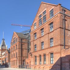
Number 6 And Salford House
53 m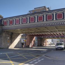
Northern Railway Viaduct
70 m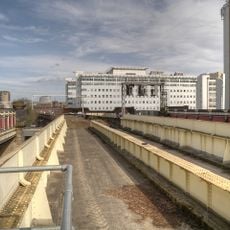
Central Railway Viaduct
84 m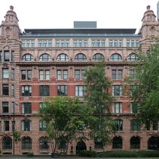
National Buildings
397 m
3 St Mary's Parsonage
388 m
The Pump House, Water Street
391 m
31 And 33, King Street West, including 3 Smithy Lane
396 mVous avez visité ce lieu ? Touchez les étoiles pour le noter et partager votre expérience ou vos photos avec la communauté ! Essayez maintenant ! Vous pouvez annuler à tout moment.
Trouvez des trésors cachés à chaque coin de rue !
Des petits cafés pittoresques aux points de vue planqués, fuyez la foule et dénichez les lieux qui vous ressemblent vraiment. Notre app vous facilite la vie : recherche vocale, filtres malins, itinéraires optimisés et bons plans partagés par des voyageurs du monde entier. Téléchargez vite pour vivre l'aventure en version mobile !

Une approche inédite de la découverte touristique❞
— Le Figaro
Tous les lieux qui valent la peine d'être explorés❞
— France Info
Une excursion sur mesure en quelques clics❞
— 20 Minutes