
Neal's, building in Bromley, Greater London, UK
Emplacement : London Borough of Bromley
Coordonnées GPS : 51.35717,0.12777
Dernière mise à jour : 8 mars 2025 à 18:01
St Margaret's Church, Halstead
2.4 km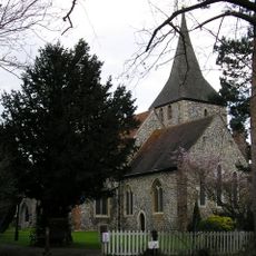
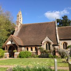
Church of St Martin of Tours
330 m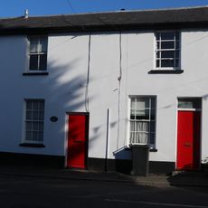
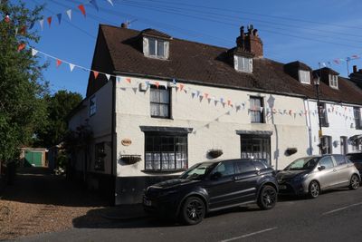
4-6, Church Road
40 m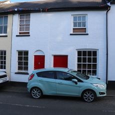
1-3, Church Road
30 m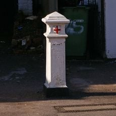
Coal Taxpost Outside Baptist Church
2.7 km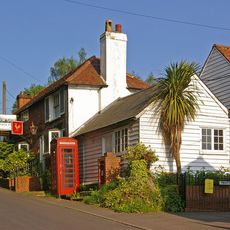
The Rock And Fountain Public House
1.2 km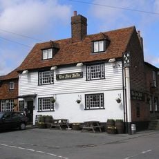
Five Bells Public House
24 m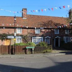
Chelsfield Post Office
16 m
The Old Bakery
19 m
Goddington House
1.7 km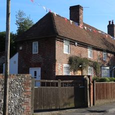
Wychway
22 m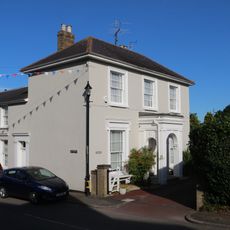
Stone House
50 m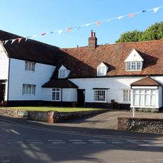
Crosshall
42 m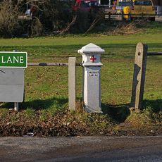
Coal Taxpost At Junction With Warren Road
2.7 km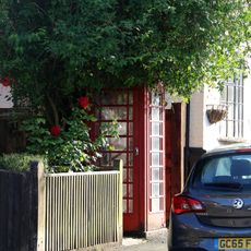
K6 Telephone Kiosk
10 m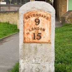
Milestone At Junction Of Sevenoaks Road With Farnborough Hill
2.7 km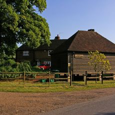
Hewitts
1.1 km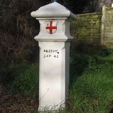
Coal Taxpost Outside No 49
1.8 km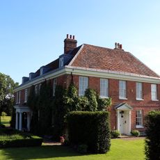
Court Lodge
380 m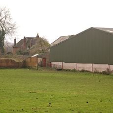
Chelsfield Hall Farmhouse
2.7 km
Cross House
12 m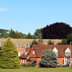
Chelsfield House
292 m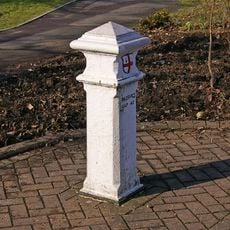
Coal Taxpost At Junction With Farnborough Hill
2.7 km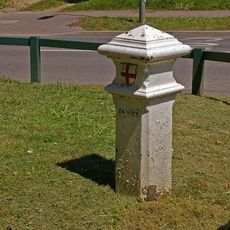
Coal Taxpost By Entrance To Recreation Ground
993 m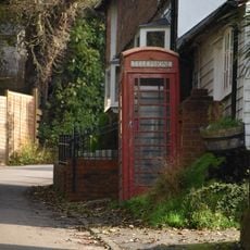
K6 Telephone Kiosk
1.2 km
Milestone At Tq 4671 6228
2.4 km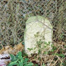
Milestone, Old London Road, S of substation and 100m N of Badgers Mount boundary sign
2.1 km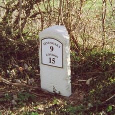
Milestone, Sevenoaks Road, E of Norsted Lane, Pratt's Bottom
2.4 kmAvis
Vous avez visité ce lieu ? Touchez les étoiles pour le noter et partager votre expérience ou vos photos avec la communauté ! Essayez maintenant ! Vous pouvez annuler à tout moment.
Trouvez des trésors cachés à chaque coin de rue !
Des petits cafés pittoresques aux points de vue planqués, fuyez la foule et dénichez les lieux qui vous ressemblent vraiment. Notre app vous facilite la vie : recherche vocale, filtres malins, itinéraires optimisés et bons plans partagés par des voyageurs du monde entier. Téléchargez vite pour vivre l'aventure en version mobile !

Une approche inédite de la découverte touristique❞
— Le Figaro
Tous les lieux qui valent la peine d'être explorés❞
— France Info
Une excursion sur mesure en quelques clics❞
— 20 Minutes