
Chest Tomb About 70 Yards South Of The Nave Of The Church Of St Mary The Virgin
Chest Tomb About 70 Yards South Of The Nave Of The Church Of St Mary The Virgin, chest tomb in Hanbury, Wychavon, Worcestershire, UK
Emplacement : Hanbury
Coordonnées GPS : 52.27714,-2.06815
Dernière mise à jour : 5 mars 2025 à 04:52


Hanbury Hall
1.1 km
St Mary the Virgin, Hanbury
66 m
Church of St Michael
3.4 km
Church of St Mary
2.9 km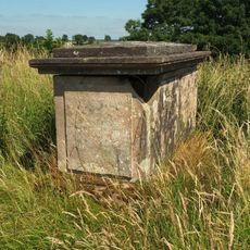
Perkins Memorial About 61 Yards South Of The Chancel Of The Church Of St Mary The Virgin
16 m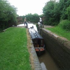
Worcester and Birmingham Canal, Lock Number 31
3.8 km
Worcester and Birmingham Canal, Lock Number 33
3.8 km
Hanbury War Memorial
1.7 km
Stoke Prior War Memorial
3.4 km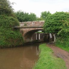
Worcester and Birmingham Canal, Canal Bridge Number 49 (Between Lock Numbers 30 and 31)
3.8 km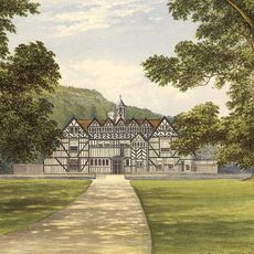
Mere Hall
2.5 km
Farmer Memorial About 5 Yards South-Easte Of The Chancel Of The Church Of St Mary The Virgin
57 m
Thomas Memorial About 6 Yards East Of The Chancel Of The Church Of St Mary The Virgin
64 m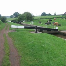
Worcester and Birmingham Canal, Lock Number 30
3.8 km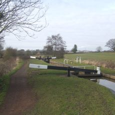
Worcester and Birmingham Canal, Lock Number 29
3.8 km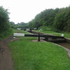
Worcester and Birmingham Canal, Lock Number 34
3.8 km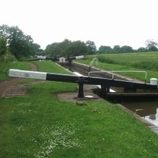
Worcester and Birmingham Canal, Lock Number 35
3.9 km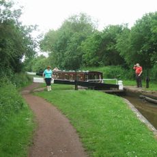
Worcester and Birmingham Canal, Lock Number 32
3.8 km
Danzey Green Windmill
3.9 km
Worcester and Birmingham Canal, Stoke Pound Bridge (Number 48)
3.6 km
The Long Gallery About 30 Yards North-west Of Hanbury Hall And Attached Wall To South-east
1.2 km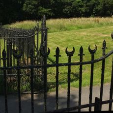
Railings And Gates About 15 Yards West Of The Church Of St Mary The Virgin
77 m
The Moorlands
1.1 km
The Orangery And Adjoining Walls About 120 Yards West Of Hanbury Hall
1.4 km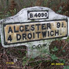
Milestone, Woolmere Green, Saltway, 5m in front of "Hanbury" sign
1.8 km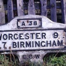
Milestone, Elm Court, Wychbold
3.6 km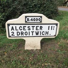
Milestone, Saltway, E of Railway bridge, nr jct with Goosehill Lane
2.8 km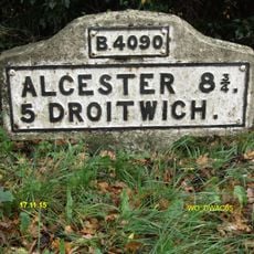
Milestone, Salt Way, W of Monkswood
2.5 kmAvis
Vous avez visité ce lieu ? Touchez les étoiles pour le noter et partager votre expérience ou vos photos avec la communauté ! Essayez maintenant ! Vous pouvez annuler à tout moment.
Trouvez des trésors cachés à chaque coin de rue !
Des petits cafés pittoresques aux points de vue planqués, fuyez la foule et dénichez les lieux qui vous ressemblent vraiment. Notre app vous facilite la vie : recherche vocale, filtres malins, itinéraires optimisés et bons plans partagés par des voyageurs du monde entier. Téléchargez vite pour vivre l'aventure en version mobile !

Une approche inédite de la découverte touristique❞
— Le Figaro
Tous les lieux qui valent la peine d'être explorés❞
— France Info
Une excursion sur mesure en quelques clics❞
— 20 Minutes