
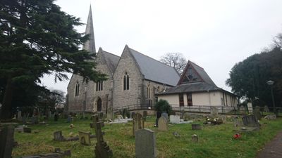
Church of the Holy Saviour, church building in City of Southampton, Hampshire, UK
Emplacement : City of Southampton
Coordonnées GPS : 50.91390,-1.35838
Dernière mise à jour : 3 mars 2025 à 22:28
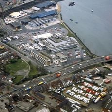
Television Centre, Southampton
2.1 km
Itchen Bridge
2.5 km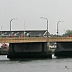
Northam Bridge
1.9 km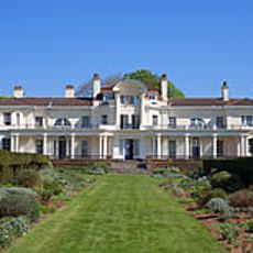
Townhill Park House
2.2 km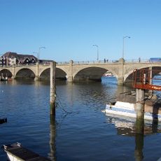
Cobden Bridge
1.8 km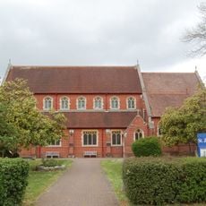
Church of St James
1.8 km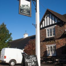
Old Farmhouse Public House
2.4 km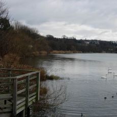
Chessel Bay
1.2 km
St Denys Priory
2 km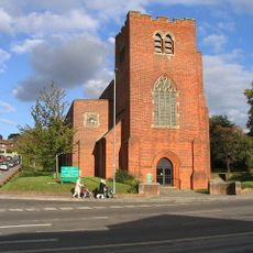
Church of Ascension
1.5 km
Bitterne Manor
1.9 km
Church of St Mary
1.6 km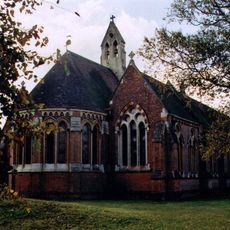
Church of St Denys
2.1 km
Chapel To The Royal South Hampshire Hospital
2.7 km
Chapel Mills, American Wharf
2.6 km
Jesus Chapel - St Mary Extra
1.6 km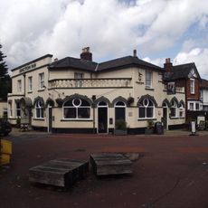
The Junction Inn Public House
2.2 km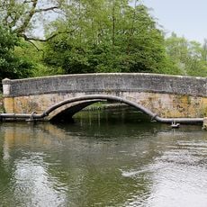
Mans Bridge
2.7 km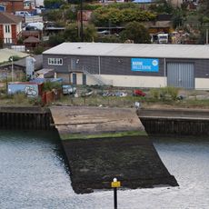
Supermarine Slipway
2.4 km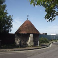
Cross House
2.6 km
Clock Tower (At East End Of Cobden Bridge)
1.7 km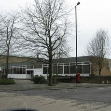
Bitterne Library
239 m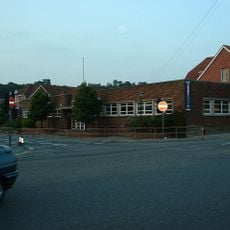
Cobbett Road Library
1.1 km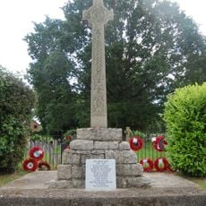
West End War Memorial, Hampshire
2.3 km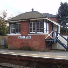
Woolston Signal Box
2.1 km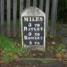
Milestone, Hatch Grange
2.1 km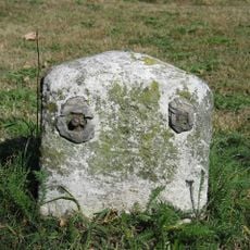
Milestone, Thornhill Park; by Abbots Leigh, Upper Northam Drive, opposite the allotments
2.4 km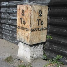
Milestone, Bitterne; opp. 292 Bitterne Road West. 50m W junction with Juniper Road
847 mAvis
Vous avez visité ce lieu ? Touchez les étoiles pour le noter et partager votre expérience ou vos photos avec la communauté ! Essayez maintenant ! Vous pouvez annuler à tout moment.
Trouvez des trésors cachés à chaque coin de rue !
Des petits cafés pittoresques aux points de vue planqués, fuyez la foule et dénichez les lieux qui vous ressemblent vraiment. Notre app vous facilite la vie : recherche vocale, filtres malins, itinéraires optimisés et bons plans partagés par des voyageurs du monde entier. Téléchargez vite pour vivre l'aventure en version mobile !

Une approche inédite de la découverte touristique❞
— Le Figaro
Tous les lieux qui valent la peine d'être explorés❞
— France Info
Une excursion sur mesure en quelques clics❞
— 20 Minutes