
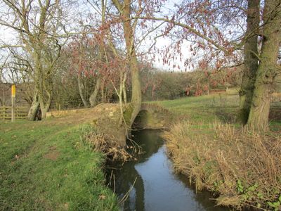
Carr Bridge, pont situé au Royaume-Uni
Emplacement : Hungarton
Coordonnées GPS : 52.67030,-0.95598
Dernière mise à jour : 2 mars 2025 à 23:27
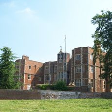
Quenby Hall
2.2 km
Burrough Court
4.6 km
Baggrave Hall
942 m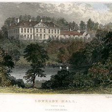
Lowesby Hall
1.8 km
Ashby Folville Manor
3.3 km
All Saints Church, Beeby
4.3 km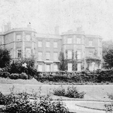
Gaddesby Hall
4.9 km
St Mary's Church, Ashby Folville
3.4 km
Church of St Andrew
2.7 km
Church of All Saints
2 km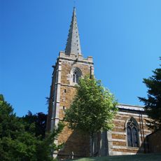
Church of St John the Baptist
2.1 km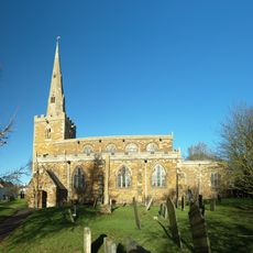
Church of St Peter
4.7 km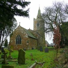
Church of St John the Baptist
2.3 km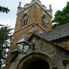
Church of All Saints
4.2 km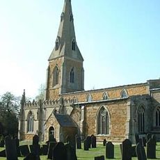
Church of St Luke
4.8 km
Church of St Michael
4 km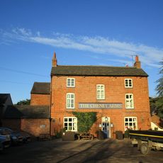
The Cheney Arms
4.8 km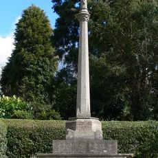
Hungarton War Memorial
2.1 km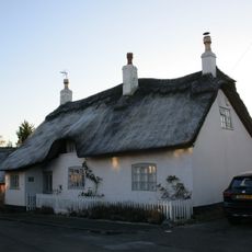
White Cottage And Adjoining Dairy
2.8 km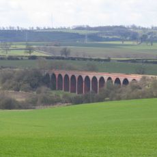
John O'Gaunt railway viaduct
3.5 km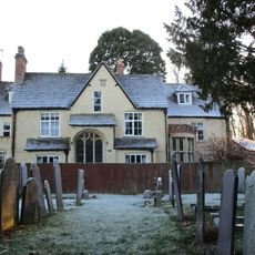
The Vicarage
3.4 km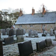
The Bedehouses
3.4 km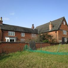
North Manor Farmhouse
2.3 km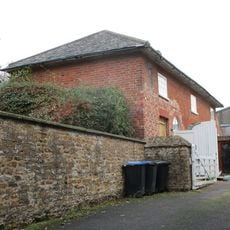
Coach House At Rodhill Farm
4.8 km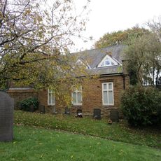
Old School
4.7 km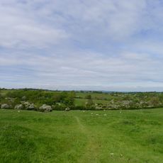
Moated site and deserted medieval village at Old Ingarsby
4.1 km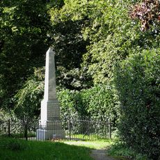
Gaddesby war memorial and associated railings
4.8 km
Quenby Lodge Farmhouse
1.9 kmAvis
Vous avez visité ce lieu ? Touchez les étoiles pour le noter et partager votre expérience ou vos photos avec la communauté ! Essayez maintenant ! Vous pouvez annuler à tout moment.
Trouvez des trésors cachés à chaque coin de rue !
Des petits cafés pittoresques aux points de vue planqués, fuyez la foule et dénichez les lieux qui vous ressemblent vraiment. Notre app vous facilite la vie : recherche vocale, filtres malins, itinéraires optimisés et bons plans partagés par des voyageurs du monde entier. Téléchargez vite pour vivre l'aventure en version mobile !

Une approche inédite de la découverte touristique❞
— Le Figaro
Tous les lieux qui valent la peine d'être explorés❞
— France Info
Une excursion sur mesure en quelques clics❞
— 20 Minutes