
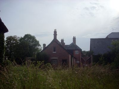
Dogdean Farmhouse And Stable Block, farmhouse in Britford, Wiltshire, UK
Emplacement : Britford
Coordonnées GPS : 51.04252,-1.80950
Dernière mise à jour : 5 mars 2025 à 15:02
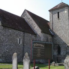
Church of St George, Harnham
2.2 km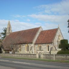
Church of All Saints, Harnham
2 km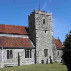
Church of St Mary the Virgin
1.6 km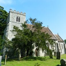
Church of St Mary
1.9 km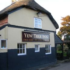
Yew Tree Inn
1.5 km
The Rose and Crown Inn
2.1 km
Box Cottage
1.5 km
Elim Hunters Cottage The Old Cottage
2.3 km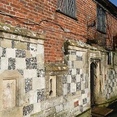
Mill House and Old Mill
2.4 km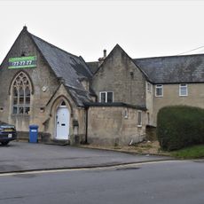
Old School
2.1 km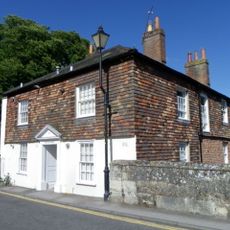
9 And 11, St Nicholas's Road
2.2 km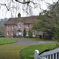
The South Canonry, Now Bishop's House
2.2 km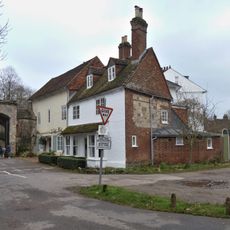
72, The Close
2.3 km
10 and 12, St Nicholas's Road
2.3 km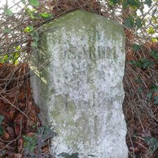
Milestone About 300 Metres East Of Junction With Old Blandford Road
1.2 km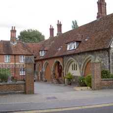
St Nicholas's Hospital
2.3 km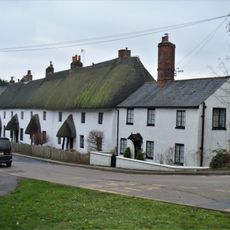
Rose And Crown Terrace
2 km
Entrance Of No 71 From West Walk Into Screen Walls Gate Piers And Overthrow
2.3 km
Outbuilding To West Of Old Parsonage
2.1 km
South or Harnham Gate and South Gate House
2.4 km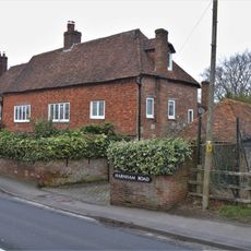
Old Parsonage
2.1 km
16 And 18, St Nicholas's Road
2.2 km
7, St Nicholas's Road
2.2 km
Boundary Wall And Gateway To North Of Nos 71A And 71B Along West Walk
2.3 km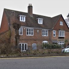
De Vaux House
2.4 km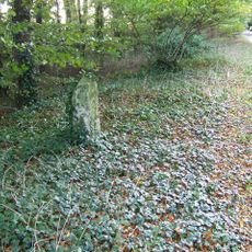
Milestone About 150 Metres East Of The Entrance To Bake Farm
1.5 km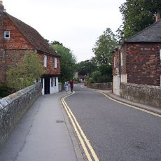
Ayleswade Bridge Old Harnham Bridge
2.2 km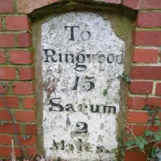
Milestone, High Road, Britford
2.4 kmAvis
Vous avez visité ce lieu ? Touchez les étoiles pour le noter et partager votre expérience ou vos photos avec la communauté ! Essayez maintenant ! Vous pouvez annuler à tout moment.
Trouvez des trésors cachés à chaque coin de rue !
Des petits cafés pittoresques aux points de vue planqués, fuyez la foule et dénichez les lieux qui vous ressemblent vraiment. Notre app vous facilite la vie : recherche vocale, filtres malins, itinéraires optimisés et bons plans partagés par des voyageurs du monde entier. Téléchargez vite pour vivre l'aventure en version mobile !

Une approche inédite de la découverte touristique❞
— Le Figaro
Tous les lieux qui valent la peine d'être explorés❞
— France Info
Une excursion sur mesure en quelques clics❞
— 20 Minutes