
31, High Pavement, building in City of Nottingham, Nottinghamshire, UK
Emplacement : City of Nottingham
Coordonnées GPS : 52.95099,-1.14392
Dernière mise à jour : 2 mars 2025 à 20:59

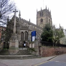
St Mary's Church, Nottingham
14 m
Musée national de la justice
5 m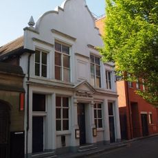
Lace Market Theatre
94 m
High Pavement Chapel
95 m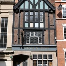
Cock and Hoop
16 m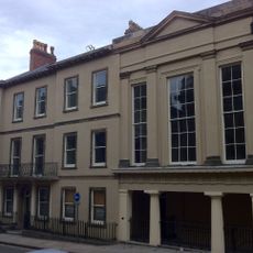
County House
40 m
County War Memorial
15 m
Former Police Station Adjoining Shire Hall
57 m
49, St Mary's Gate
57 m
King's Court
92 m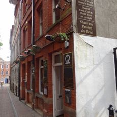
46, St Mary's Gate
37 m
Birkin Building
85 m
Jacoby's Building
75 m
Teespoint House
107 m
2, 4 And 6, Broadway
89 m
44, High Pavement
74 m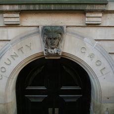
Shire Hall And Adjoining County Gaol
32 m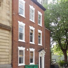
14, High Pavement
65 m
1, Broadway
107 m
Urquhart House
98 m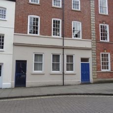
28, High Pavement
31 m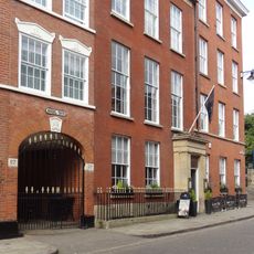
Number 29 And Area Railings
8 m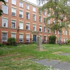
3 And 4, Kayes Walk
61 m
48 And 50, St Mary's Gate
26 m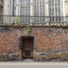
Churchyard Wall, Railings And Gates At Church Of St Mary Churchyard Walls, Railings And Gates To Church Of St Mary
103 m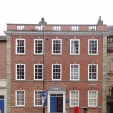
26, High Pavement
28 m
46 And 48, High Pavement
83 m
35 And 37, St Mary's Gate
77 mAvis
Vous avez visité ce lieu ? Touchez les étoiles pour le noter et partager votre expérience ou vos photos avec la communauté ! Essayez maintenant ! Vous pouvez annuler à tout moment.
Trouvez des trésors cachés à chaque coin de rue !
Des petits cafés pittoresques aux points de vue planqués, fuyez la foule et dénichez les lieux qui vous ressemblent vraiment. Notre app vous facilite la vie : recherche vocale, filtres malins, itinéraires optimisés et bons plans partagés par des voyageurs du monde entier. Téléchargez vite pour vivre l'aventure en version mobile !

Une approche inédite de la découverte touristique❞
— Le Figaro
Tous les lieux qui valent la peine d'être explorés❞
— France Info
Une excursion sur mesure en quelques clics❞
— 20 Minutes