
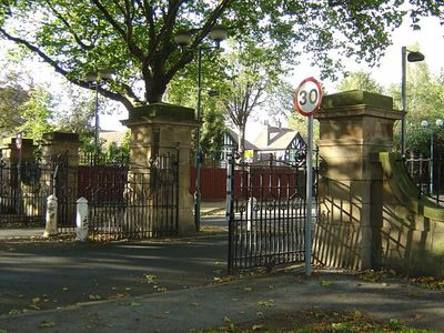
Gateways And Screens At North End Of Embankment, gate in City of Nottingham, Nottinghamshire, UK
Emplacement : City of Nottingham
Coordonnées GPS : 52.93819,-1.13837
Dernière mise à jour : 7 mars 2025 à 12:58
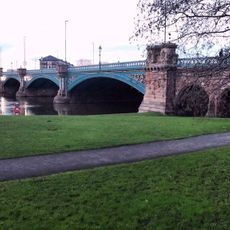
Trent Bridge
120 m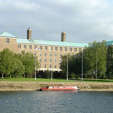
County Hall, Nottinghamshire
264 m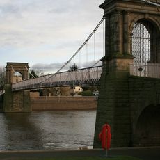
Wilford Suspension Bridge
559 m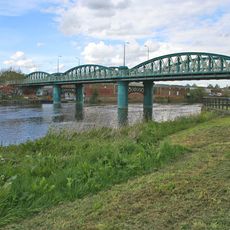
Lady Bay Bridge
687 m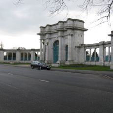
City War Memorial
422 m
St. Giles Church, West Bridgford
910 m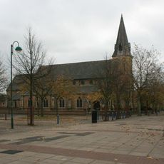
St Saviours in the Meadows, Nottingham
516 m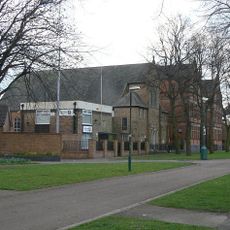
Queen's Walk Congregational Church
948 m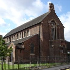
St Faith's Church, Nottingham
396 m
West Bridgford Methodist Church
713 m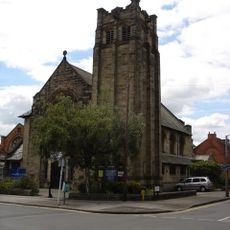
Friary United Reformed Church
532 m
Statue of Queen Victoria in Memorial Gardens
431 m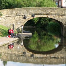
Bridge Over Canal
294 m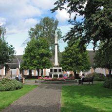
West Bridgford War Memorial
449 m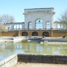
Ornamental Pond In Memorial Gardens
428 m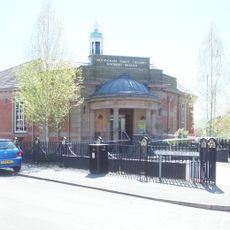
Meadows Library
686 m
West Bridgford Library
883 m
The Embankment (Former Boots Store No 2)
135 m
The Hall
900 m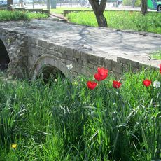
Old Trent Bridge
238 m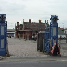
Cattle Market Gate And Gate Piers
639 m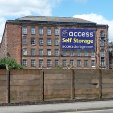
Meadow Mill
955 m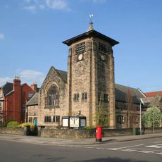
Boundary Wall And Gates At Musters Road Methodist Church
716 m
Bandstand
568 m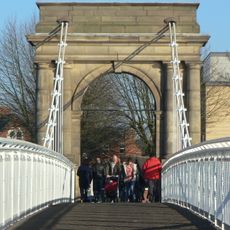
Footbridge Over River Trent (That Part In Nottingham Civil Parish)
553 m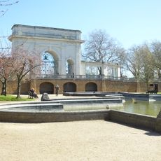
Terrace Wall On East Side Of Memorial Gardens
419 m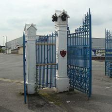
Cattle Market Gate And Gate Piers
630 m
Boundary Wall And Gate At Church Of St Giles
973 mAvis
Vous avez visité ce lieu ? Touchez les étoiles pour le noter et partager votre expérience ou vos photos avec la communauté ! Essayez maintenant ! Vous pouvez annuler à tout moment.
Trouvez des trésors cachés à chaque coin de rue !
Des petits cafés pittoresques aux points de vue planqués, fuyez la foule et dénichez les lieux qui vous ressemblent vraiment. Notre app vous facilite la vie : recherche vocale, filtres malins, itinéraires optimisés et bons plans partagés par des voyageurs du monde entier. Téléchargez vite pour vivre l'aventure en version mobile !

Une approche inédite de la découverte touristique❞
— Le Figaro
Tous les lieux qui valent la peine d'être explorés❞
— France Info
Une excursion sur mesure en quelques clics❞
— 20 Minutes