
Sundial Approximately 7 Metres East Of Groombridge Place
Sundial Approximately 7 Metres East Of Groombridge Place, sundial in Speldhurst, Tunbridge Wells, Kent, UK
Emplacement : Speldhurst
Coordonnées GPS : 51.11738,0.18971
Dernière mise à jour : 10 avril 2025 à 19:57
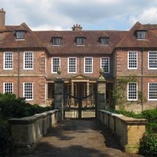
Groombridge Place
15 m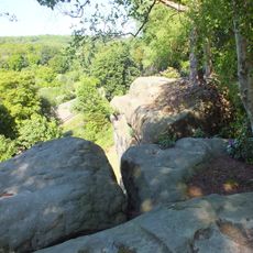
High Rocks
2.7 km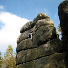
Harrison's Rocks
2.1 km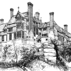
Leyswood
2.6 km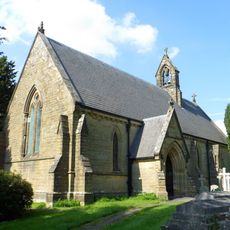
Church of St Peter
2.9 km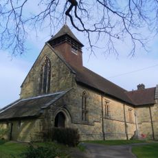
Church of St Thomas the Apostle
783 m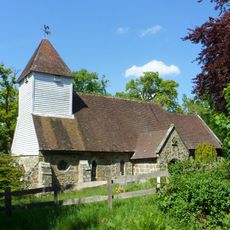
Church of St Martin of Tours
2.6 km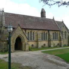
Church of All Saints
1.7 km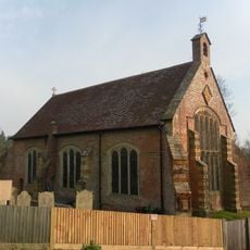
Chapel Of St John The Evangelist
297 m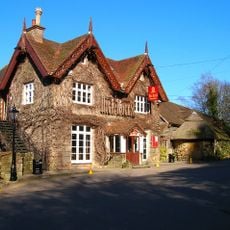
High Rocks Inn
2.6 km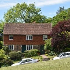
The Old Town Post Office Including Front Area Railings
351 m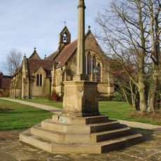
Langton Green War Memorial
1.8 km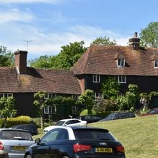
3 And 4, Bird-in-hand Street
383 m
The Crown Including Service Buildings Adjoining To North
323 m
7, 8 And 9, The Walks
341 m
Langton Park Lodge
1.9 km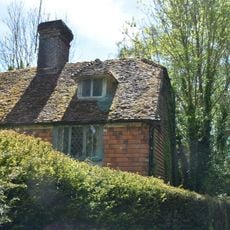
Mill House
298 m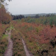
Broadwater Warren RSPB Reserve
2.1 km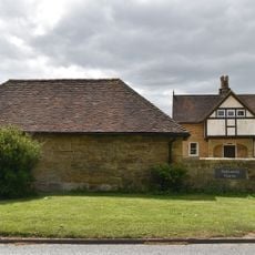
Stables Approximately 10 Metres North East Of Hollonds Farmhouse
1.7 km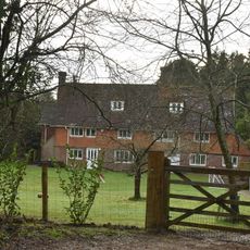
Stone Cross Farmhouse
1.8 km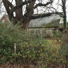
Tender Meads
2.6 km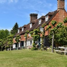
3, 4, 5 And 6, The Walks
356 m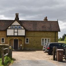
Hollonds Farmhouse
1.7 km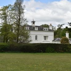
Langton House
1.9 km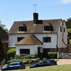
The Old Butchers
341 m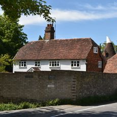
Corseley Farmhouse
923 m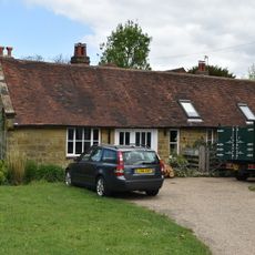
Forge Approximately 5 Metres North Of Forge House
1.9 km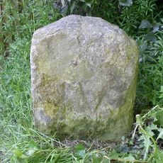
Milestone, Withyham Road; Groombridge
360 mAvis
Vous avez visité ce lieu ? Touchez les étoiles pour le noter et partager votre expérience ou vos photos avec la communauté ! Essayez maintenant ! Vous pouvez annuler à tout moment.
Trouvez des trésors cachés à chaque coin de rue !
Des petits cafés pittoresques aux points de vue planqués, fuyez la foule et dénichez les lieux qui vous ressemblent vraiment. Notre app vous facilite la vie : recherche vocale, filtres malins, itinéraires optimisés et bons plans partagés par des voyageurs du monde entier. Téléchargez vite pour vivre l'aventure en version mobile !

Une approche inédite de la découverte touristique❞
— Le Figaro
Tous les lieux qui valent la peine d'être explorés❞
— France Info
Une excursion sur mesure en quelques clics❞
— 20 Minutes