
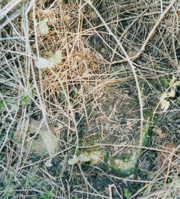
Milestone At National Grid Reference St 7628 6734
Milestone At National Grid Reference St 7628 6734, milestone in Swainswick, Bath and North East Somerset, Somerset, UK
Emplacement : Swainswick
Création : 18e siècle
Coordonnées GPS : 51.40508,-2.34242
Dernière mise à jour : 10 mars 2025 à 10:01
Solsbury Hill
793 m
Ashcombe House
1 km
Bathampton Toll Bridge
1.2 km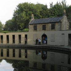
Cleveland Pools
1.6 km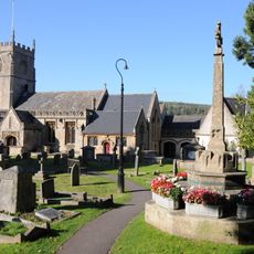
Church of St Nicholas, Bathampton
1.7 km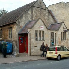
Rondo Theatre
1 km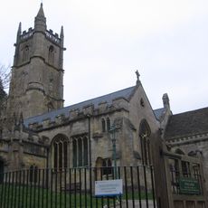
Church of St John The Baptist, Batheaston
1.5 km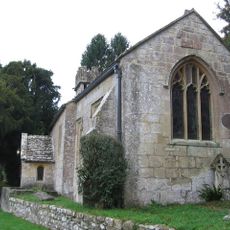
Church of St Mary
1.4 km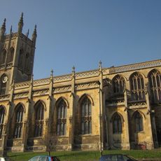
Church of St Saviour
1.1 km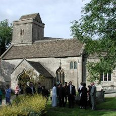
Church of St Mary
1.2 km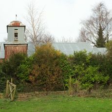
Former Bailbrook Mission Church
513 m
Highmere
1.4 km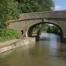
Candy's Bridge
1.4 km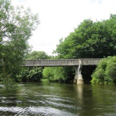
Grosvenor Bridge
1.3 km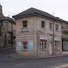
1, Balustrade
1.3 km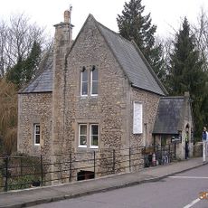
Toll House
1.2 km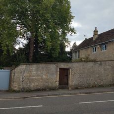
292, High Street
1.6 km
Bridge Over The Railway, To North Of Canal Bridge
1.3 km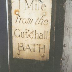
1, 2 And 3 Mile End
1.4 km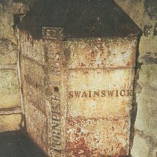
Parish Boundary Post In Wall By The Lam Bridge
961 m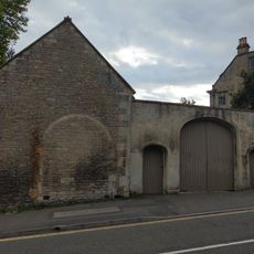
Garage, 15 Yards To East Of No 290, High Street
1.6 km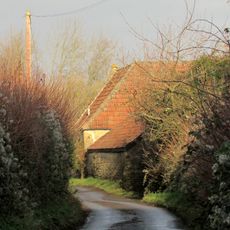
Twinfield Farmhouse
720 m
Nos. 1-41 And Attached Area Railings
1.2 km
Crossleaze Farmhouse
1.4 km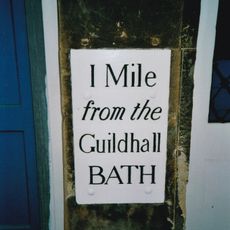
Milepost, London Road, Mile End, nr jct with Upper East Hayes
1.4 km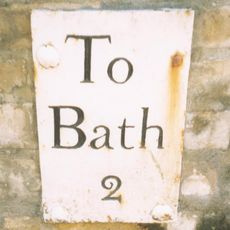
Milepost, London Road West, by Bathway House, No. 144
965 m
Milestone, Old Gloucester Road, N of Upper Swainswick
1.4 km
Barn To South Of Crossleaze Farmhouse
1.4 kmAvis
Vous avez visité ce lieu ? Touchez les étoiles pour le noter et partager votre expérience ou vos photos avec la communauté ! Essayez maintenant ! Vous pouvez annuler à tout moment.
Trouvez des trésors cachés à chaque coin de rue !
Des petits cafés pittoresques aux points de vue planqués, fuyez la foule et dénichez les lieux qui vous ressemblent vraiment. Notre app vous facilite la vie : recherche vocale, filtres malins, itinéraires optimisés et bons plans partagés par des voyageurs du monde entier. Téléchargez vite pour vivre l'aventure en version mobile !

Une approche inédite de la découverte touristique❞
— Le Figaro
Tous les lieux qui valent la peine d'être explorés❞
— France Info
Une excursion sur mesure en quelques clics❞
— 20 Minutes