
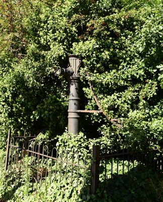
Water Pump, well in Ealing, Greater London, UB1
Emplacement : London Borough of Ealing
Coordonnées GPS : 51.51061,-0.36170
Dernière mise à jour : 7 mars 2025 à 23:53
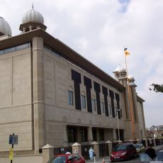
Gurdwara Sri Guru Singh Sabha
1.8 km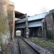
Windmill Bridge
816 m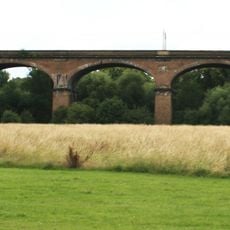
Wharncliffe Viaduct
1.2 km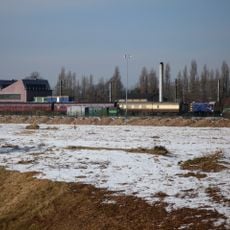
Southall Railway Centre
747 m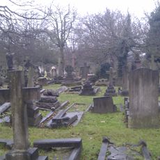
City of Westminster Cemetery, Hanwell
2.1 km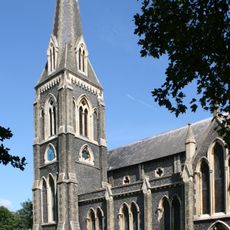
St. Mary's Church, Hanwell
1 km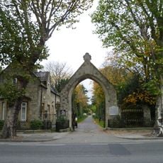
Royal Borough of Kensington and Chelsea Cemetery, Hanwell
2.1 km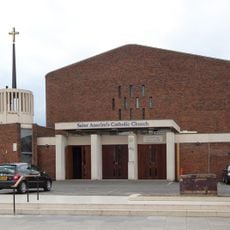
St Anselm's Church, Southall
1.5 km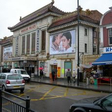
Palace Cinema
1 km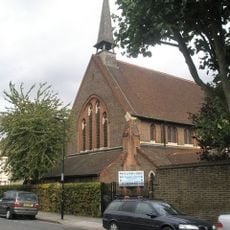
Church of St George
1.6 km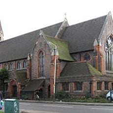
Church of St Mellitus
1.9 km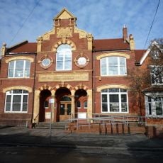
Southall Library (Dominion Centre and Library)
1.7 km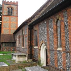
Church of St Mary
1.7 km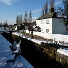
Walls, Gates, Sluices And Bridge At Lock (90)
972 m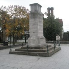
Southall War Memorial
1.6 km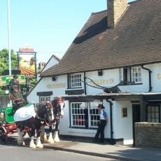
The Plough Public House
1.7 km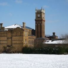
Hanwell Community Centre
2.2 km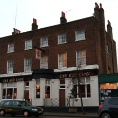
Red Lion Public House
674 m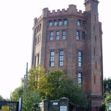
The Water Tower
1.4 km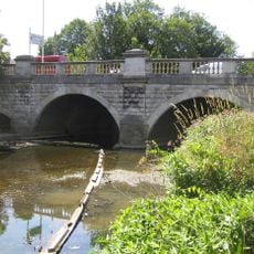
Hanwell Bridge
1.3 km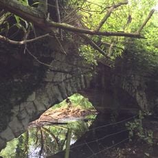
Roman Bridge
1.5 km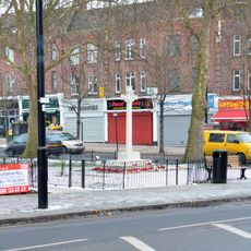
Greenford War Memorial
2.1 km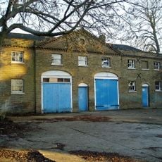
Stable Block At Brent Lodge Park
998 m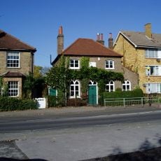
Former Norwood Free School
1.7 km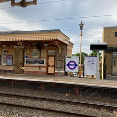
Main Up Side Building and Downside Island Platform at Hanwell Station
1.6 km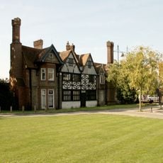
Southall Manor House
1.6 km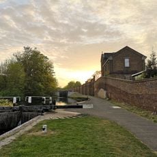
Hanwell flight of locks and brick boundary wall of St Bernard's Hospital
1.1 km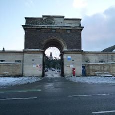
Entrance Archway And 2 Lodges, (One Each Side Of Entrance) To St Bernard's Hospital
872 mAvis
Vous avez visité ce lieu ? Touchez les étoiles pour le noter et partager votre expérience ou vos photos avec la communauté ! Essayez maintenant ! Vous pouvez annuler à tout moment.
Trouvez des trésors cachés à chaque coin de rue !
Des petits cafés pittoresques aux points de vue planqués, fuyez la foule et dénichez les lieux qui vous ressemblent vraiment. Notre app vous facilite la vie : recherche vocale, filtres malins, itinéraires optimisés et bons plans partagés par des voyageurs du monde entier. Téléchargez vite pour vivre l'aventure en version mobile !

Une approche inédite de la découverte touristique❞
— Le Figaro
Tous les lieux qui valent la peine d'être explorés❞
— France Info
Une excursion sur mesure en quelques clics❞
— 20 Minutes