
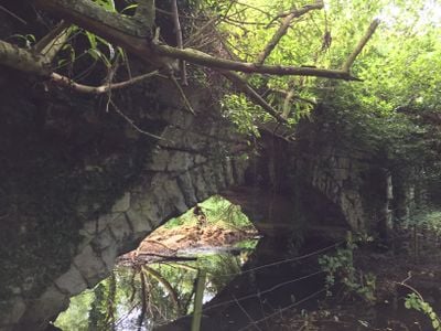
Roman Bridge, pont situé au Royaume-Uni
Emplacement : London Borough of Hounslow
Coordonnées GPS : 51.49860,-0.35320
Dernière mise à jour : 2 mars 2025 à 23:53
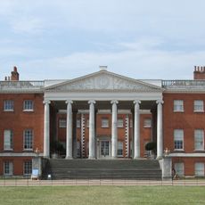
Osterley House
1 km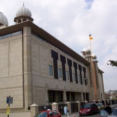
Gurdwara Sri Guru Singh Sabha
1.9 km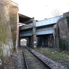
Windmill Bridge
664 m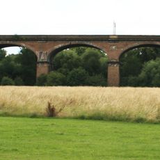
Wharncliffe Viaduct
1.5 km
Southall Railway Centre
1.5 km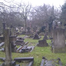
City of Westminster Cemetery, Hanwell
1.8 km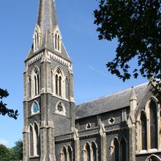
St. Mary's Church, Hanwell
1.7 km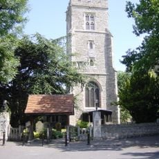
St Leonard's Church, Heston
2 km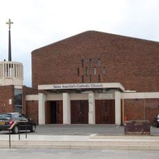
St Anselm's Church, Southall
2 km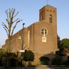
Church of St Thomas the Apostle
1.6 km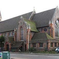
Church of St Mellitus
1.7 km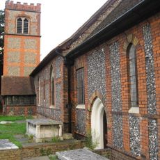
Church of St Mary
999 m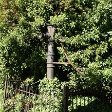
Water Pump (On The South Side Of West Middlesex Golf Course, Nearly Opposite Lyndhurst Avenue)
1.5 km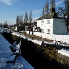
Walls, Gates, Sluices And Bridge At Lock (90)
774 m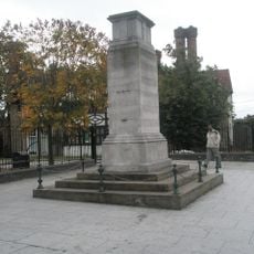
Southall War Memorial
2 km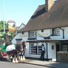
The Plough Public House
968 m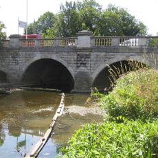
Hanwell Bridge
1.3 km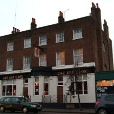
Red Lion Public House
1.8 km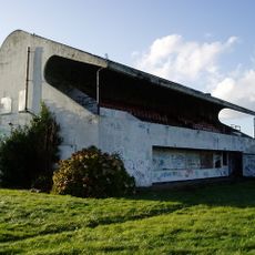
Pavilion And Clubhouse
1.9 km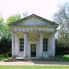
The Temple In Osterley Park
927 m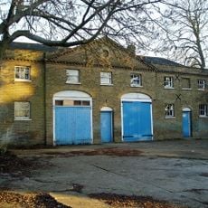
Stable Block At Brent Lodge Park
1.7 km
Former Norwood Free School
937 m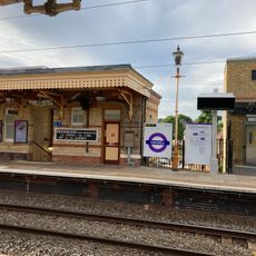
Main Up Side Building and Downside Island Platform at Hanwell Station
1.8 km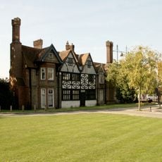
Southall Manor House
2 km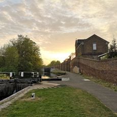
Hanwell flight of locks and brick boundary wall of St Bernard's Hospital
784 m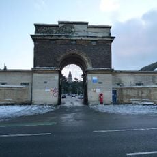
Entrance Archway And 2 Lodges, (One Each Side Of Entrance) To St Bernard's Hospital
1.2 km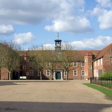
Osterley House Stables
927 m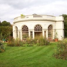
Aviary or Little Orangerey in Osterley Park
875 mVous avez visité ce lieu ? Touchez les étoiles pour le noter et partager votre expérience ou vos photos avec la communauté ! Essayez maintenant ! Vous pouvez annuler à tout moment.
Trouvez des trésors cachés à chaque coin de rue !
Des petits cafés pittoresques aux points de vue planqués, fuyez la foule et dénichez les lieux qui vous ressemblent vraiment. Notre app vous facilite la vie : recherche vocale, filtres malins, itinéraires optimisés et bons plans partagés par des voyageurs du monde entier. Téléchargez vite pour vivre l'aventure en version mobile !

Une approche inédite de la découverte touristique❞
— Le Figaro
Tous les lieux qui valent la peine d'être explorés❞
— France Info
Une excursion sur mesure en quelques clics❞
— 20 Minutes