
Linear earthwork 230m south west of Covers Farm, archaeological site in Limpsfield, Tandridge, England, UK
Emplacement : Limpsfield
Coordonnées GPS : 51.26260,0.05180
Dernière mise à jour : 8 avril 2025 à 04:01
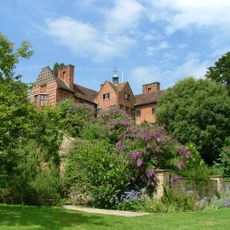
Chartwell
3 km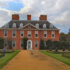
Squerryes Court
864 m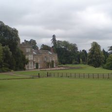
Titsey Place
3 km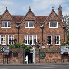
Quebec House
1.8 km
All Saints Church, Oxted
3.9 km
Holy Trinity Church, Crockham Hill
3 km
Westerham Wood
1.7 km
Church of St James the Greater
2.8 km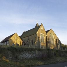
Church of St Peter
2.8 km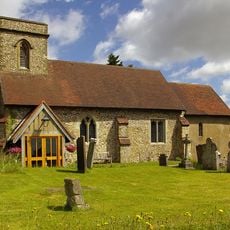
Church of St Mary the Virgin
3.1 km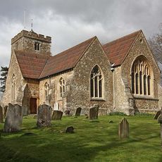
Church of St Martin
4.1 km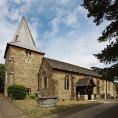
Church of St Mary the Virgin
1.6 km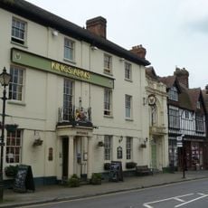
The King's Arms Hotel
1.4 km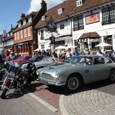
The George And Dragon Hotel
1.5 km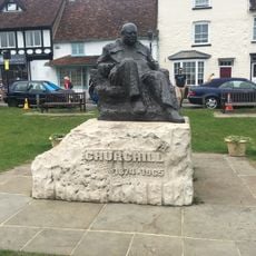
Statue of Sir Winston Churchill
1.6 km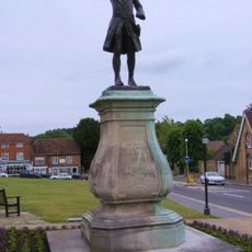
Statue of General Wolfe
1.5 km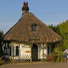
Cottage Orne Attached To Spinning Wheel Restaurant
3.4 km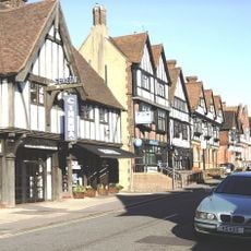
Everyman Oxted
4.1 km
United Reformed Church and Attached Walls
3.9 km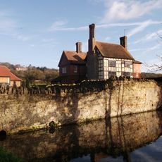
Tenchleys Manor
2.7 km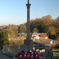
Westerham War Memorial
1.6 km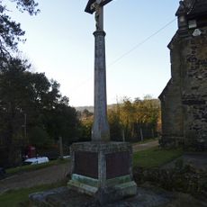
Limpsfield War Memorial
2.8 km
Former Stables And Coach House And Linking Wall And Mounting Block To The South West Of Foxwold
3.2 km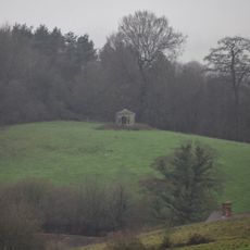
Gazebo About 330 Yards West Of Squerryes Court On Top Of Hill At Other Side Of Road
556 m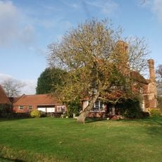
Stockenden
3.7 km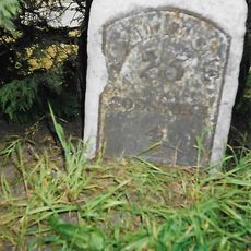
Milestone, half mile E of Oxted viaduct, 70m W of jct with Detillens Lane
3.4 km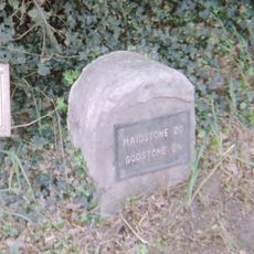
Milestone, Westerham Road, by Heverswood Lodge, W edge of village
3.7 km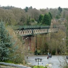
Oxted Viaduct
3.9 kmAvis
Vous avez visité ce lieu ? Touchez les étoiles pour le noter et partager votre expérience ou vos photos avec la communauté ! Essayez maintenant ! Vous pouvez annuler à tout moment.
Trouvez des trésors cachés à chaque coin de rue !
Des petits cafés pittoresques aux points de vue planqués, fuyez la foule et dénichez les lieux qui vous ressemblent vraiment. Notre app vous facilite la vie : recherche vocale, filtres malins, itinéraires optimisés et bons plans partagés par des voyageurs du monde entier. Téléchargez vite pour vivre l'aventure en version mobile !

Une approche inédite de la découverte touristique❞
— Le Figaro
Tous les lieux qui valent la peine d'être explorés❞
— France Info
Une excursion sur mesure en quelques clics❞
— 20 Minutes