
Linear boundary on Whitmoor Common, archaeological site in Worplesdon, Guildford, England, UK
Emplacement : Worplesdon
Coordonnées GPS : 51.27200,-0.58640
Dernière mise à jour : 9 juin 2025 à 07:32

Sutton Place
2.5 km
Cathédrale de Guildford
3.4 km
Stoke Park
3.3 km
Dapdune Wharf
3.3 km
Electric Theatre
4 km
Guildford Black Friary
3.7 km
Rodboro Buildings
4 km
Westfield Common
2.9 km
All Souls' Church, Sutton Green
2.3 km
St Mark's Church, Woking
3.6 km
Lewis Elton Gallery
3.3 km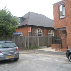
Bethel Chapel Guildford
3.9 km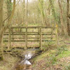
Littlefield Common
2.8 km
Church of St Saviour
3.8 km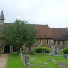
St Luke's Church
2.8 km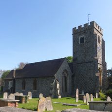
Church of St John the Evangelist
3 km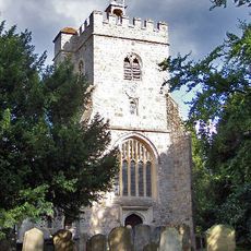
Church of St Mary the Virgin
1.4 km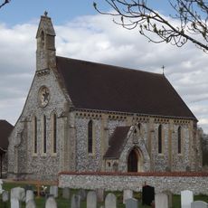
Church of St Edward the Confessor
1.8 km
Church of St Mary
3.3 km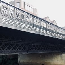
Onslow Bridge
4 km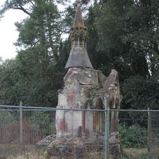
Bent Family Memorial
3.9 km
Former Chapel At North West End Of Ward Street Now Cyrenian House
4 km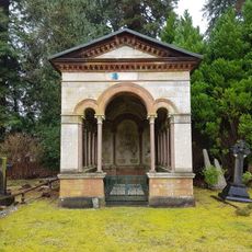
Drake Family Mausoleum
3.9 km
Keep And Attached Gateway, Former Stoughton Barracks
1.9 km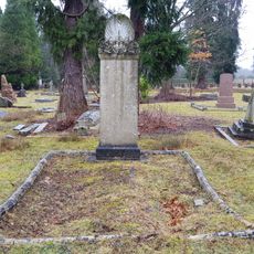
Headstone To Sir Samuel Luke Fildes
3.9 km
Friends Meeting House
4 km
Burpham War Memorial
2.8 km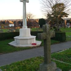
Stoke New Cemetery Cross of Sacrifice, Guildford
2.2 kmAvis
Vous avez visité ce lieu ? Touchez les étoiles pour le noter et partager votre expérience ou vos photos avec la communauté ! Essayez maintenant ! Vous pouvez annuler à tout moment.
Trouvez des trésors cachés à chaque coin de rue !
Des petits cafés pittoresques aux points de vue planqués, fuyez la foule et dénichez les lieux qui vous ressemblent vraiment. Notre app vous facilite la vie : recherche vocale, filtres malins, itinéraires optimisés et bons plans partagés par des voyageurs du monde entier. Téléchargez vite pour vivre l'aventure en version mobile !

Une approche inédite de la découverte touristique❞
— Le Figaro
Tous les lieux qui valent la peine d'être explorés❞
— France Info
Une excursion sur mesure en quelques clics❞
— 20 Minutes