
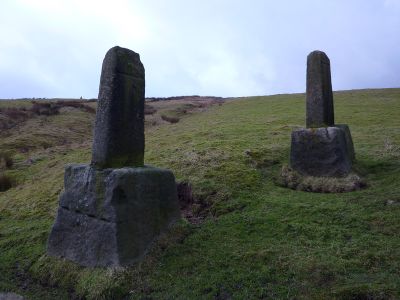
Wayside cross known as Abel Cross, wayside cross in Wadsworth, Calderdale, England, UK
Emplacement : Wadsworth
Coordonnées GPS : 53.77270,-2.02237
Dernière mise à jour : 6 avril 2025 à 10:12
Hardcastle Crags
1.6 km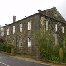
Crimsworth Methodist Church
1.5 km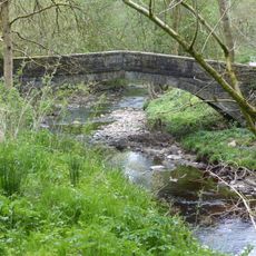
New Bridge
1.7 km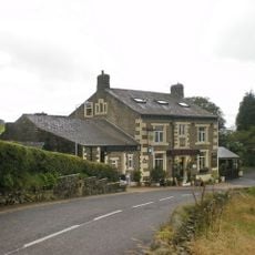
The Robin Hood Inn
1.7 km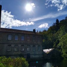
Gibson Mill
1.6 km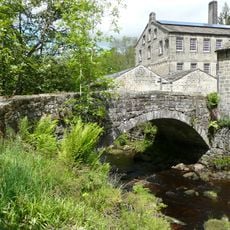
Gibson's Bridge
1.6 km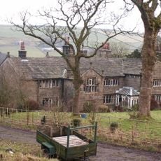
Greenwood Lee
2 km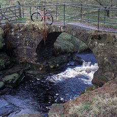
Lumb Bridge
938 m
Stoneshey Gate House
2.1 km
Wheat Ing Bridge
356 m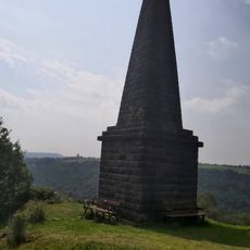
Wadsworth War Memorial
1.6 km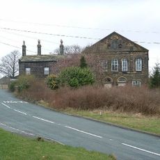
Former Baptist Chapel and attached manse
2.2 km
New Delight
962 m
Bent Head Farmhouse and attached barn
1 km
New High Laithe Farmhouse and attached barn
1.8 km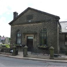
Sunday School of Crimsworth Wesleyan Methodist Church
1.6 km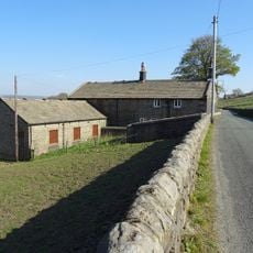
New Greenwood Lee Farmhouse and attached barn
2 km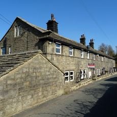
Cragg Side
2.1 km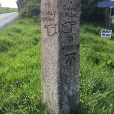
Guide Post In Fork Of Road Between Burnley Road And Widdop Road
2.1 km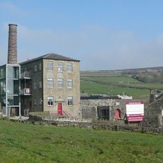
Pecket Well Mill
1.5 km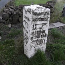
Guide post at junction with A6033
850 m
High Greenwood House
1.7 km
Over Wood Farmhouse and attached barn
2 km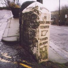
Guide post opposite Number 1 at junction of Akroyd Lane with Keighley Road
1.7 km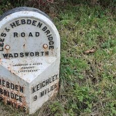
Milestone opposite junction with Crimsworth Lane
1.2 km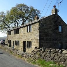
Widdop Gate
2.1 km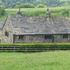
Akroyd Farm Cottage Akroyd Farmhouse
1.8 km
Wadsworth Stone of Remembrance, West Yorkshire
1.7 kmAvis
Vous avez visité ce lieu ? Touchez les étoiles pour le noter et partager votre expérience ou vos photos avec la communauté ! Essayez maintenant ! Vous pouvez annuler à tout moment.
Trouvez des trésors cachés à chaque coin de rue !
Des petits cafés pittoresques aux points de vue planqués, fuyez la foule et dénichez les lieux qui vous ressemblent vraiment. Notre app vous facilite la vie : recherche vocale, filtres malins, itinéraires optimisés et bons plans partagés par des voyageurs du monde entier. Téléchargez vite pour vivre l'aventure en version mobile !

Une approche inédite de la découverte touristique❞
— Le Figaro
Tous les lieux qui valent la peine d'être explorés❞
— France Info
Une excursion sur mesure en quelques clics❞
— 20 Minutes