
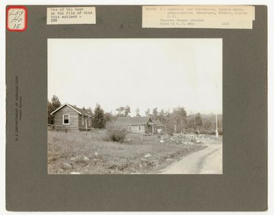
Tensleep Ranger Station, Former ranger station of the Bighorn National Forest renamed the Tyrrell Ranger Station after a forest ranger who died fighting a wildfire
Emplacement : Wyoming
Emplacement : Big Horn County
Coordonnées GPS : 44.18941,-107.25090
Dernière mise à jour : 5 mars 2025 à 01:33
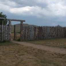
Fort Phil Kearny
51 km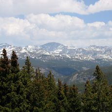
Pic Cloud
22.3 km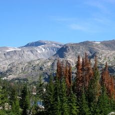
Bomber Mountain
21.4 km
Cloud Peak Wilderness
23.6 km
Black Tooth Mountain
24.5 km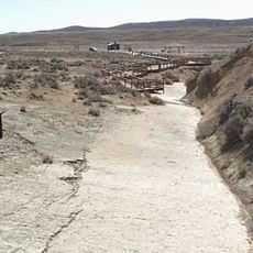
Red Gulch Dinosaur Tracksite
54 km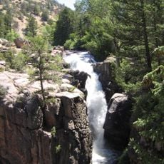
Shell Falls
52.8 km
Jim Gatchell Memorial Museum
47.3 km
TA Ranch Historic District
46.5 km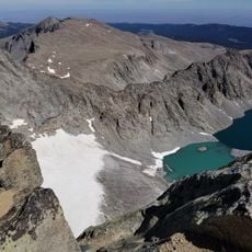
Cloud Peak Glacier
22.9 km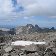
Mount Woolsey
24.3 km
Bighorn Peak
13.6 km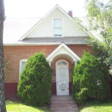
Holland House
47.6 km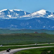
Darton Peak
14.9 km
Worland House
60.1 km
Union Congregational Church and Parsonage
47.5 km
Main Street Historic District
47.4 km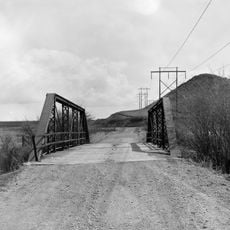
EDL Peloux Bridge
51.4 km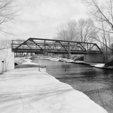
EJE Bridge over Shell Creek
58.3 km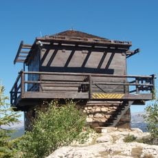
James T. Saban Lookout
5.9 km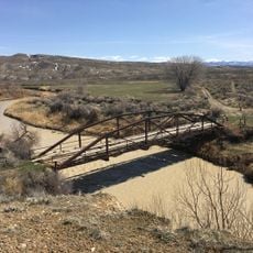
EJP County Line Bridge
34.7 km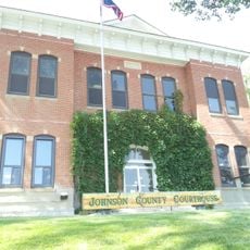
Johnson County Courthouse
47.4 km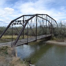
Rairden Bridge
53 km
Ainsworth House
44 km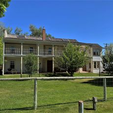
Odd Fellows Hall
58.3 km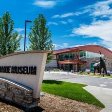
Washakie Museum & Cultural Center
58.4 km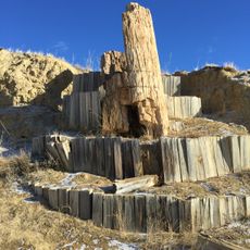
Dry Creek Petrified Tree Environmental Education Area
60.2 km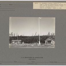
Tyrrel Ranger Station
0 mAvis
Vous avez visité ce lieu ? Touchez les étoiles pour le noter et partager votre expérience ou vos photos avec la communauté ! Essayez maintenant ! Vous pouvez annuler à tout moment.
Trouvez des trésors cachés à chaque coin de rue !
Des petits cafés pittoresques aux points de vue planqués, fuyez la foule et dénichez les lieux qui vous ressemblent vraiment. Notre app vous facilite la vie : recherche vocale, filtres malins, itinéraires optimisés et bons plans partagés par des voyageurs du monde entier. Téléchargez vite pour vivre l'aventure en version mobile !

Une approche inédite de la découverte touristique❞
— Le Figaro
Tous les lieux qui valent la peine d'être explorés❞
— France Info
Une excursion sur mesure en quelques clics❞
— 20 Minutes